Anaura Bay Walkway, Gisborne
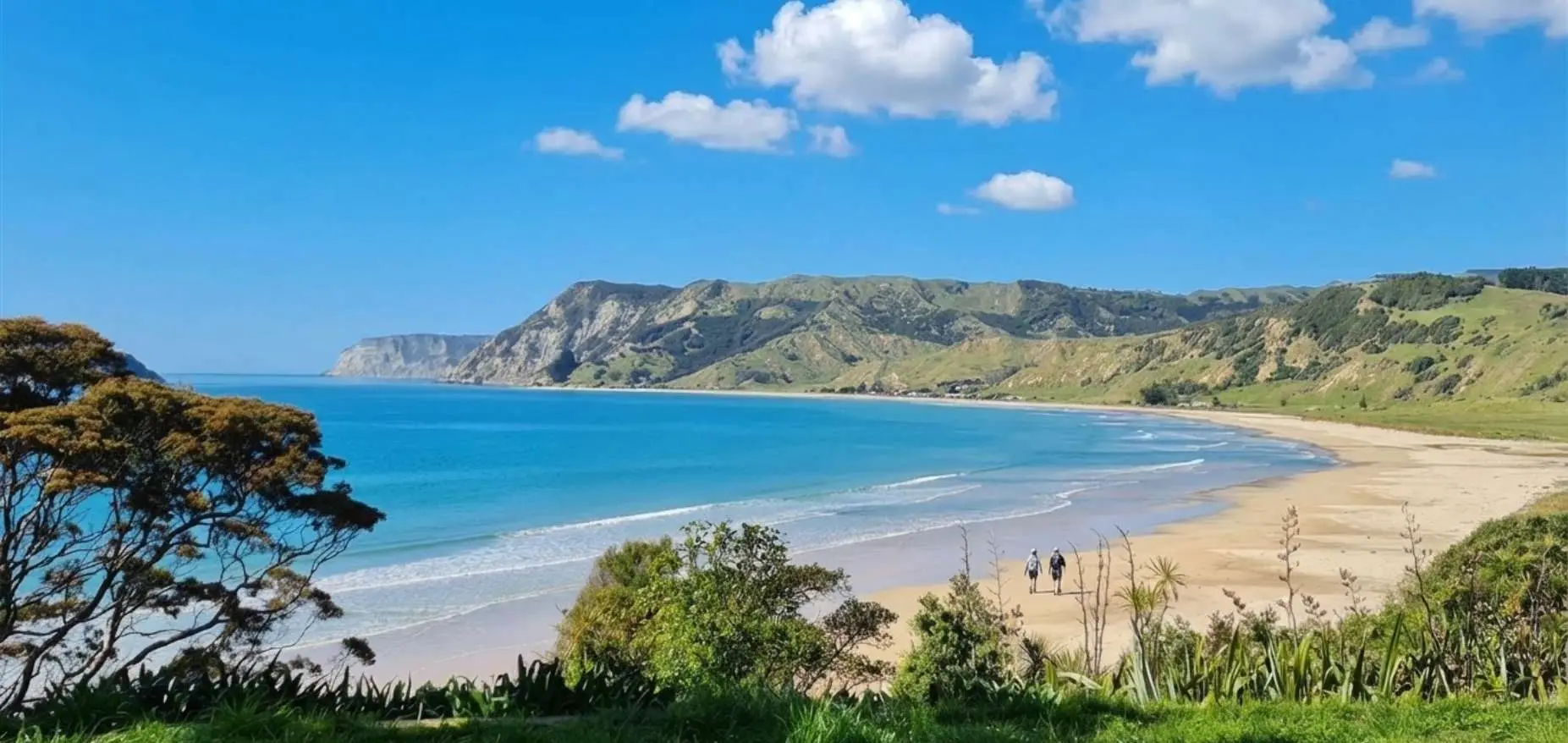
Anaura Bay Walkway: 4.5 km loop, currently partially closed due to storm damage. Stream crossings, ridge views over bay and Motuoroi Island. 80 km north of Gisborne on SH35. No dogs.
Anaura Bay Walkway: 4.5 km loop, currently partially closed due to storm damage. Stream crossings, ridge views over bay and Motuoroi Island. 80 km north of Gisborne on SH35. No dogs.
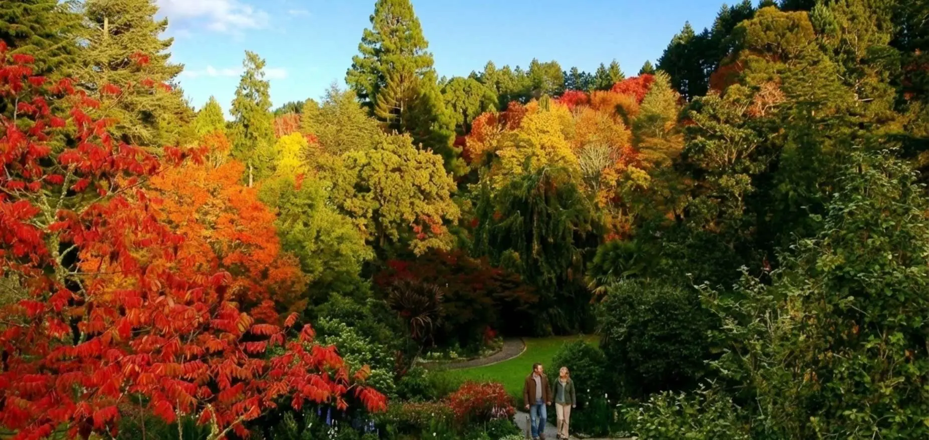
Eastwoodhill Arboretum: 6 colour-coded walks from 1.7-5.1 km, entry fees, exact track times, autumn colour timing, muddy track warning. 30 minutes from Gisborne.
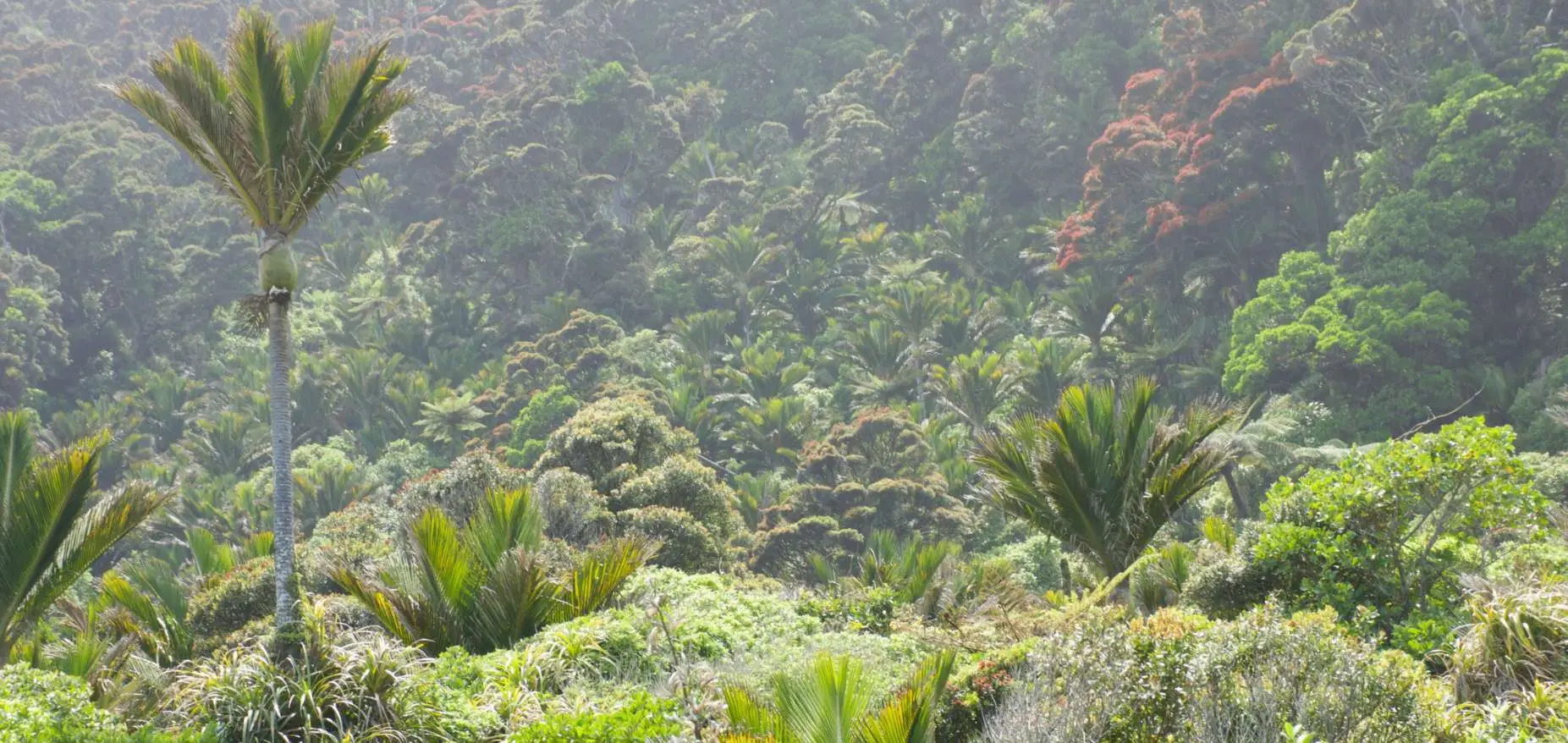
Gray’s Bush: 400-500 year old kahikatea trees, flat easy tracks, wheelchair accessible short loop, 10 km from Gisborne. NZ’s only remaining lowland forest of this type. No dogs.
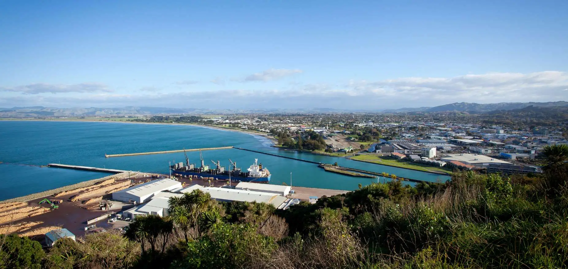
Titirangi / Kaiti Hill, Gisborne: summit views of Poverty Bay and three rivers, Cook landing history, steep stairs vs graded path option, drive-to-top parking. Everything you need.

5.8 km return, 2.5 hours, Hole in the Wall rock arch, Cook’s 1769 landing site, safe swimming cove. Closed Aug-Oct for lambing. No dogs. 52 km from Gisborne.

1 km easy walk, 60 m natural waterslide, bring a boogie board. Free parking, 50 km from Gisborne. What to expect, best time to go, facilities on site.