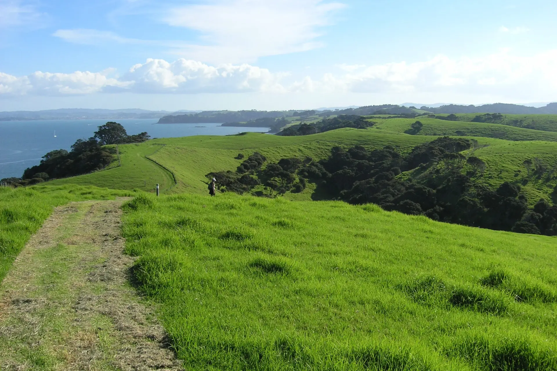
The North and South Coast Track is an 8km loop with some of the best coastal views in Auckland. You’ll walk through farmland (with cattle), along cliff tops with views to Little Barrier and Great Barrier Islands, and out to Tokatū Point at the peninsula’s tip.
The real highlight is the wildlife. Tāwharanui is New Zealand’s first open sanctuary where farming, conservation, and recreation coexist behind a predator-proof fence. Takahē waddle across paddocks, bellbirds sing from the bush, and kiwi call at night. If you camp overnight and head out after dark with a red torch, you’ve got a decent shot at seeing North Island brown kiwi – one of the best places near Auckland to spot them in the wild.
Head north on State Highway 1 toward Warkworth. Turn right at the Matakana Road traffic lights (67km from Auckland). Drive 8.9km through Matakana township, if it’s Saturday morning, the farmers market is worth a stop, but you’ll need to be there early or forget about trying to park close by! The bakery is dangerously good with excellent organic sourdough rye bread.
From Matakana, continue 1.7km and turn right onto Takatu Road (signed to Tāwharanui). This narrow road is now fully sealed (completed December 2023) and runs 13km to the park.
You’ll pass through an automatic pest-proof gate. Free parking at Anchor Bay car park (end of the road) or Lagoon car park. No shops in the park – stock up in Matakana or Warkworth before you arrive.
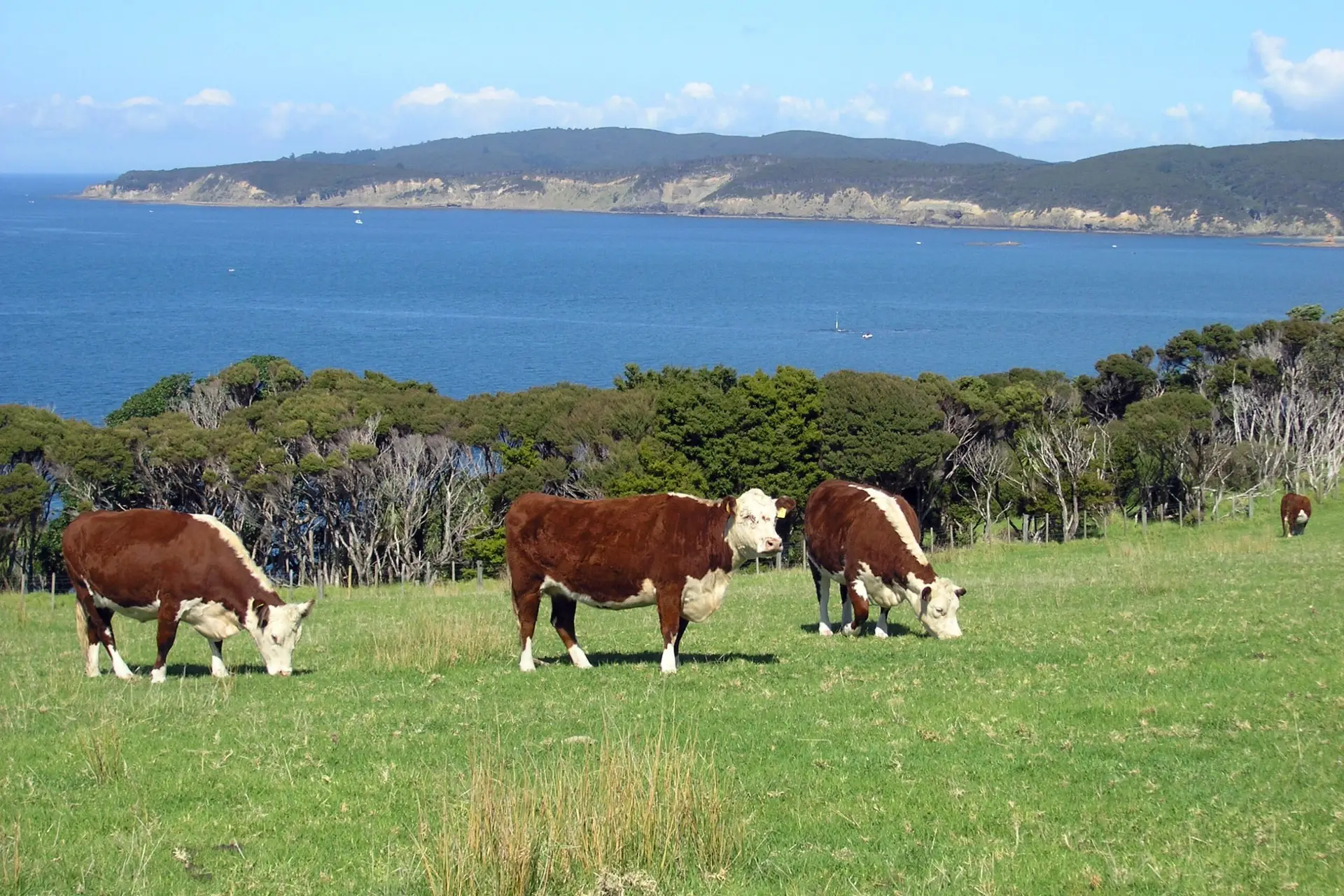
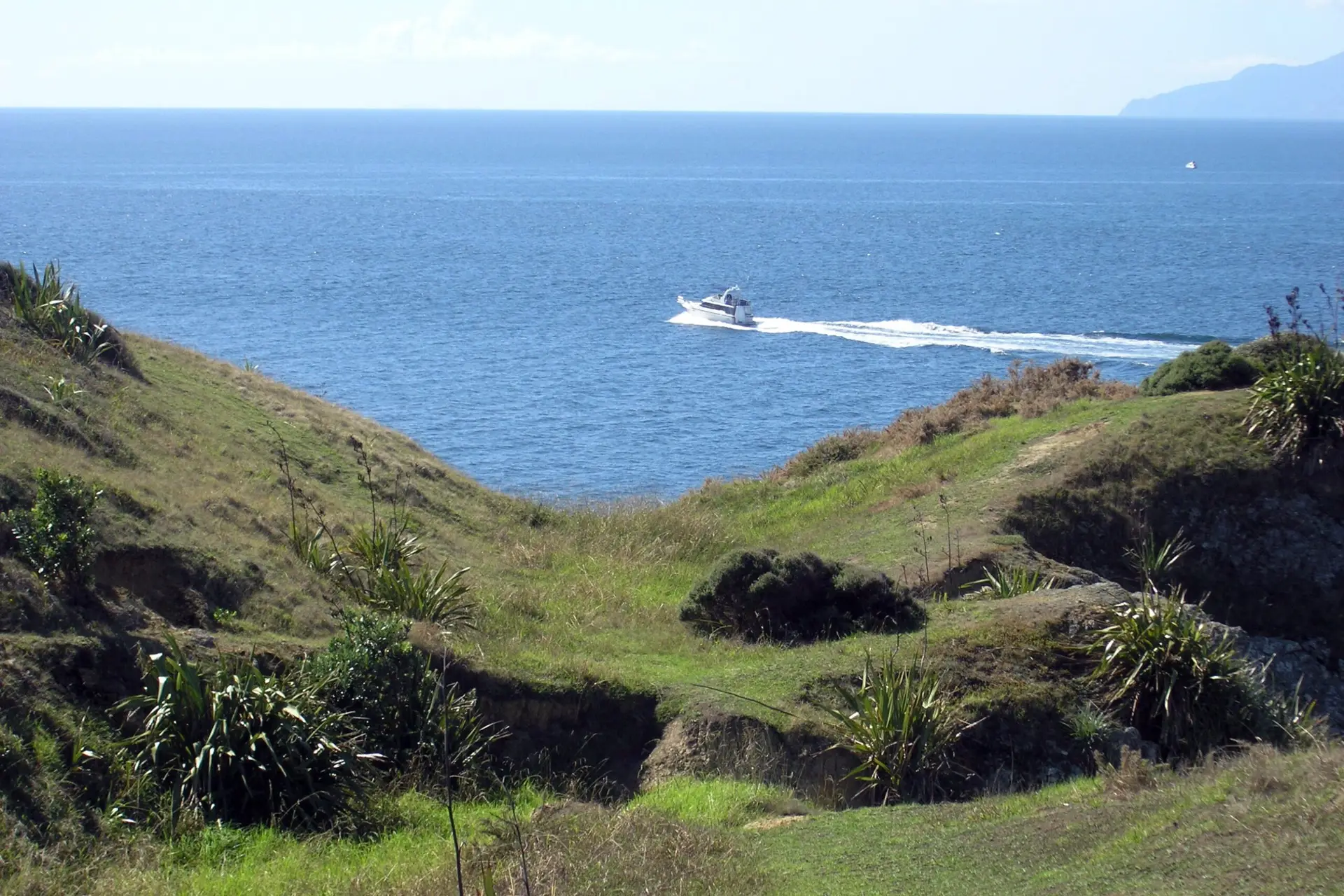
Start from Anchor Bay car park. Cross the footbridge near the beach and follow white markers up through farmland along the south ridge. You’ll climb gradually with views across to Kawau Island. The track undulates over rolling farmland for about 45 minutes past a trig point. You’ll share the track with cattle – they’re used to people but watch where you step. Several farm gates to open and close.
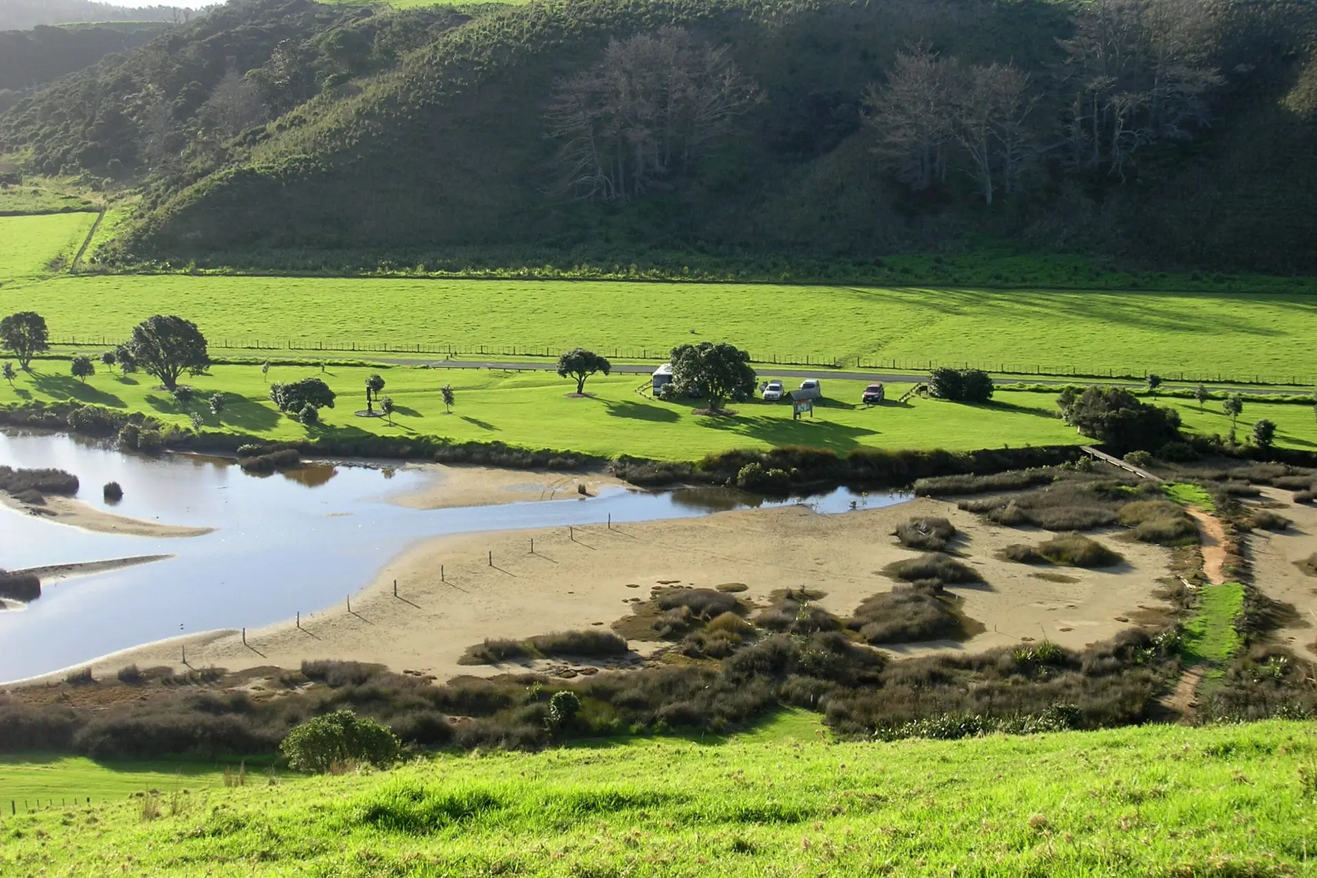
Instead of the inland track, you can walk from the Lagoon car park along the beach to Māori Bay (3.8km, 1 hour 20 minutes) and return via the South Coast ridge. This only works at low tide – you’ll be walking over rocks, exploring tide pools, and crossing the lagoon outlet. More details in the Tawharanui Beach Walk at Low Tide guide.
At the junction with Tokatū Point Track, you can either:
Tokatū Point: From the junction, walk uphill to the trig (10 minutes). Behind the fence line, a sign marks the track to the lookout. Jump the fence and head downhill through tea tree. Halfway down there’s a fork to the right – take it if you have time (adds 20 minutes). This gives you the best clifftop views where you can look straight down into the surf. Great for fish spotting. Orange tapes on trees mark pest control trap locations.
Return: Head back to the trig and follow posts toward Anchor Bay via the North Coast Track. Mostly downhill – 15 minutes over farmland, then gravel farm track back to Anchor Bay.
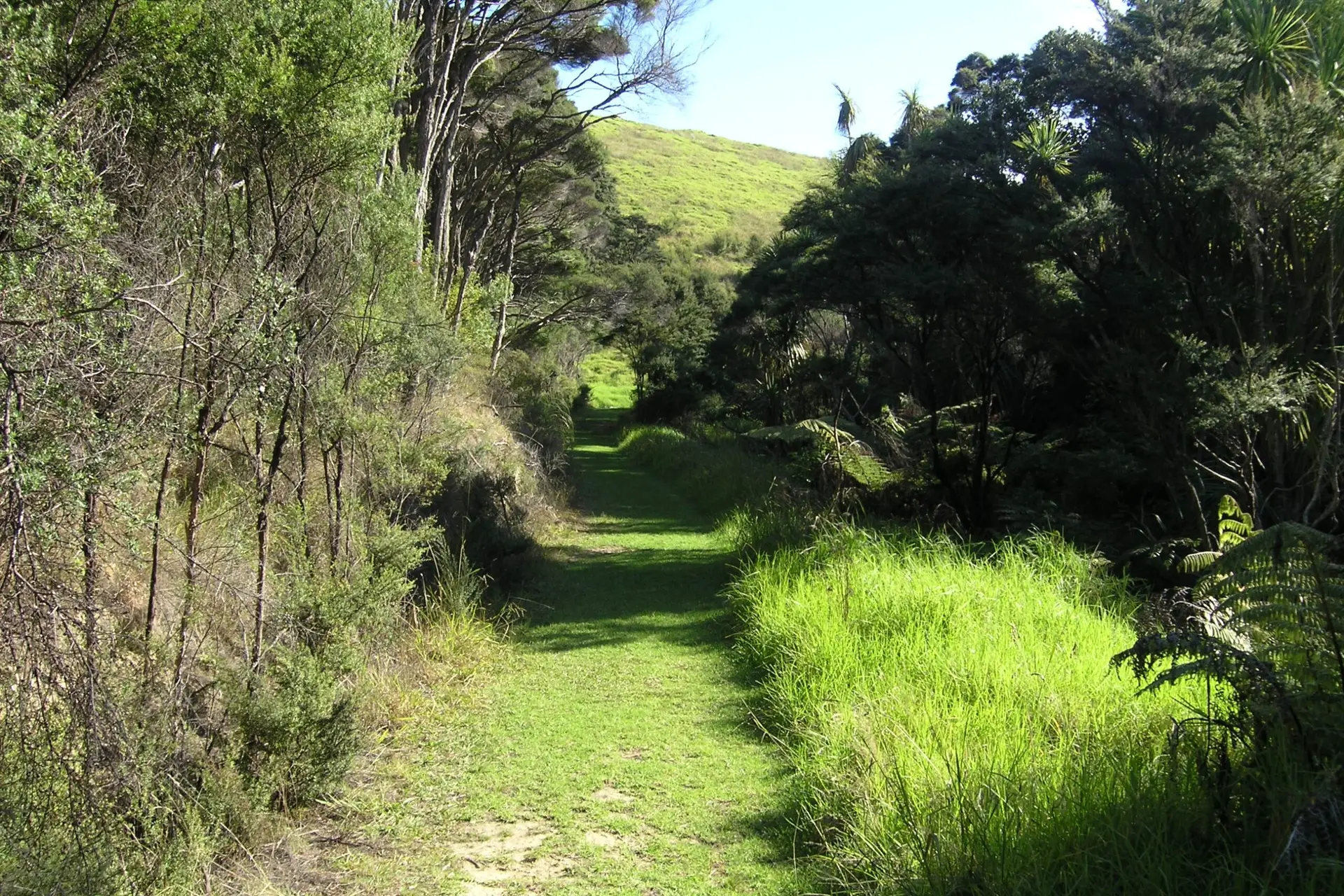
Alternatively, return via the Ecology Trail (yellow posts) which cuts through native forest, wetlands, and streams. Better walking surface and more birdlife. Takes about 1.25 hours back to Anchor Bay.
Tāwharanui became pest-free in 2004 after a predator-proof fence and helicopter bait drops eliminated rats, stoats, and possums. Since then, threatened species have been reintroduced: North Island brown kiwi (2006), takahē, pāteke (brown teal), North Island robin, saddleback. Bellbirds and kākā self-introduced from Little Barrier Island.
Takahē are often visible in paddocks along the road or on the Ecology Trail. These massive blue-purple birds were thought extinct until rediscovered in 1948. Tāwharanui has several breeding pairs.
For kiwi, camp overnight and head out after sunset with a red torch. Listen for their piercing calls. The Mangatawhiri Track is popular for spotting, but they’re heard across the park. If you see one, stand quietly, don’t chase.
At low tide, explore the rock pools off Anchor Bay (part of Tāwharanui Marine Reserve). Some pools are big enough to sit in while waves crash beside you. Wear sturdy footwear; the rocks are sharp.
Tent and vehicle-based campgrounds behind the dunes at Anchor Bay. Booking essential during peak season (17 Dec – 31 Jan). Worth staying overnight for kiwi and dawn birdlife.
Facilities: toilets, cold showers, drinking water taps. Gas BBQs allowed (bring your own).
In Tāwharanui Regional Park:
Worth Knowing
