Walk around an entire island in the Bay of Islands with beaches at every turn, WW2 bunkers, stunning 360-degree views, and enough variety to keep things interesting. This pest-free sanctuary is home to kiwi, saddleback, and robins, though you’ll need patience (and luck) to spot them.
Distance: 5km loop
Time: 1.5-2 hours (or 3-4 hours with beach stops)
Difficulty: Easy
Track type: Well-formed coastal track with grass, beach sections, and some stairs
Elevation gain: 414m total
Moturua Island is only accessible by boat. You can:
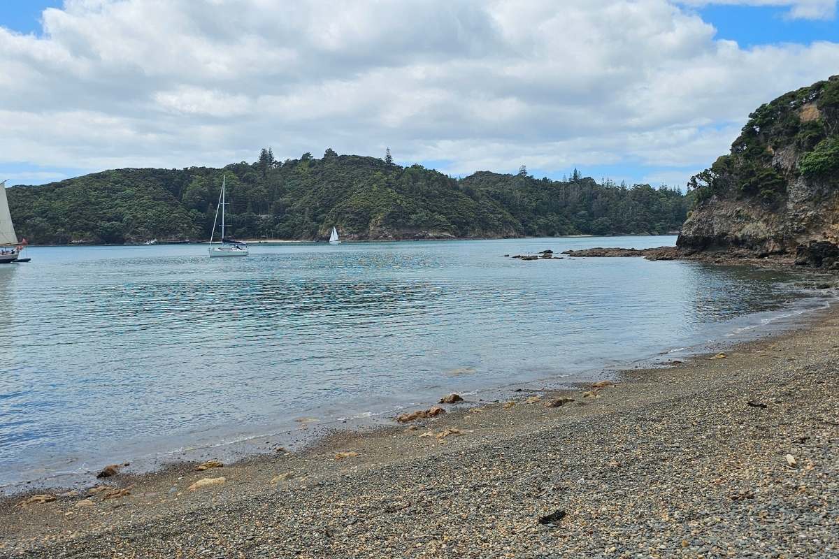
Landing bays: Waiwhapuku (Army Bay), Otupoho (Homestead Bay), Mangahāwea Bay, or Waipao (Frenchman’s Bay). All have safe anchorage. The track connects all four, so you can start anywhere and walk the loop in either direction.
Facilities: Composting toilets at Otupoho Bay only. Nothing else – no water, no shelter, no shops.
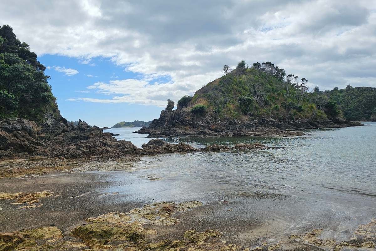
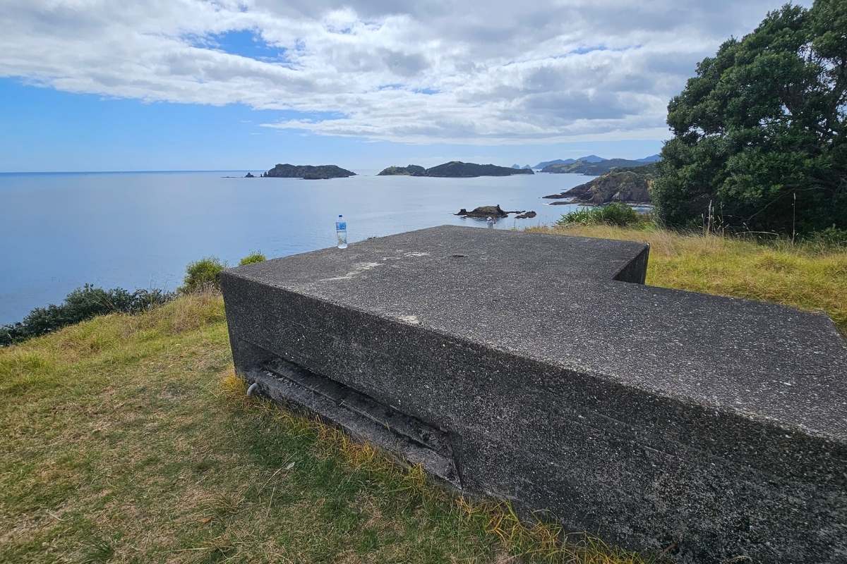
Start at Army Bay where the Island Gateway ferry drops you off. Before you head out, check out the WW2 concrete bunker near the beach – this was a mine observation post built on top of Hikurangi Pā in 1942 when the Navy operated a coastal defense station here. The concrete pads behind the beach mark where barracks and ablution blocks once stood.
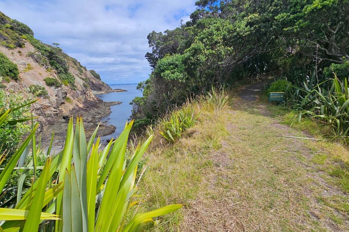
The track heads through open grassland along the coast. Views open up across the bay to anchored yachts and the mainland beyond. The walking is easy – mown grass track that rolls gently up and over low ridges.
You’ll pass through patches of regenerating coastal forest where pōhutukawa provide shade. Look for the green marker posts when the track isn’t obvious – though it’s well-formed and hard to lose.
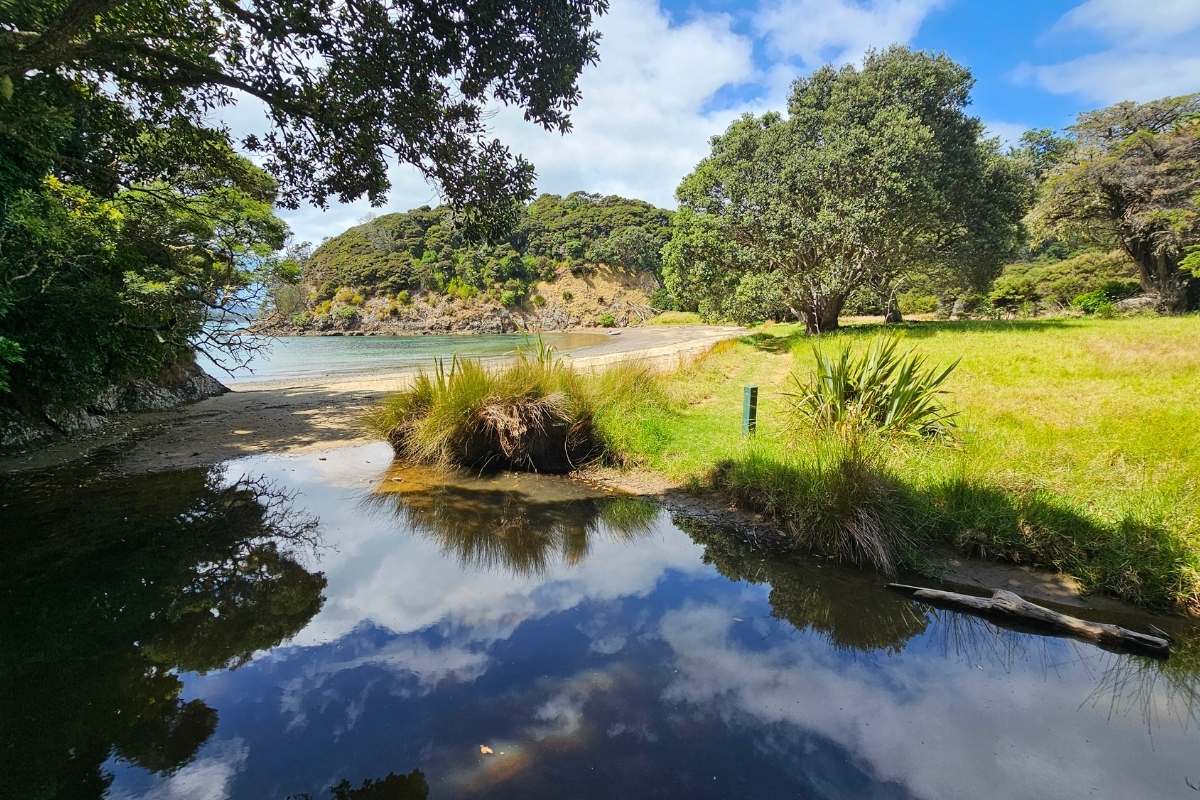
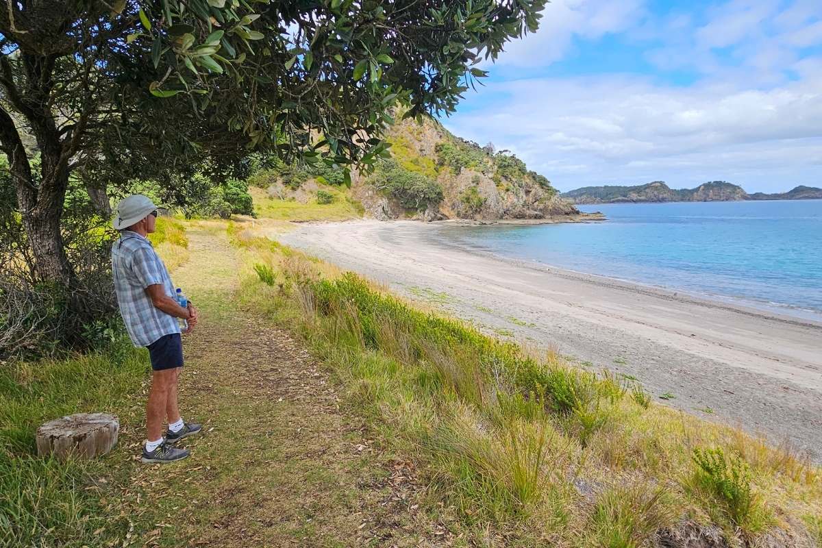
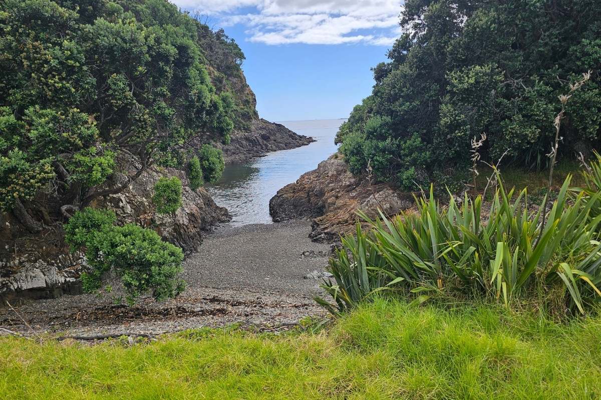
Drop down to Mangahāwea Bay, a pretty crescent of sand and pebbles. Good swimming here, and the snorkeling is excellent if you brought gear. This bay can get a bit of swell rolling in, so it’s not always calm.
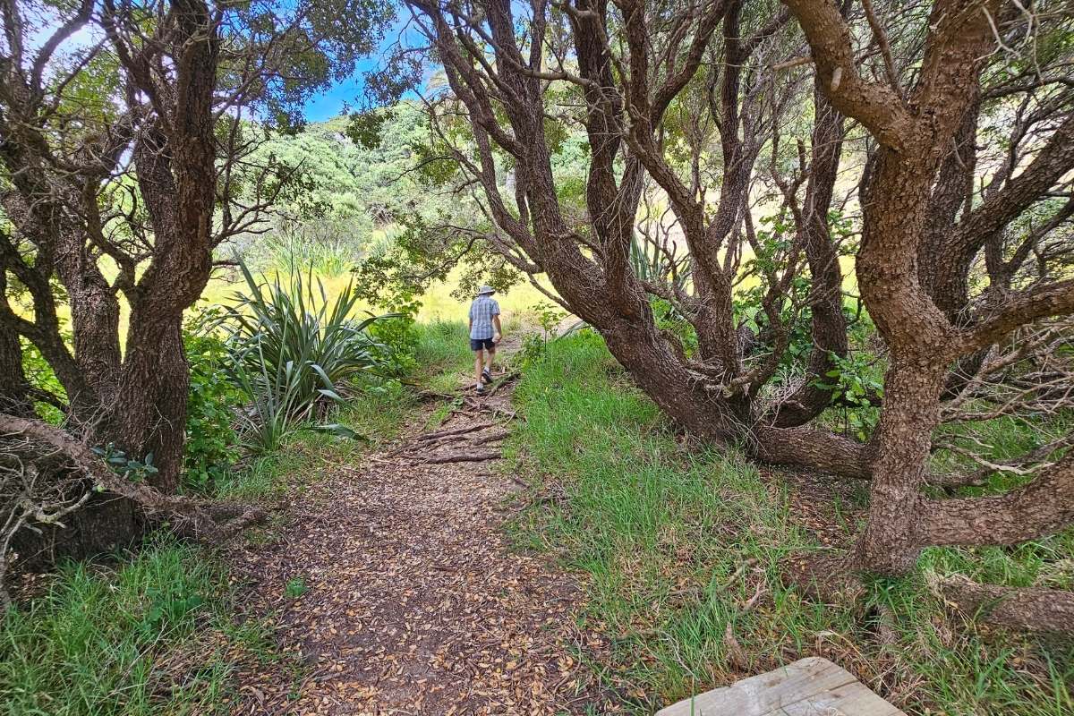
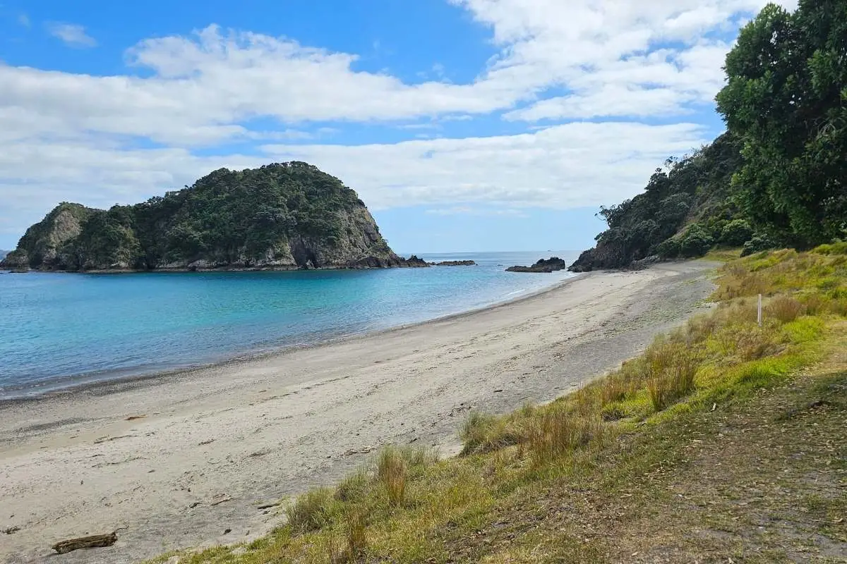
This section can be muddy after rain – it’s the most forested part of the loop. The track climbs up through native bush, crosses a ridge, then descends to Waipao (Frenchman’s Bay).
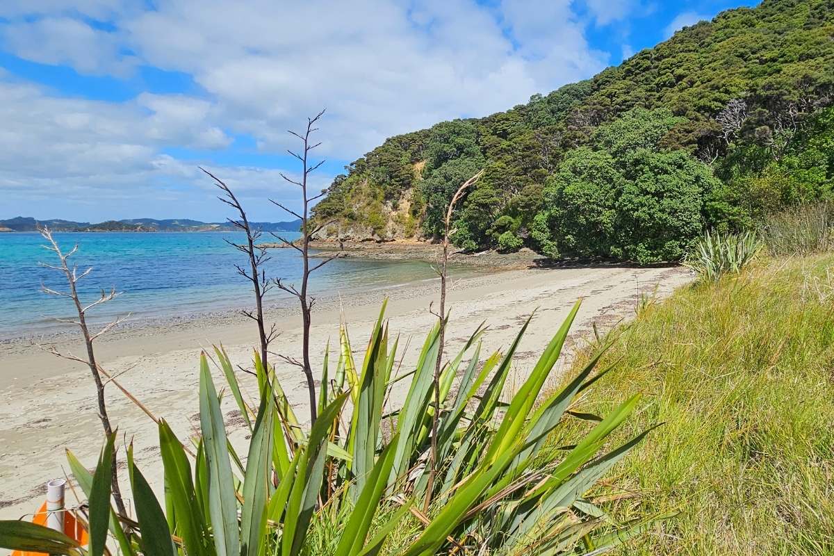
You’re walking on history here. In 1772, French explorer Marion du Fresne set up camp at Waipao for three months. His crew built a hospital, forge, and barracks while they repaired their ships. Relations with local Māori deteriorated after thefts from the camp, and du Fresne was later killed during a fishing trip. Before leaving, the French buried a bottle claiming New Zealand for France – supposedly in the stream bank at Waipao Bay. It’s never been found.
Another climb and descent through coastal forest and grassland. The track is well-formed with some stairs in the steeper sections.
Otupoho (Homestead Bay) is where you’ll find the island’s only facilities – composting toilets and picnic areas. This was once a small Māori village, later farmed by a local family until 1968. The cream boat used to call here for milk.
If you’re on the water taxi, this is where you’ll likely get picked up, so it’s a good spot for lunch.

The final leg takes you up to the island’s highest point with sweeping views across the Bay of Islands. On a clear day you can see right across to the outer islands and Cape Brett.
Watch for archaeological sites along this section – there are 27 on the island, including old kumara storage pits visible from the track. Don’t wander off the path – you could damage these sites or bring in weed seeds.
The track descends back to Army Bay through more open grassland.
Year-round, but summer (Dec-Feb) is warmest for swimming. Spring (Sep-Nov) has the best birdsong. Avoid midday in summer – it gets hot on those exposed grassland sections.
Track status: Open year-round
Land status: DOC Scenic Reserve (part of Bay of Islands Maritime and Historic Park)