Home » North Island » Waikato Region » Taupo » Mt Tauhara Summit Walk
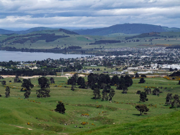
On a clear day you’ll get excellent views of Lake Taupo, Mt Tongariro and not forgetting Mt Ruapehu. Mt Tauhara is 1,088m above sea level and was formed about 65,000 years ago. The walk starts from the sign behind the large pine tree, walk over farm land to the water tanks. Follow the walking track to the summit of Mt Tauhara. See photos and more details below.
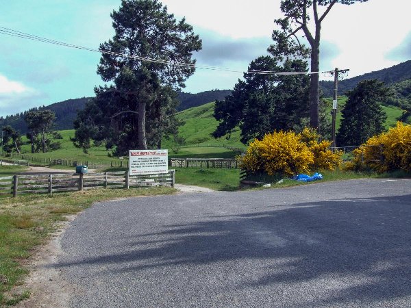
From downtown Taupo, all you need to do is make your way to the Taupo, Napier Highway. You can see Mt Tauhara from town. At 5.2km from the lake edge you will see the sign to Mountain Road and N.Z.A.D rifle range, turn left and drive to the end of the road.
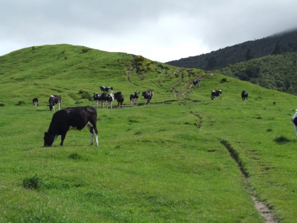
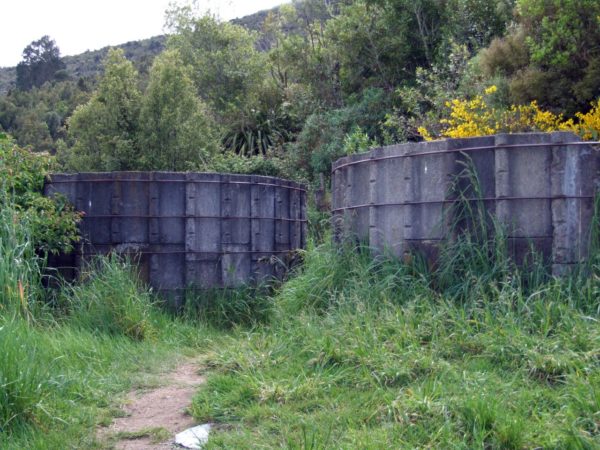
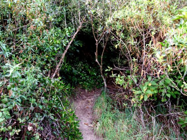
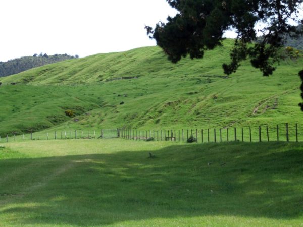
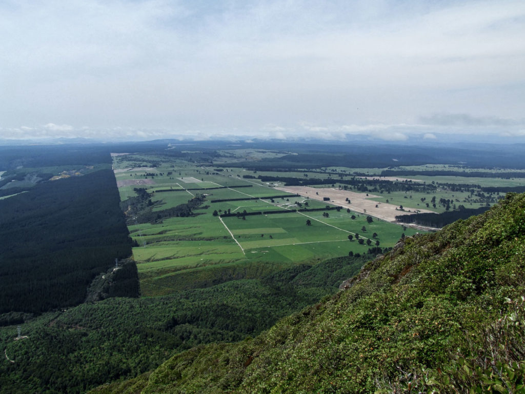
Behind the rather large pine tree you will see the sign to the start of the track. For the first 50 minutes you will be walking up hill over farm land to the water tanks. Then you disappear into the scrub.
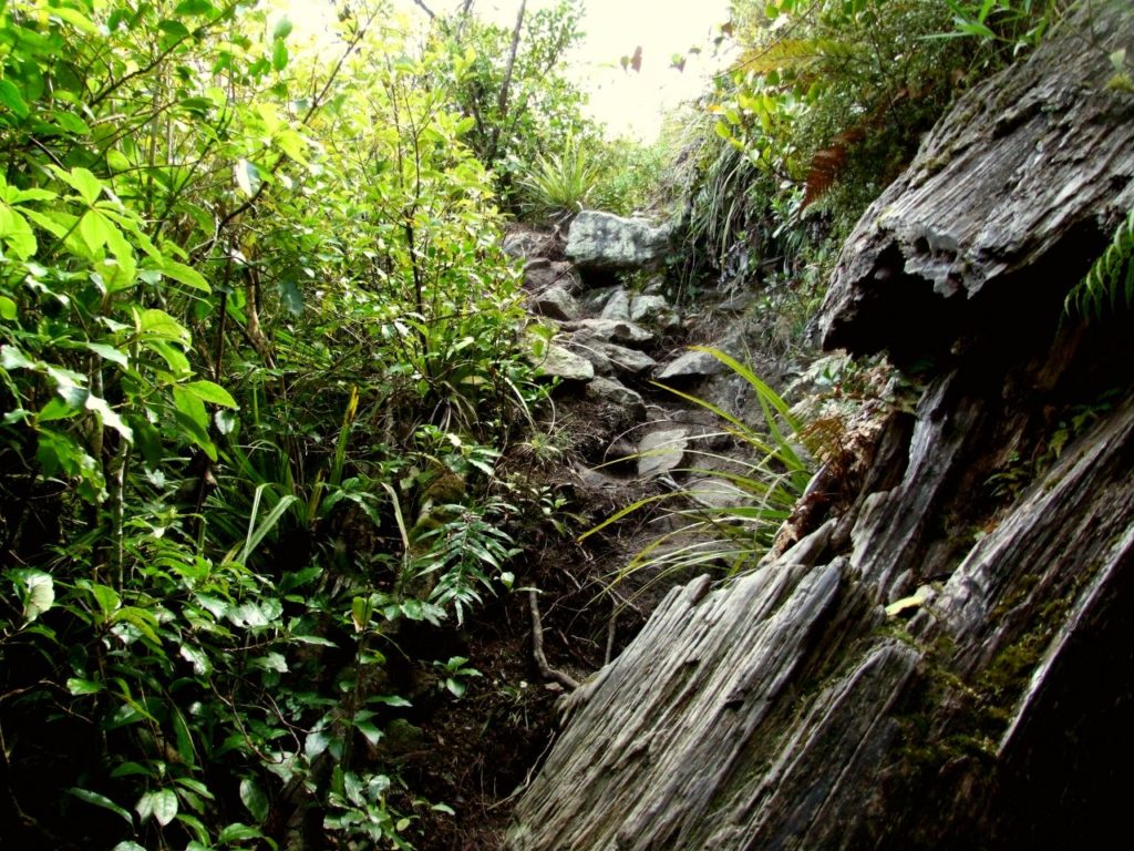
From the water tanks, it is uphill all the way. The track is not too bad to start off with, just a little on the steep side but that does not last for long.
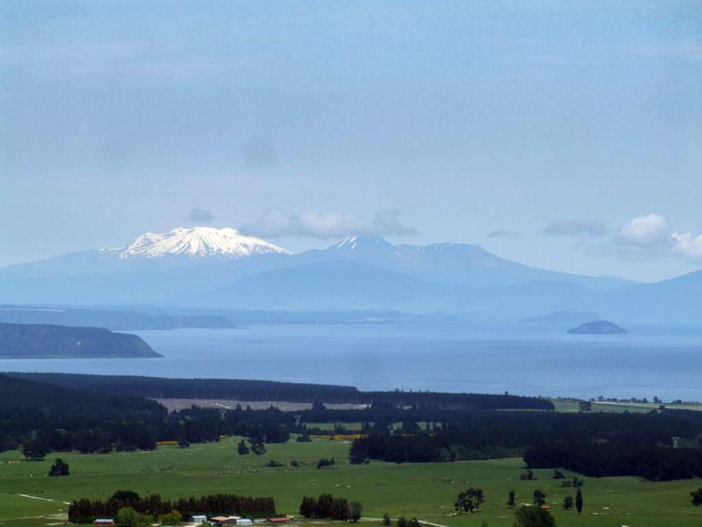
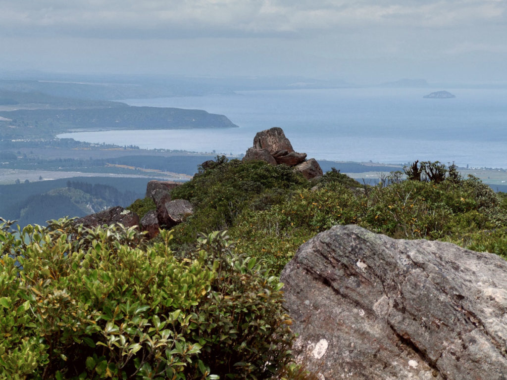
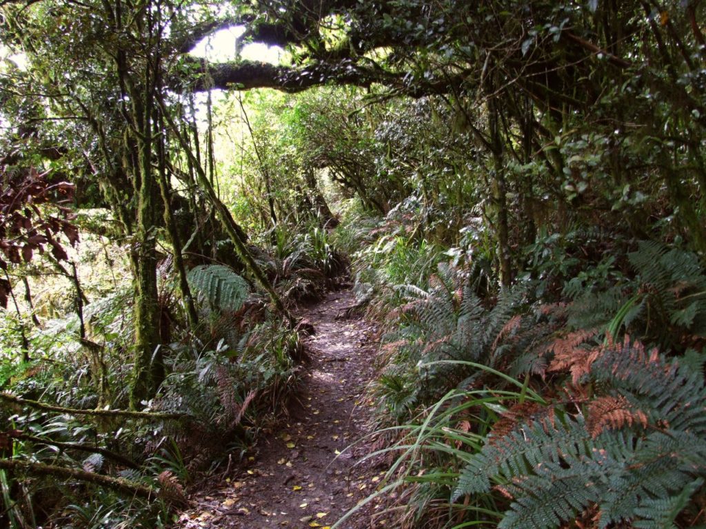
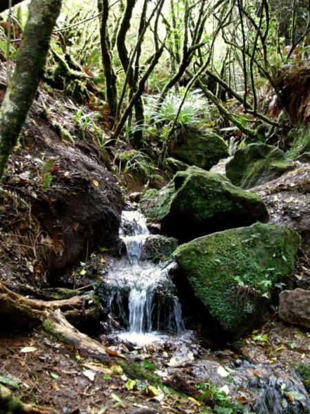
The walk to the summit of Mt Tauhara from the creek is very enjoyable, there is a short flat section to walk along before the last climb to the summit of Mt Tauhara. Today the views of the whole Lake Taupo district were outstanding. Some light clouds passed overhead and the wind was bitterly cold but in all, it was a fantastic day.
Return the same way back to your car.
