The Gibbons and Muir Track loop at Whatipu is one of the better day walks near Auckland. You start on the beach, work up through wetlands and sandhills to a backcountry shelter, climb the Muir Track to a ridge with views out to the Manukau Harbour entrance, then drop back through the bush to the car park. It’s remote, it’s rough in places, and it’s well worth the effort.
The track was closed for four years for kauri dieback protection work and reopened in April 2022 after a $2.3 million upgrade. Boardwalks and gravel have improved the worst sections noticeably. After a drop of rain though, expect to be sitting on your butt a few times, so leave the good shoes at home.
Quick Facts
| Distance | 14 km loop |
| Time | 5 hours |
| Difficulty | Moderate to hard |
| Track surface | Beach, sand dunes, muddy bush track, boardwalks |
| Dogs | Not allowed |
| Toilets | Long drop at Pararaha shelter |
| Camping | Pararaha Valley campground (permit required) |
| Cost | Free |
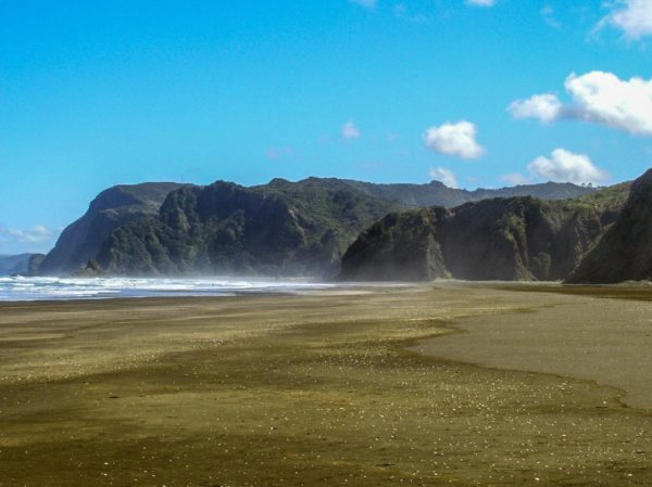
Walk out to the beach at Pararaha Point
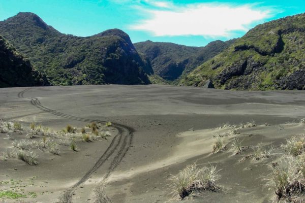
Really interesting black sand dunes
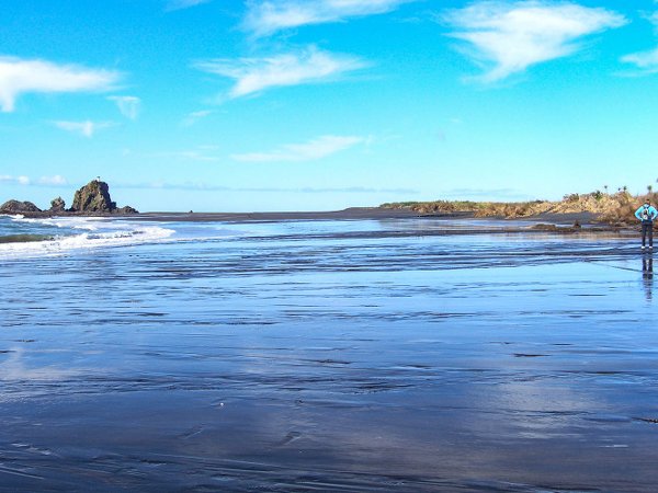
Wetlands on the Gibbons Track Walk
Getting There
Whatipu is at the end of Whatipu Road, accessed via Huia. From Auckland allow around an hour. The road is narrow in places so take care, especially on the final stretch. There is no public transport to Whatipu.
Park in the Whatipu car park at the end of the road. Before you head off, use the kauri dieback cleaning station at the trailhead to scrub and disinfect your boots. This is compulsory under a Controlled Area Notice and applies every time you enter and exit the bush sections. Don’t skip it.
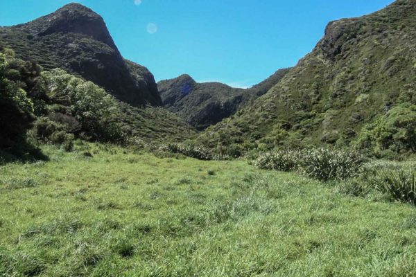
Walk up the valley & look for markers.
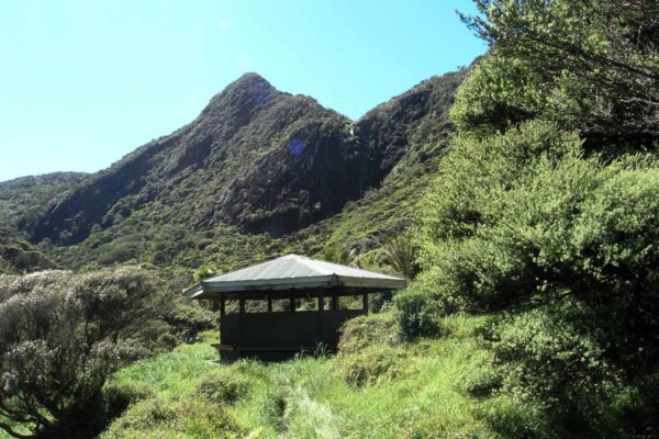
Pararaha Point Shelter
The Walk
- From the car park, head straight for the ocean
- Walk out to Pararaha Point, then turn north up the beach
- The beach walk is stunning at low tide
- In winter, keep well clear of the wetlands to your left. It’s one immense bog. Seriously, take a boat or water wings
- As you walk north, look to your right at the main ridge running north. You can see where it drops down to Pararaha Point and the wetlands, about 4.6 km from the car park as the crow flies. That’s where you’re headed. Look for the gully
- Head up the valley and look for markers. You’ll find yourself on top of a sandhill looking down at the track. There are a couple of boardwalks along the way
- You’ll meet up with the Zion Track at the base of a hill. Take the right fork to the Pararaha shelter, crossing a creek on the way. About 45 minutes from the beach
- The Pararaha shelter is on sloping ground, not ideal for a tent. Sleep in the shelter if you’re staying overnight. There’s a long drop here, and you’ll need a permit if you’re camping
- Just before the shelter, look for a rough track going off to your right. This is the Muir Track
- The Muir Track heads straight up, narrow, rocky and muddy, for about 15 minutes to a creek. It keeps climbing, getting muddier and more slippery until you reach a spur. From the spur to the top it eases off slightly, but not much. Watch for a tricky rocky section just above the shelter
- Reach the Walker Ridge Junction at about 35 minutes from the shelter. The track improves from here, though you’ll still need to navigate a couple of deep mud holes and duck under low branches
- There’s one good lookout on the whole track where you can get a great view of the coast. From here you can see where the old tram track used to carry out the logs north to Karekare settlement to be milled
- The descent to Whatipu is steep but not as rough or muddy as coming up from the other end
- About 15 minutes from the car park, there’s a turn-off to the caves and a tent site
- When you break out of the bush you’ll see the car park. Stop at the small bridge, it’s a good spot to wash your boots and legs. Don’t drink the water though, stock are in the paddocks
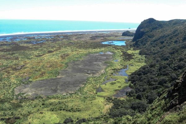
Views across to the wetlands
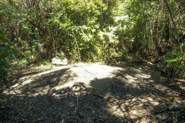
Walker Ridge Junction
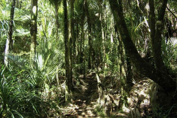
Walking along the Gibbons track
What You’ll See
The beach walk is stunning at low tide, but the coastal bush is nothing to talk about. What makes this walk special is the black sand hills. The lakes sitting in the dunes are a really interesting and unusual sight, you won’t see anything like it anywhere else near Auckland.
The views from the Gibbons ridge are the other highlight. On a clear day you get a good look at the Manukau Harbour entrance and the coastline stretching north. From the one decent lookout on the track you can also make out where the old tram track used to haul logs north to the Karekare settlement to be milled.
The Whatipu area is a scientific reserve owned by DOC. The New Zealand dotterel breeds here so if you’re walking the beach section keep your eyes open and give any marked nesting areas a wide berth.
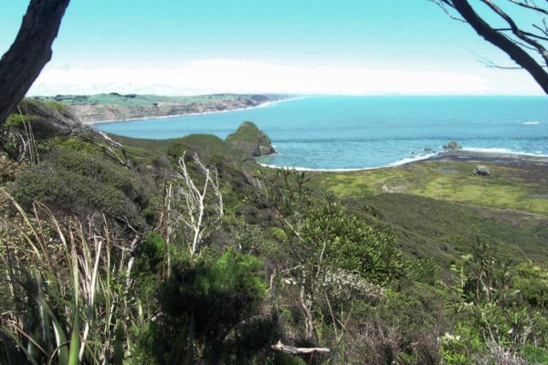
Views out to Manukau Entrance
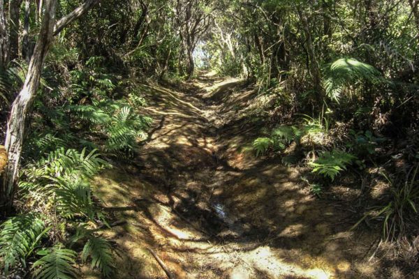
Part of the track
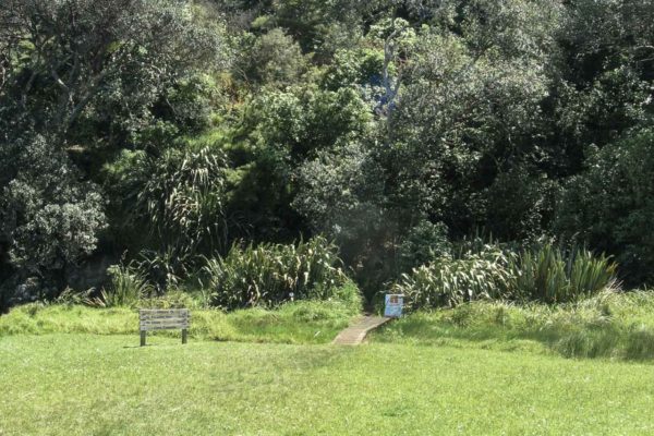
300m to the carpark
Good to Know
- Kauri dieback: The Waitakere Ranges are subject to a Controlled Area Notice. You must clean and disinfect all footwear and equipment at every cleaning station you pass. Carrying visible soil into the area is an offence under the Biosecurity Act
- Road access: Whatipu Road is narrow in sections. Take it slow, especially if you’re not familiar with it
- Track conditions: It can be very rough and slow going in places, although the upgrades have made it a lot better now. After rain the Muir Track section in particular gets very muddy and slippery
- Water: There is water at the campground. Do not drink from the stream near the car park, stock are in the paddocks above it
- Camping: Pararaha Valley campground requires a permit booked in advance through Auckland Council
- Caves: There’s a turn-off to the Whatipu Caves about 15 minutes before the car park on the return. Worth a detour if you have time and energy left
- Mobile coverage: Variable. Download offline maps before you leave
What to Bring
- Sturdy waterproof boots with good grip
- Trekking poles, useful on the Muir Track descent
- Plenty of water
- Snacks
- Rain jacket
- Offline maps downloaded
- Insect repellent