After eight years closed for kauri dieback protection, the Zion Hill Track is back open. I walked it and it’s worth every bit of the wait. This is a proper west coast adventure, one of the most dramatic half-day walks in the Auckland region. You get steep climbing, sweeping coastal views, wetland flats with nikau palms, an old tramway tunnel carved through rock, a walk the length of Karekare’s black sand beach, and a scramble back through the dunes to finish.
It’s hilly in places, the sand is heavy going, and you’ll know you’ve done something by the time you get back to the car. The track has been completely rebuilt in sections, with boardwalks, non-slip stairs, and gravel surfacing through the kauri-dense upper areas. It feels like a new track in all the right ways.
Quick Facts
| Distance | Approx. 10 km |
| Time | 4.5 hours |
| Difficulty | Hard |
| Route type | Loop |
| Elevation gain | 265 m |
| Surface | Gravel, boardwalk, soft sand, bush track |
| Dogs | On lead, but must turn back at the Pararaha Valley Track junction |
| Toilets | Karekare car park, Tunnel Point Campground |
| Water | Pararaha Creek, treat or filter first |
| Mobile coverage | No |
| Parking | Karekare car park, Karekare Road |
| Start GPS | -36.9855, 174.4660 |
Getting There
Head out on the Northwestern Motorway, take Lincoln Road, then follow Henderson Valley Road to the roundabout and take Forest Hill Road to the end. Turn right onto West Coast Road, then right onto Scenic Drive. Take Piha Road, then turn onto Karekare Road and follow it all the way to the car park at the end.
Toilets are at the car park.
Walking the Loop
The Climb to Mount Zion
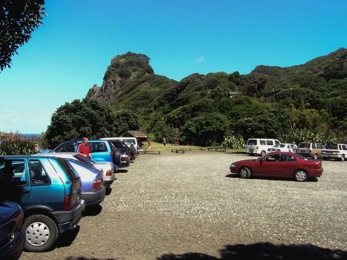
Walk back along the road from the car park, cross the bridge, and turn into the grassy picnic area at Pohutukawa Glade. This is where the climb begins.
The track rises sharply into regenerating coastal forest. It’s a proper climb from the start, not a gentle warm-up, but the rebuilt surface makes for good footing. As you gain height toward Mount Zion, the views open up across raw cliffs, rolling headlands, and the Tasman Sea. I stopped more than once just to stare.
The Descent into the Wetlands
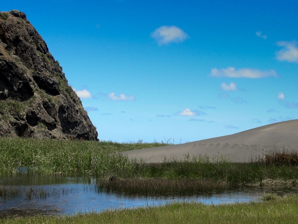
Beyond the summit, the track drops into a different world. Wetland panoramas stretch out below, the old tramway route threads through the dunes in the distance, and cool sheltered gullies are thick with nikau palms. The scenery keeps changing on this section, and it keeps getting better.
The Kauri Cleaning Station
When you reach the kauri dieback cleaning station, stop and clean your boots thoroughly before continuing. This is also the point where dog walkers must turn back and return the way they came. The loop section ahead passes through a scientific reserve where dogs are not permitted.
Pararaha Valley Track and the Tunnel
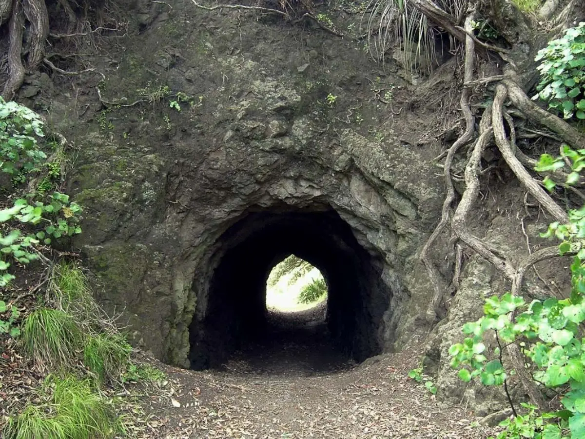
From the cleaning station the track connects to the Pararaha Valley Track. Follow this down toward the coast. Turning toward the beach brings you to Tunnel Point Campground and the tunnel itself, a short passage cut through solid rock as part of the historic tramway operation. It’s a great spot to stop for lunch before tackling the beach section.
Karekare Beach
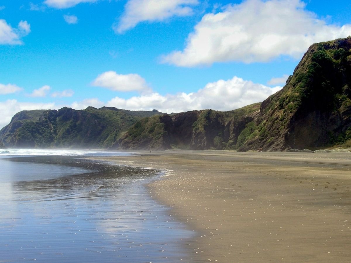
From the tunnel, follow the old raised tramway route along the cliff face and out onto Karekare Beach. Walk the full length of the beach north. If the wind is up it’ll be in your face, so move toward the waterline if the tide is out for firmer going on the sand.
The Dunes and Back to the Car Park
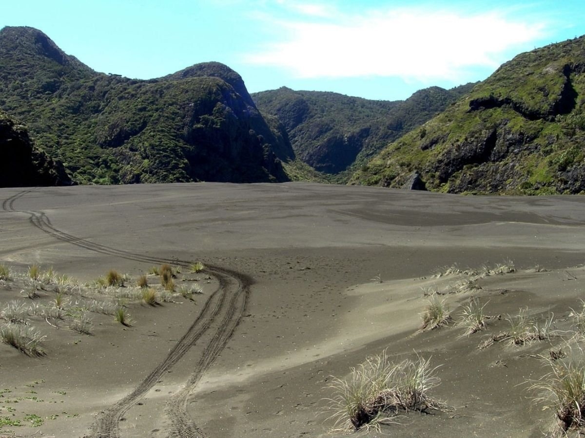
At the northern end of the beach, cut back through the dunes and up under the towering cliffs to return to Pohutukawa Glade. This dune section is the hardest going on the whole walk. The sand is soft, the climb is real, and your legs will know about it. Take it steady and enjoy the views back over the beach.
What You’ll See
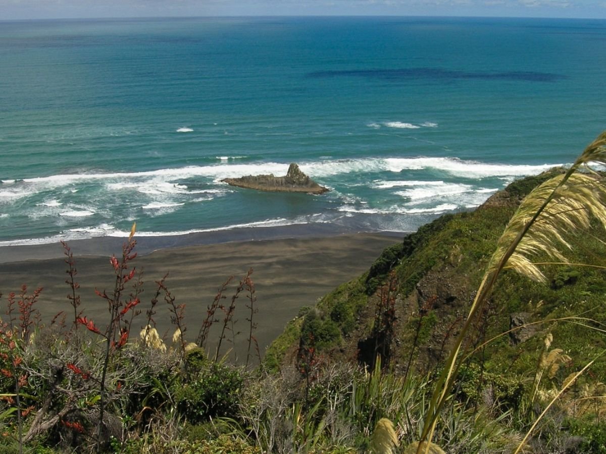
- Mount Zion summit views across the Tasman Sea, Karekare headlands, and Panatahi Island
- Wetland panoramas from the ridge on the descent, with the old tramway visible threading through the dunes below
- Nikau palm gullies on the lower slopes, sheltered and cool
- The tramway tunnel cut through rock, still intact after over a century
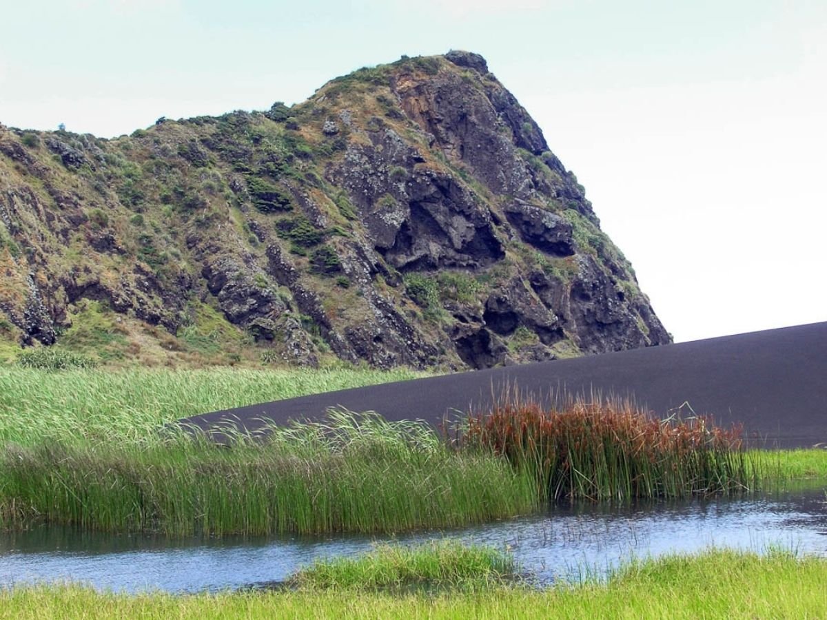
- Karekare Beach in full black-sand glory, with Watchman Rock at the northern end
- Native birds throughout the forest sections
Good to Know
- Kauri dieback: Use the cleaning stations at the start and at the Pararaha Valley Track junction. Clean boots, gaiters, and poles thoroughly with the brushes and spray provided.
- Dogs: On lead for the Zion Hill Track section only. Must turn back at the Pararaha Valley Track junction as the loop section through the dunes is a scientific reserve.
- Wet feet: Likely at stream crossings after rain. The creek crossing on the return can be ankle-deep.
- Slippery sections: The bush track can get slippery after rain, particularly on the descent. Take care.
- Mobile coverage: None. Download offline maps before you leave.
- Tides: The beach section is easier at low tide. Check tide times before you go.
- Time: 4.5 hours is realistic if you keep moving. Allow extra for photos, lunch, and the tunnel stop.
Overnight Option
If you want to make a weekend of it, both Pararaha and Tunnel Point campgrounds are tent-only, no-power spots right on the route. Tunnel Point sits right at the tunnel. Both require bookings through Auckland Council. There’s no drinking water at Tunnel Point campground.