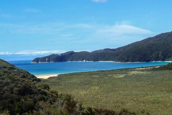
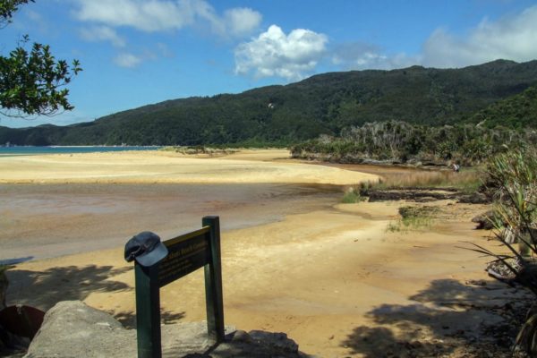
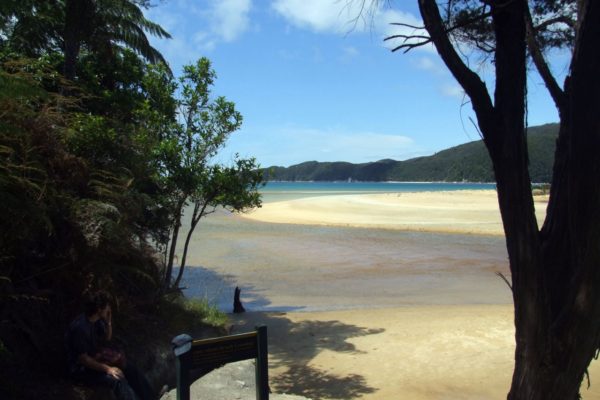
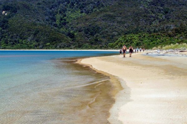
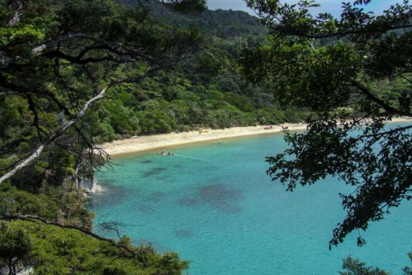
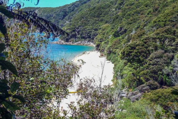
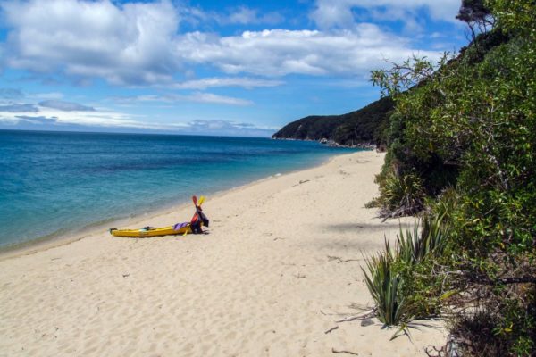
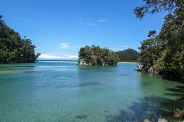
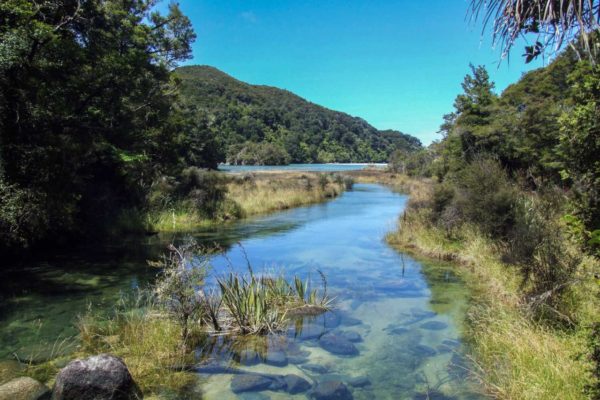
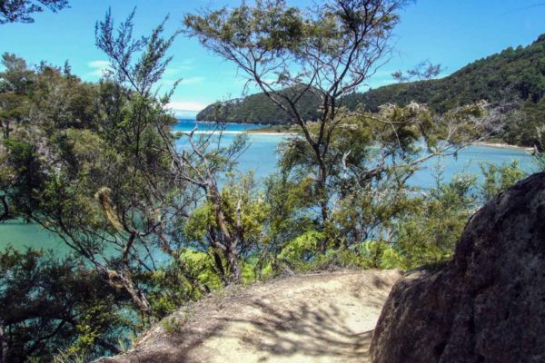
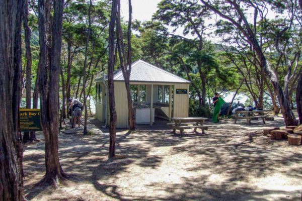
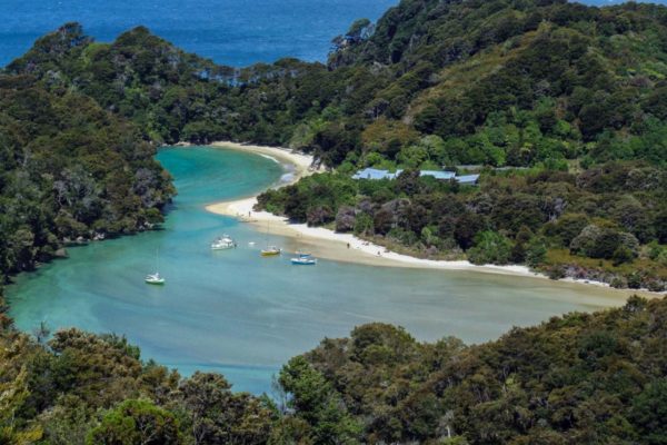
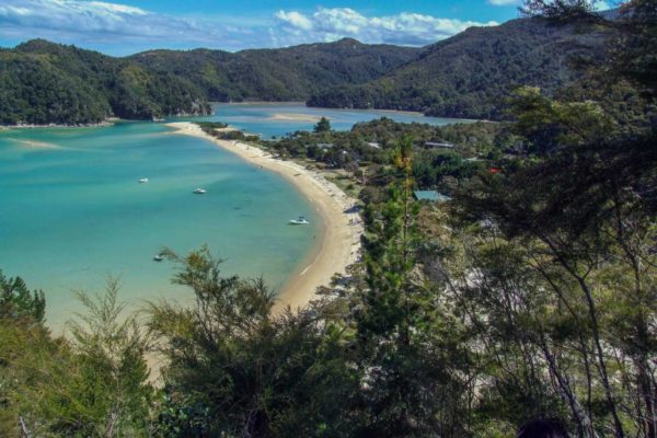
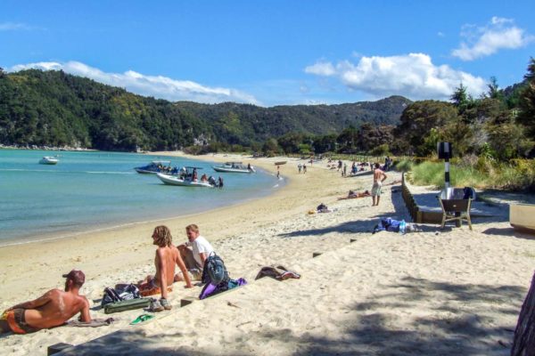
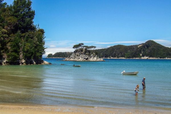
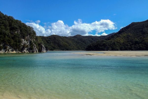
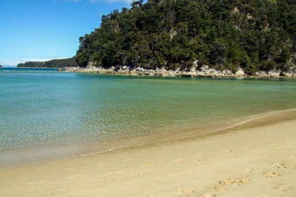
The Abel Tasman Coast Track is one of the Great Walks of New Zealand. It mostly follows the coast between Marahau and Wainui and takes between 3 – 5 days to complete. As we only had one day available for walking, we had to make a decision on which section to walk. In the end, we decided to walk the section of track between Awaroa Bay and Torrent Bay, as to us this was the prettiest section. Our walk was one way and began by water taxi at Awaroa Bay. From there we walked to Torrent Bay which was 15.7k taking 5 hours 30mins. We then left by water taxi.
This post is a very detailed account of our day hike along the Abel Tasman Coast Track. The Abel Tasman National Park is New Zealand’s top National Park in the South Island. The one-stop destination for beaches, bush, and rivers. Grab a backpack and experience the walk with us.
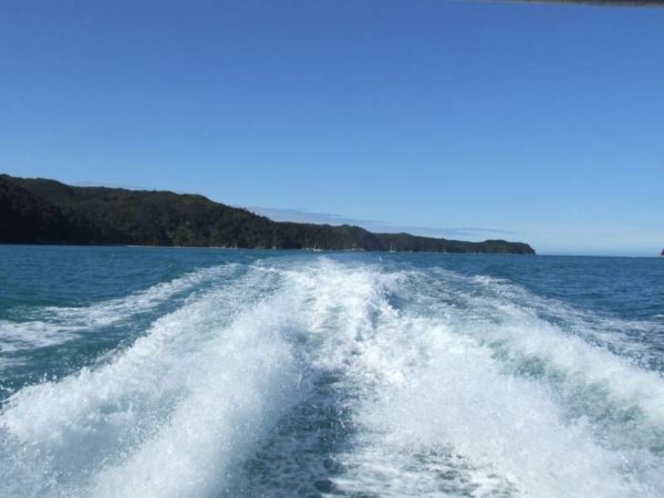
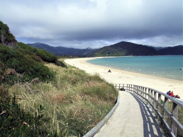
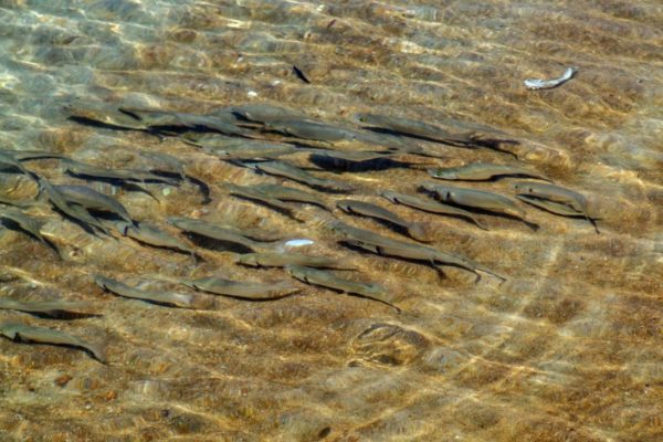
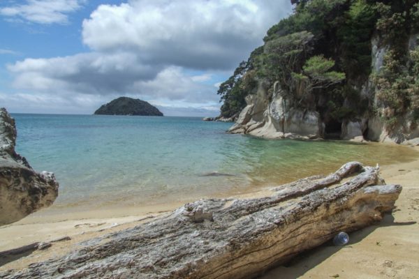
Kayaking around the Abel Tasman Coast is not only a great way to see the coast from a different view, but you’ll get to see bays and beaches you wouldn’t see on the walk. You can either hire a kayak and explore on your own or take a full-day guided kayak tour with lunch on a secluded white sandy beach. Kahu Kayaks offer an awesome deal on a 1-day freedom rental for as low as $55 pp (normally $80). Or get a great discount on the full-day guided kayak tour.
Ok, the Abel Tasman Coast Track is a big walk, some of you might not be able to do the walk but still want to see the beauty without kayaking or walking. Taking a boat tour or scenic cruise is the best way for you. Some cruises also include a self-guided walk.
There are a number of different operators for water taxis, we couldn’t say which one would be better. Check them all out yourself first.
Spectacular golden sand beaches, crystal clear water lagoons, awesome coastal views, sightings of seals and dolphins from the water taxi
Good firm walking surface. Wide track. Can be easily walked in sandles. Heavy boots not required.
Tidal – estuary crossing. You can only cross into Onetahuti Bay 3 hours either side of low tide; there is no other track. If you miss the tide, you could lose a whole day. Check tides before you leave.
Buses from Nelson & Motueka all year round. Plenty of water taxis will take you to the start of the walk.
Purified drinking water is available only at Anchorage, Barks Bay, Awaroa Bay, Toaranui Bay and Whariwharangi Bay. Otherwise, there is tap water in other locations which must be boiled or filtered before drinking.
From Nelson, head onto State Highway 6 to Richmond. From there follow the signs to Motueka and Collingwood on Highway 60. Once you are in Motueka, keep driving north on State Highway 60 straight through the township for 7.8km. On a very sharp hard left-hand corner, Kaiterteri Rd runs off to the right. Be very careful, turning to the right on this corner. It is well signposted. From there it is only a 5.5km drive to Kaiterteri.
At Kaiteriteri Beach
The Abel Tasman National Park is named after the sailor Abel Tasman and was opened on 18 December 1942. This date was chosen for the opening as it coincided with the 300th anniversary of the great sailor’s visit. Abel Tasman National Park is New Zealand’s smallest at 23,000 hectares. The full Abel Tasman Coast Track is 52 km long and can be walked in 3 -5 days and is suitable for families. The coastline is popular for sea kayaking as well.
In the map above, if you zoom in on the walk, you’ll see all the following track points and their location. Each point has photos along with a description of each one.
You need to take the water taxi to the start of the track, it leaves from the water’s edge at Kaiteriteri Beach and arrives 1¼ hours later at Awaroa Bay. This travel time can vary depending on how long you spend at the seal colony. We were a little late because a small pod of dolphins were cruising by Tonga Island. Once we got off the boat, it was a 5min walk to the Awaroa Lodge where we spoiled ourselves with a flat white coffee and a slice of cake at the cafe at the Lodge. We left the lodge at 11.15 am and followed a small sign pointing left to the coastal walk. Keep looking for the signs; it is a zig-zag walk. Head for the organic veggie garden, then turn to the left, and you are on your way. Up to date prices on the water taxis can be found by doing a Google search.
At the bottom of the track, is the tricky part. If you have not timed the tides right, you could be sitting there for hours waiting for the tide to go out far enough for you to cross safely. We were lucky; we didn’t realise we had to be so careful with the tides, so we only got wet up to our knees.
After crossing over the estuary onto the beach, we took off our sandals and walked barefoot along the beach to Onetahuti Camp. We were amazed at how many people were walking the track, but I guess it will be at this time of the year. We were fascinated by the 100’s of fish swimming up and down right on the water’s edge. What we thought was a big patch of seaweed seemed to be drifting 2 to 3 metres out from the water’s edge in the same direction as we were travelling, but hang on there was no current. After wading out into the water, we were excited to see a stingray was following us!
We arrived at Onetahuti Camp at 12.30 and spent 15 minutes walking around admiring the camp facilities. With your back to the beach looking at the cooking shelter, there is a track running off to a beautiful little freshwater waterfall. At the bottom of the fall is a sparkling pool just deep enough to wash off the salt and sand from your dip in the ocean. This is a very beautiful campsite. You have trees for shelter from the sun, some grass to pitch the tent and a kitchen shelter to cook under. Yes and even a flushing toilet! The tap water there has to be boiled or filtered.
The section between Onetahuti Camp to Bark Bay is 4.3 km and took 1 hr 40 min. The track starts from the southern end of the beach. After 3 minutes of walking, you can look back and get a fantastic view of the Onetahuti Camp and beach. From here it is an effortless 15-minute walk to Tonga quarry with fantastic coastal views. A couple of minutes short of Tonga Quarry you can look down onto the beach.
We arrived at Tonga Quarry at 1.04 and stopped for lunch and admired the million-dollar views. Started walking again at 1.26. Tonga Quarry is not my choice of campsites. It’s very sandy and not very flat, but interesting in history. In the early days, the granite rock was mined in this bay because it tended to split evenly when steel wedges were driven into the cracks between the rock. The big square slabs of granite were then winched down to the beach and shipped off to Nelson and Wellington. Today squares of granite can still be seen sitting on the beach waiting to be shipped out.
From Tonga Quarry, it is a 60-metre climb up into Long Valley Creek. This is a fascinating walk as you will see large outcrops of granite and a good variety of New Zealand ferns and trees. The day we were there, a mob of wild pigs had just been through the valley routing up the ground looking for fern roots and bulbs leaving their telltale signs (as if someone has had been through with a spade digging up the ground ready for a garden). Once you pass over the ridge and start heading down to Bark Bay, you’ll see a track running off to your left. We took the chance and headed off down the track hoping that we could cross Bark Bay Inlet to save ourselves half an hour’s walk to Bark Bay campsite.
Top up here with fresh filtered drinking water from the tap provided by DOC. Be careful; make sure you get the right tap; there is a sign next to the right one to use. Make use of the flushing toilets while you’re here. If the tide is out, you can take a short cut to the campsite. Walkout to the beach in front of the hut and straight across the inlet to the campsite. This will save you about 4 minutes of walking time.
We arrived at the Bark Bay Campsite at 2.50 to find a steady stream of campers arriving to pitch tents; it looked like Queen St on a Friday night. Tap water here has to be boiled. The ground at the campsite is made up of dirt and sand and could be very sticky if it’s been raining, you could end up with a lot of dirty gear. This campsite has a flushing toilet and a fireplace. It’s only 30 seconds to walk to Abel Tasmans most popular beach.
From Southern Heads ridge it’s a downhill walk to Water Falls River swing bridge. It’s a 47-metre long suspension bridge. From the swing bridge it’s an 80-metre climb up to the next ridge, the hardest climb of the day, just enough to get a sweat up and work off the flat white and rather large slice of carrot cake with yoghurt icing, I knew I should’ve bought two pieces.
Isn’t this, the bay of your dreams! It’s called Frenchman’s Bay and it’s stunning. If we had more time, we would have liked to walk down to the bay. The track to the bay is at the top of the ridge after you’ve climbed up from the swing bridge. Be careful one track runs out to a lookout only.
At 4.20 pm we arrived at Torrent Bay. We were pleased that we had time up our sleeves to sit down and rest up a bit before the water taxi arrived to take us back. Even though our legs were a bit tired, the other side of the inlet looked fascinating and got the better of us, so we went to investigate.
There were more people on this side of the inlet than the ocean, probably because the tide was out making it hard for the boaties to get in and out. If you were travelling further south down the track, you could save a lot of time by crossing this inlet at low tide. You can’t quite see it from this photo, but there are 3-meter posts stuck in the sand marking the way across.
Want to share your walking and hiking tips and advice? Got questions? Visit the our Facebook Group, ask questions, get answers, meet people, post photos and share your walking experiences! We’d love to hear from you.