The Hawksburn Road is perched above the town of Clyde and crosses the 660 Mt Cairnmuir Range in Central Otago to Lake Cromwell.
The ride is hard and 27.5 Km long, it will take approximately 4.5 hours.
Quick Facts about this walk
- Location: Central Otago
- Distance: 27.50 kms
- Time needed: 4 Hours 30 Minutes
- Difficulty: Hard
- Wheelchair Access: No
- Route: One Way
- Elevation: 660m
- Wet Feet: No
- Toilets: No
- Dogs: No
- Mobile Coverage: Yes
- Last Updated: November, 2019
We’ve partnered with Macpac outdoor walking & hiking gear to bring you the very best products designed exclusively for our New Zealand climate. They’ll ship for FREE within NZ on orders over $100 (if under $100 it’s only $5). Worldwide international shipping is available except to the USA. Bulky orders will be $20.
Summary points about this walk
Walk Highlights
Track Quality
Hazards
Transport
Water
Driving Instructions
Shops & Restaurants Nearby
Area & Trail History
Map Location
Points of interest along the walk


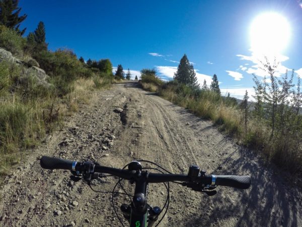
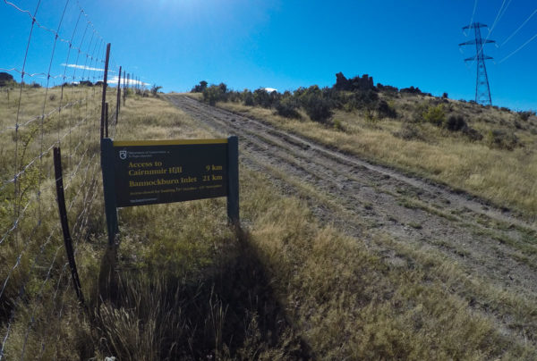
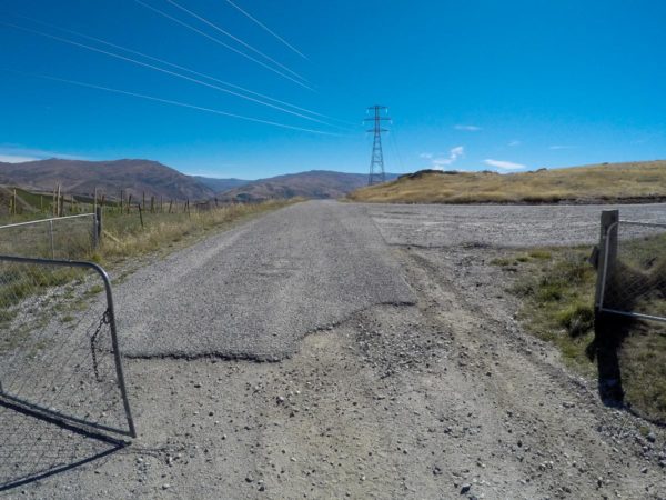
Point 1: Hawksburn Road
From Clyde to the Hawksburn Road turn off is 1.6Km, then another 300m to the car park. From the cafe in Clyde, go over the old bridge, turn left, turning to the right will take you to the Lake Roxburghs dam. Then take the first road on your right 1.6Km.
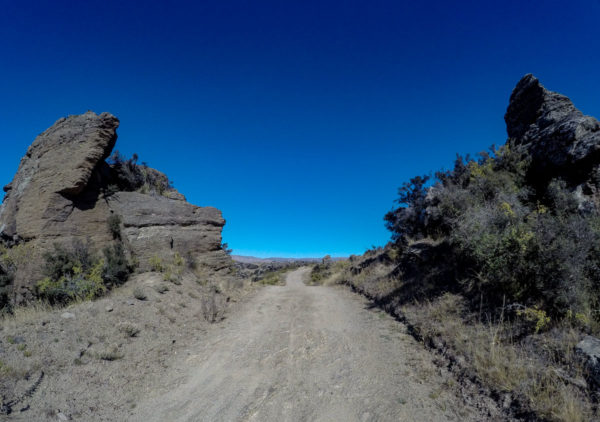
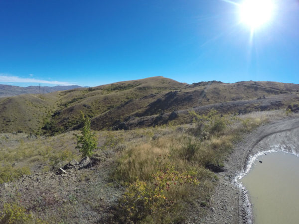
Point 2: At the top
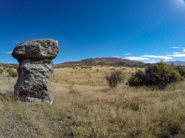
What a climb, I spent more time walking then peddling. There are two lookouts, I like the one at the top, but there is a fantastic view at every corner. When I left home it was fairly cool, five minutes into the climb I was sweating so off come the heavy gear. you might run into motorbikes, there are tracks running off in all direction, at least you can hear them coming.
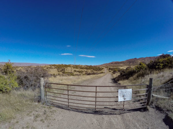

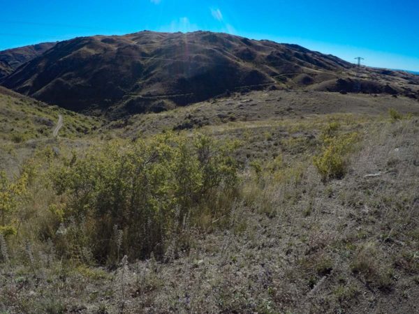
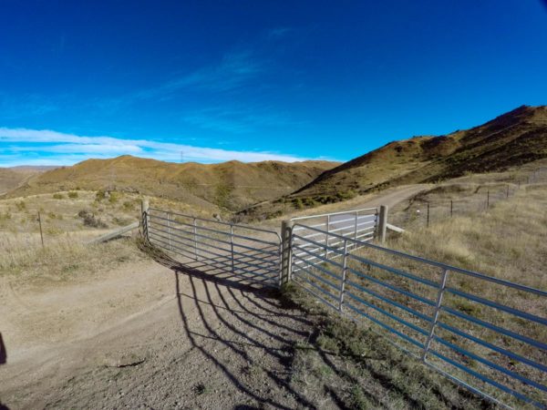
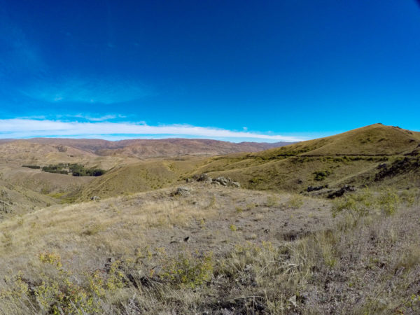
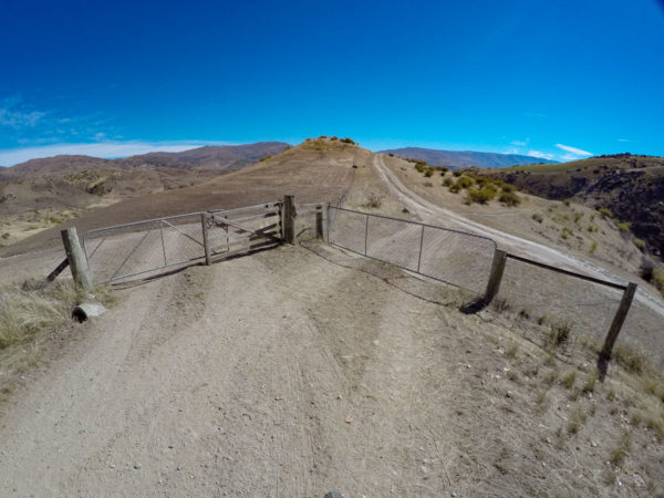
Point 3: Cairnmuir Flats
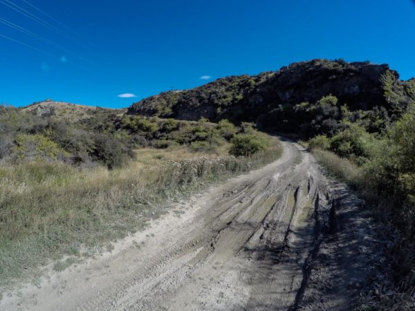
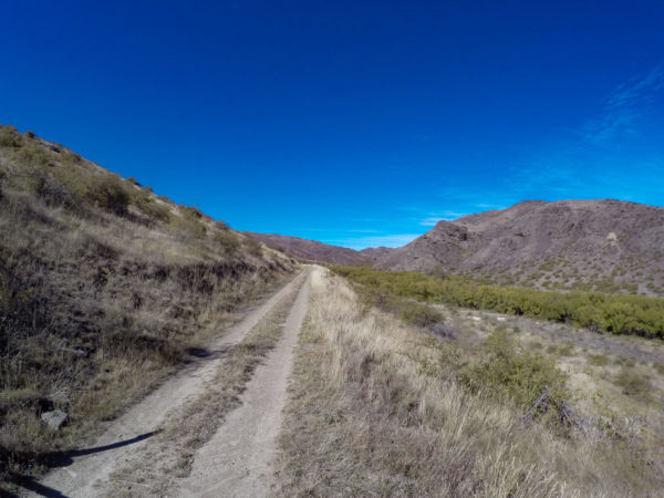
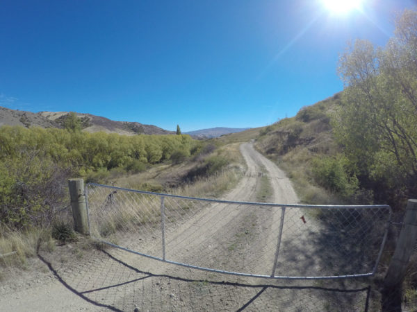
The one and only gate for me to run into was not locked, then to the right of the gate is another gate and a track, this one leads off to Cairnburn Hills and Bannockburn Inlet. Cycling along the Cairnmuir flats was a great change from the hard climb up. There was a cold breeze blowing in from the West, so back on with the coat, I do not want to be here in the winter. I picked a good day for this ride. What a change in the scenery, I could see acres of cultivated land and miles of fence line. I did not expect to see such big areas of flat land up here. Now I want to bike through to Bannockburn. At the creek crossing I called it a day and stopped for lunch then headed back to Clyde.


Point 4: Highest Point, 660m
Highest Point, 660m. From the creek I had a climb up to the next gate, one short section was to steep for me so I walked. When you reach the gate you can look over the gully to the last hill climb for an hour. It was a fast ride down to the creek which had what looked like a splendid mountain creek you can drink out of? I almost made it to the top without walking, so instead of getting back onto my bike, I found a spot out of the strong cool wind and stopped for a hot cup of coffee and a peanut butter and apricot sandwich and enjoy the view of the mountain track I have just crawled over. The phone coverage was very good at 660M so I called in to let Sandra know I was FIT? and well and enjoying the splendid high country air and scenery.
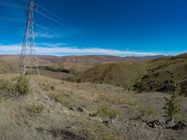
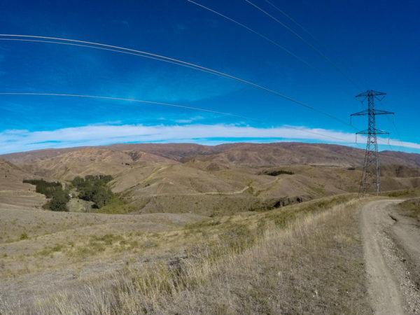

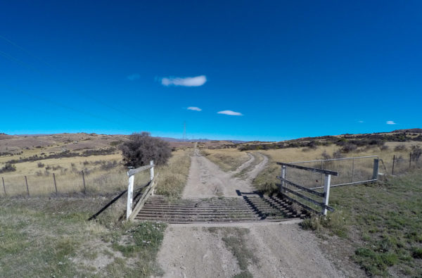
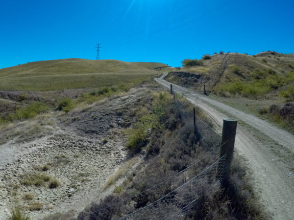
Point 5: Turnoff
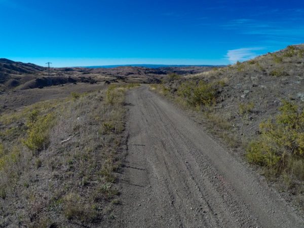
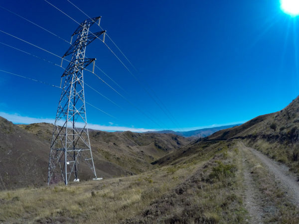
What can I say about the one hour down hill run, fantastic, the track to the turnoff was ok, we had some rain two nights ago so there was a few water holes to work around. The turnoff is at a y junction right under a transmission line, just make sure you keep the transmission lines on your left shoulder, do not ride underneath them and down to Hawksburn Station, 300m away. You can look down onto the Hawksburn Station and see the main dirt road out of the valley.

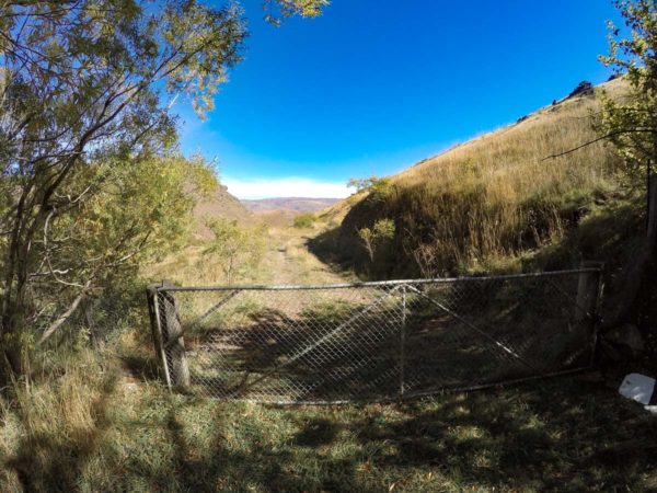
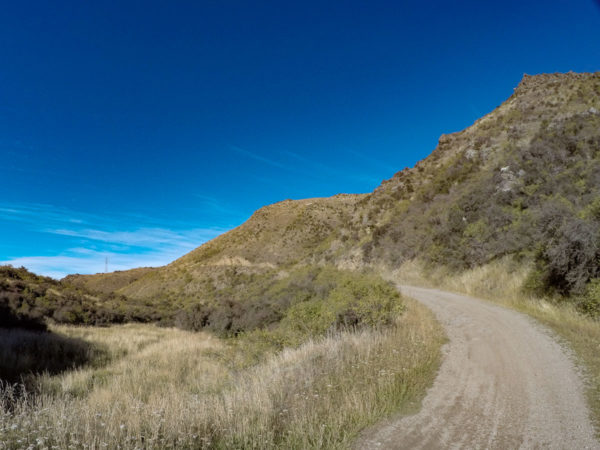
Point 6: Last Climb
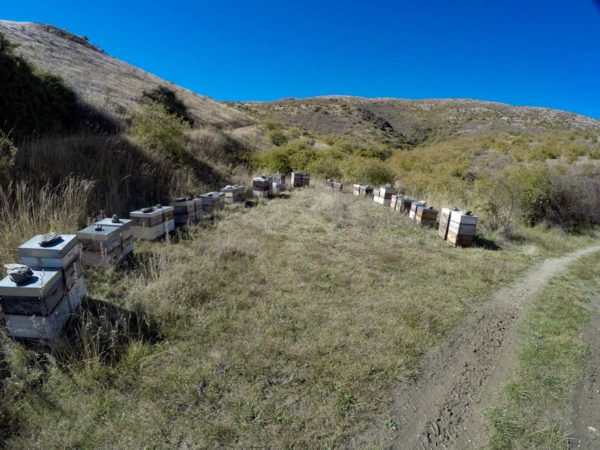
50 minutes to the last climb, you might do it in 30 minutes. The road down the gully is good. After you climb over a gate the road is more like a goat track till you run into the first lot of a dozen bee hives, you will ride within two meters of the bee hives, plus there are about another six lots of hives to ride past, I didn’t get stung, I used to keep bee years ago so I had no issues with them. Now the road improves again because the beekeepers run their truck up and down this road a lot. If you look down into the Bannock Burn creek you will see signs from the gold mining area. The worst part of the ride was the 50 gates to get the bike over, none of the gates were padlocked.
Point 7: Cairnmuir Road
At 1245 Hours it was getting hot even hot getting to the top. The last gate was tricky, which one, left or right, both tracks were well used, to the right was the gate to pick, the left track ran to the woodshed. Then it was a little climb up to the sealed road and a fast ride down to Cairnmuir Road intersection. From here I turned to the left and ran down to the picnic area for my ride back to Clyde, after a flat white of course. What a ride, my legs were like jelly but I am planning to do this ride again. The views were out of this world for a North Islander, what happened to the green grass? and I could not get over how quiet it was up in the Cairnmuir high country, not even one bird song to be heard, only the sound of the cool wind blowing around my ears, fantastic country to be sure to be sure.
