Home » South Island » Otago Region » Alexandra » Mountain Bike Trail – The Roxburgh Gorge Trail
Find out all about the Roxburgh Gorge Trail here. Stunning photos of the Clutha River.
We’ve partnered with Macpac outdoor walking & hiking gear to bring you the very best products designed exclusively for our New Zealand climate. They’ll ship for FREE within NZ on orders over $100 (if under $100 it’s only $5). Worldwide international shipping is available except to the USA. Bulky orders will be $20.

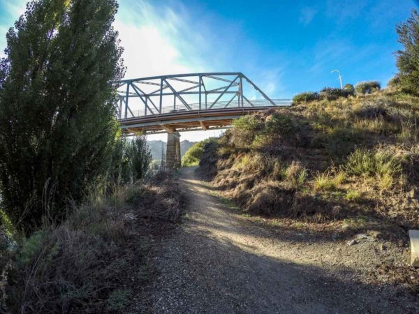

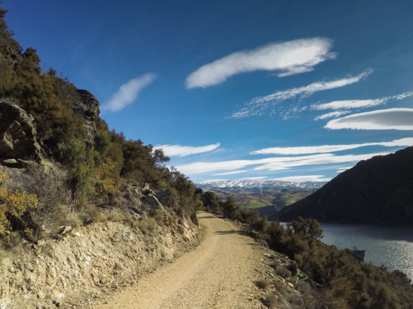
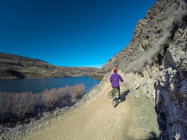
Make your way to the Alexandra Bridge, which is on the main road to Dunedin, Highway 8. Cross over the bridge. At the very end of the bridge and on your right is the start of the Roxburgh Gorge Trail. You must cut down to the river and turn to the right and cycle under the Alexandra Bridge and don’t stop till you run out of track.

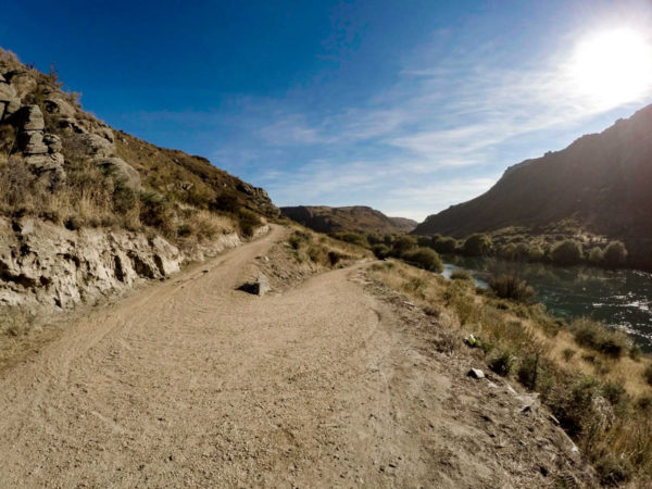
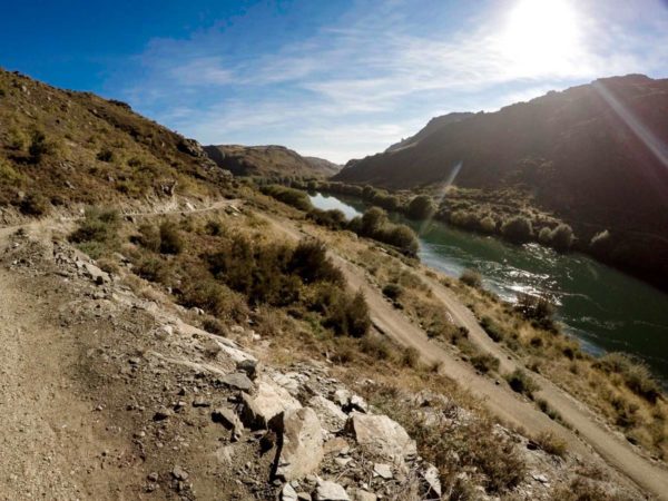
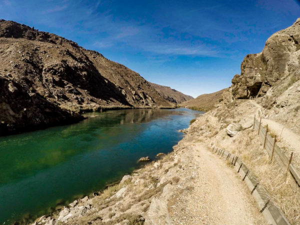
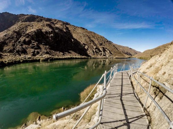
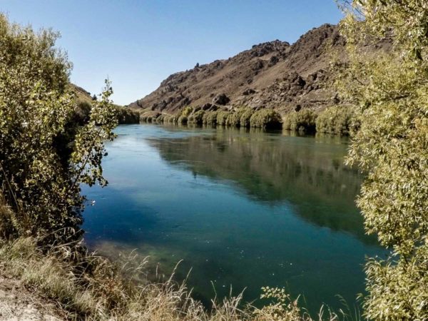
This is where the great views of the Clutha River come into view and you break out into the sun and warm up.
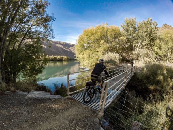
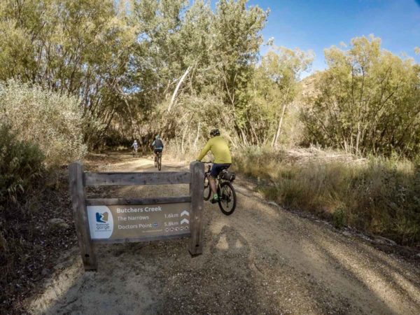
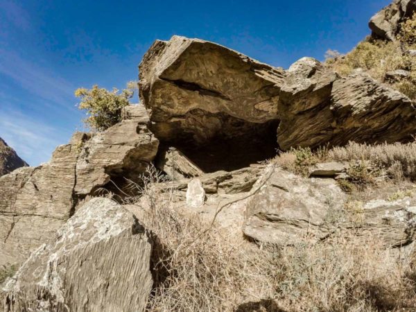
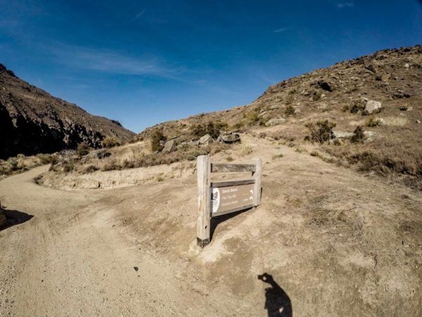
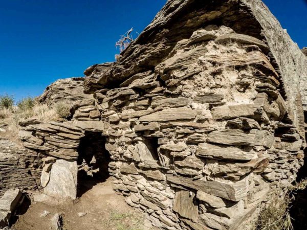
Before the 5Km, you will cycle over the one and only bridge on the track. But keep an eye out for a stone wall on your right just above your head. Stop and go have a look at the miners hut. You will also see a sign for Butchers Creek, take a note of the distance left to peddle.
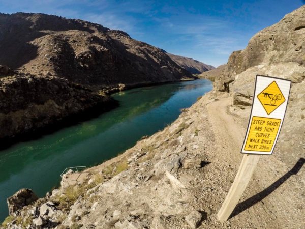
This is the only climb on this half of Roxburgh Gorge Trail that you might change down a gear or two.
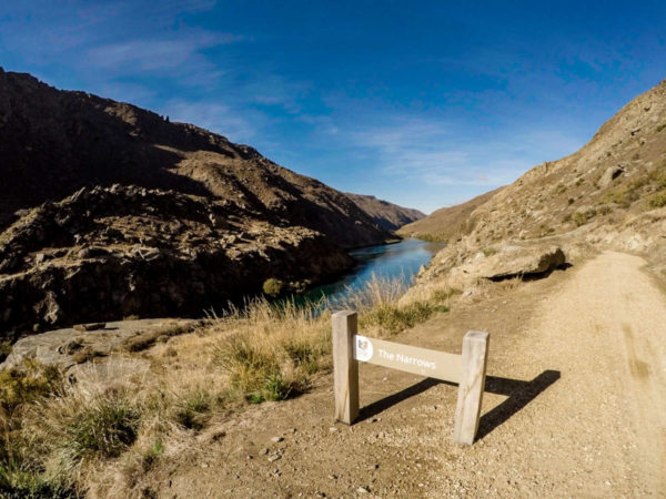

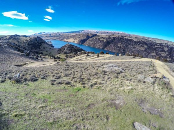
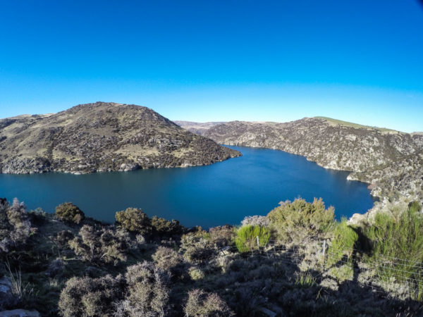
One hour for us old fellows and 6 Km into the ride you should arrive at the Narrows. Don’t worry about the caution sign, just take a look down to the river and you will see the track below you. Didn’t they make a good job of this section of track.
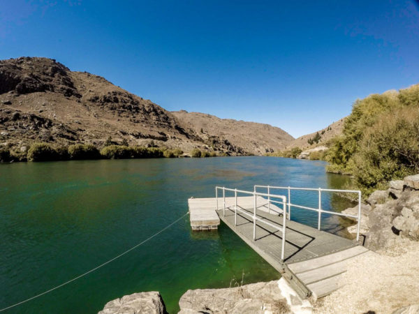
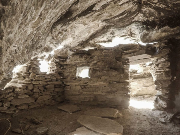

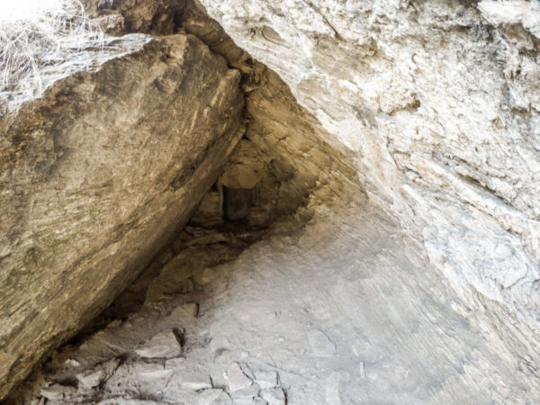
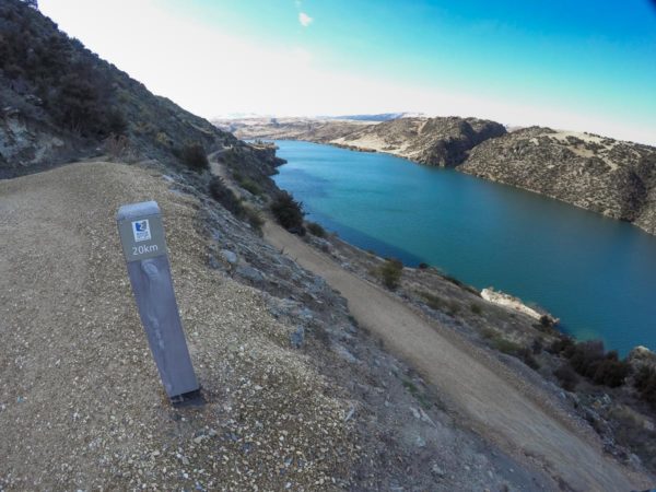
The next point of interest is the turnoff to Butchers Dam and a 400m climb. From here you can just make out the end of the ride and if you are lucky, the jet boat might be in view. The boat ramp is 200m before the end of the track and the toilet. At the end of the track, walk over to the river by the rock formation and look over the edge, there is a miner’s hut under your feet, you could move in after a little spring cleaning and dusting.


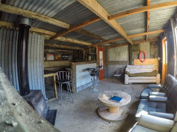
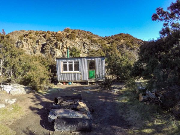
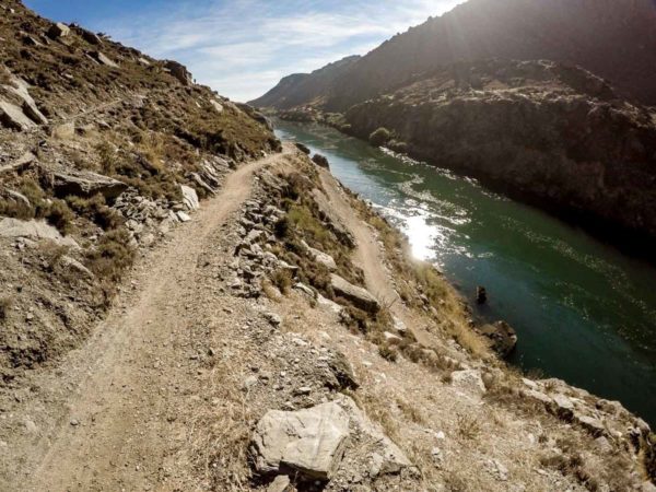
From doctors point you need to book and pay the boatman $99 each to get to Shingle Creek. But, the boat man would not do the run with only two passengers, so what we did is drive to Roxburgh Village and do a return trip to Shingle Creek on a very cool June morning. The very interesting ride took us 1 Hour 20 minutes to cover the 11Km. From Shingle Creek to the Roxburgh Dam carpark is 70% uphill with the toughest climb of 200 Mt, 500 Mt from the carpark, but we did have a cold tailwind to push us along. The track was very good, but we did come across a rock slide on the track but luckily for us it was not on a sharp corner and we had enough time to pull up. What was in abundance on this ride were healthy fat Rabbits just waiting for the pot, we saw not just a couple but close to 100. At shingle Creek there was a tidy little hut, with a fireplace to get out of the rough weather if need be. I would hit the trail again, but this time I would wait till next summer when it is warmer.
