Orewa Estuary Path is just north of Auckland and perfect for anyone looking to escape the busy city for a short walk
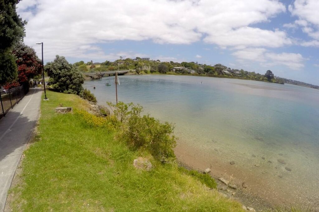
Unfortunately, the second time I walked around the Orewa Estuary, the tide couldn’t have been any lower. Being an estuary meant I was viewing mud flats instead of pretty ocean views. However, it’s still a great walk on an excellent wide path, and I enjoyed it. Fortunately, I added the photos from my first walk when the tide was in, and the sun was out, see below.
I took a slightly different route which was 8 km instead of the 7.6 km the Auckland council map shows of the Orewa Estuary Path shows on their website. In my opinion, my route was better!
If you still need to fill your day, you could stop off at Long Bay Regional Park and do the coastal walk there or one of the shorter walks. It’s on the way to Orewa.
Also out this way on the alternative route to Orewa are two amazing fun activities for the whole family. Snowplanet: Save $37 off a ticket for a 2 hour Pass, including equipment & lift pass. You’ll also drive close by Auckland Adventure Park where you can get 65% off and save $42 on an unlimited ride pass. Great fun for the whole family.
Start of the Orewa Estuary Path
The start of the walk is easy to find with a nice big free car park located right next to the path. Turn left directly at the bottom of the bridge just before you get to Orewa town. There is a good set of toilets and a water fountain here too.
My comments and description of the walk
You’ll be sharing the path with a number of cyclists and residents from surrounding suburbs, along with their dogs and kids. It’s a very family friendly walk.
The walk itself isn’t particularly long, but combine it with a swim in at the nearby Ōrewa beach, enjoy the shops, have lunch, and you’ve got a full day ahead of you!
The walk is almost entirely along the water’s edge. It winds its way through parks, residential areas and along the footpath next to the road on occasion. There are some stunning houses, gardens, mangroves and farmland to admire. For nature lovers, you will see kauri, pohutukawa, cabbage, flax, and plenty of wetland birdlife, including lots of noise Tui.
The recommended route is anti-clockwise, starting at the Western Reserve. You’ll find the Estuary Arts Centre here, which is a great way to start or end the walk.
The area was a significant food gathering place for Māori. As a tribute to this history, you will find Māori carvings on benches along the path. These also make wonderful picnic spots with the other ones along the way.
This walk is best done at high tide.
Enojy this 3d video of my walk around Te Ara Tahuna - Ōrewa Estuary Path

Quick Facts about this walk
- Location: Orewa, Auckland, North Island, New Zealand
- Time needed: 1.5 hour walk
- Distance: 8 km
- Difficulty: Very easy
- Bikes allowed: Yes
- Wheelchair friendly – Yes, the full path is built for wheelchairs, bikers & walkers.
- Route: Loop
- Elevation: Mostly flat with one very small hill
- Wet Feet: No
- Toilets: There are toilets at Western Reserve and Millwater (about halfway).
- Dogs: Yes, sometimes on and sometimes off leash.
- Mobile Coverage: Yes, very good
Summary points about this walk
Walk Highlights
Track Quality
Hazards
Transport
Water
Driving Instructions
Shops & Restaurants Nearby
Area & Trail History
Te Ara Tahuna - Ōrewa Estuary Path Map Location
Photo highlights I've taken on this walk
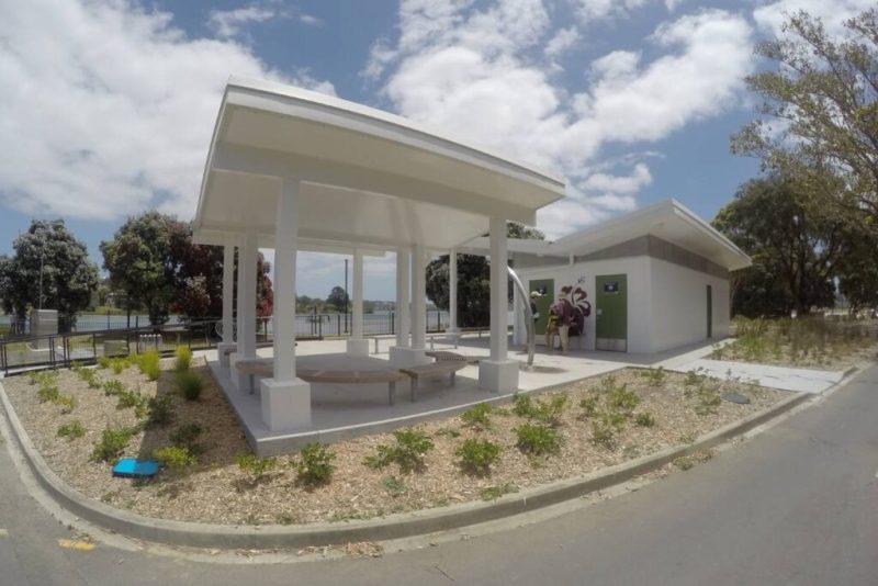
Toilet block at the start of the Te Ara Tahuna - Ōrewa Estuary Path
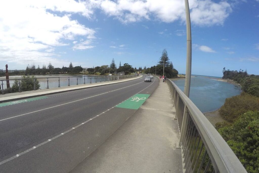
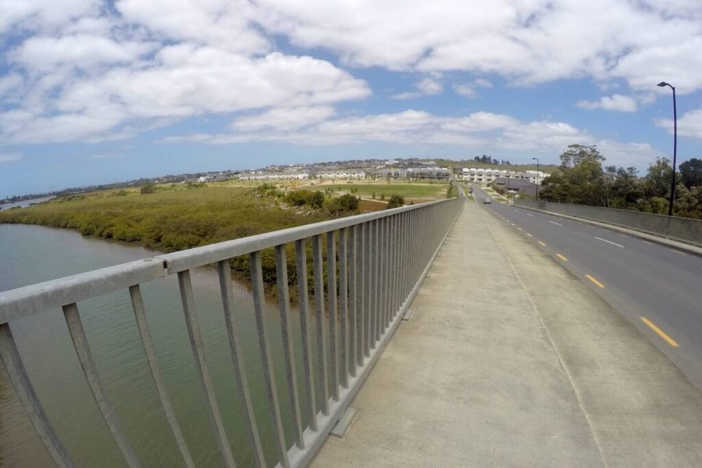
Looking back across the highway bridge at the start of the Te Ara Tahuna - Ōrewa Estuary Path
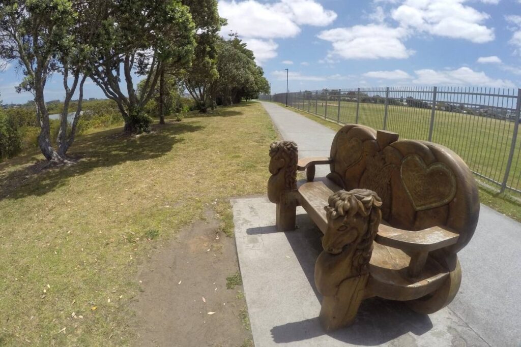
One of the pretty carved viewing seats along the Te Ara Tahuna - Ōrewa Estuary Path
View looking back across the second bridge crossing on the Te Ara Tahuna - Ōrewa Estuary Path
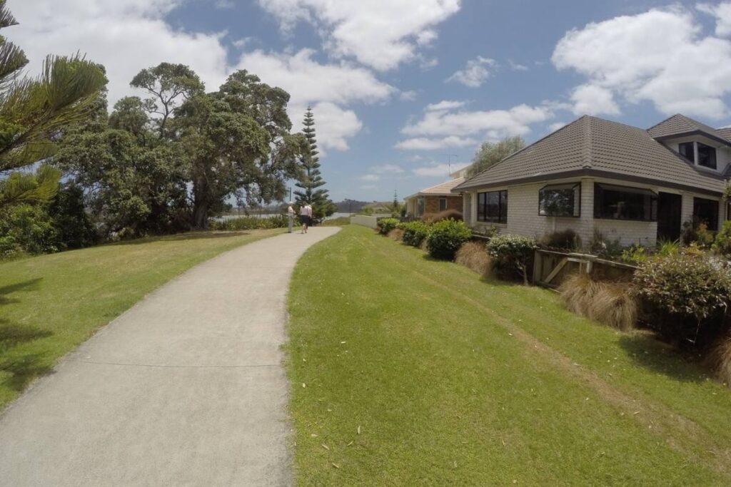
Typical path view on the Te Ara Tahuna - Ōrewa Estuary Path
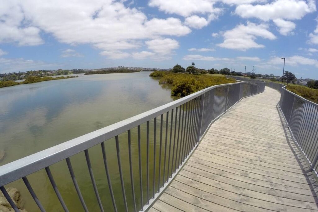
Lovely boardwalk section on the Te Ara Tahuna - Ōrewa Estuary Path