The Tapapakanga Regional Park Walk is a 6k easy walk that will take you around 2 hours to complete.
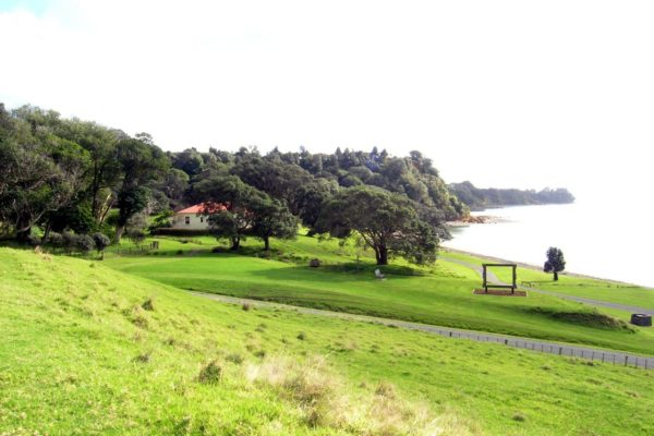
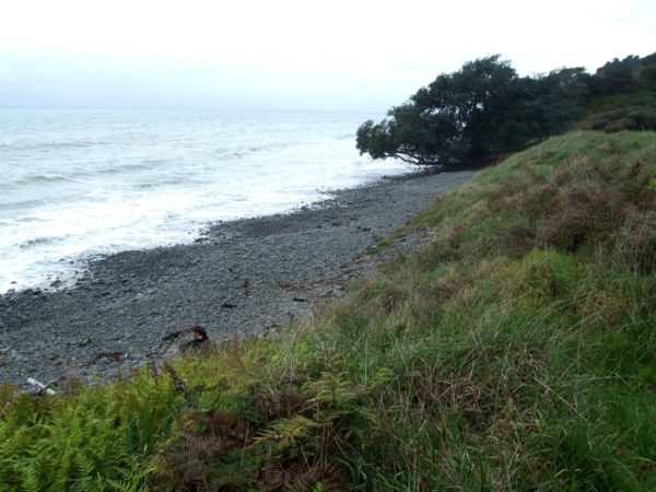
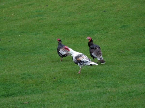
Tapapakanga Bay is the main highlight, it is a very sheltered bay and ideal for swimming and very good fishing. The beach is made up of more pebbles then sand. In 1990 the properly was sold to the Auckland Regional council. In 1995, the park was opened up to the public. No dogs allow because of the farm stock. Toilets at the home site and 2.4km at the beach camp site
Quick Facts about this walk
- Location: North Island NZ
- Distance: 6 km
- Time needed: 2 Hour
- Difficulty: Easy
- Wheelchair Access: No
- Route: Round Trip
- Elevation: 128m
- Wet Feet: Yes
- Toilets: Yes
- Dogs: No
- Mobile Coverage: Yes
- Last Updated: November, 2019
We’ve partnered with Macpac outdoor walking & hiking gear to bring you the very best products designed exclusively for our New Zealand climate. They’ll ship for FREE within NZ on orders over $100 (if under $100 it’s only $5). Worldwide international shipping is available except to the USA. Bulky orders will be $20.
Summary points about this walk
Walk Highlights
Track Quality
Hazards
Transport
Water
Driving Instructions
Shops & Restaurants Nearby
Area & Trail History
Map Location
Points of interest along the walk
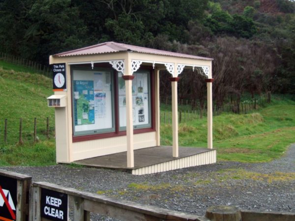
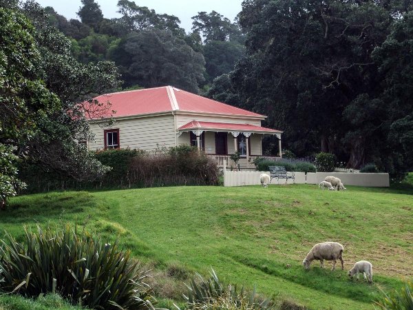
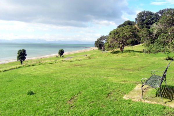
Point 1: Tapapakanga Homestead
There is plenty of room in the car park, the toilets and the information board is right in front of you, and the Homestead is just 50 Mt away to your right
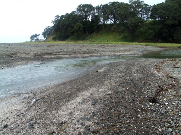
Point 2: Creek crossing
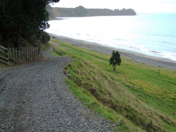
From the carpark turn left and walk along the beach.
If the tide is out will get your feet wet.

Point 3: Out to the point
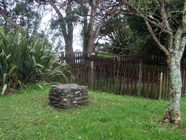
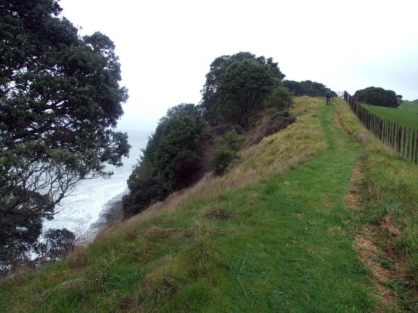
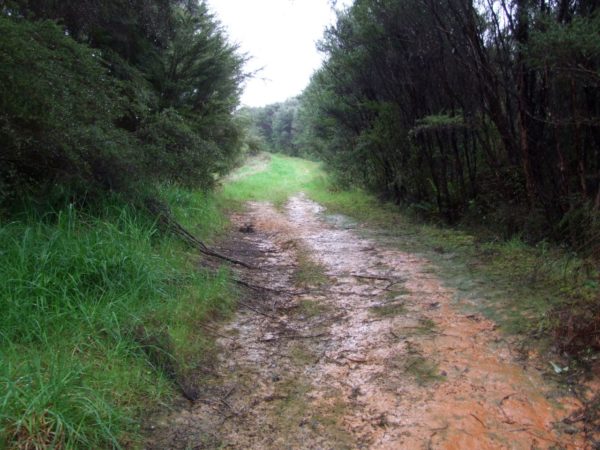
From the creek to the next turn off is 16 Minutes. Just before the turn off is the old grave site on your right.Walk through the gate and follow the ridge along the coast line. The walk along the top can be a little over grown in some places, and you might think you’re lost but keep the fence to your right and the odd glimpse of the ocean to your left. You will see a marker or two with a red top along this walk. The view along the top is not that fantastic. There are markers to follow, just walk over the top of the hill. You can walk out to the point from here if you have the time, 15 minutes.
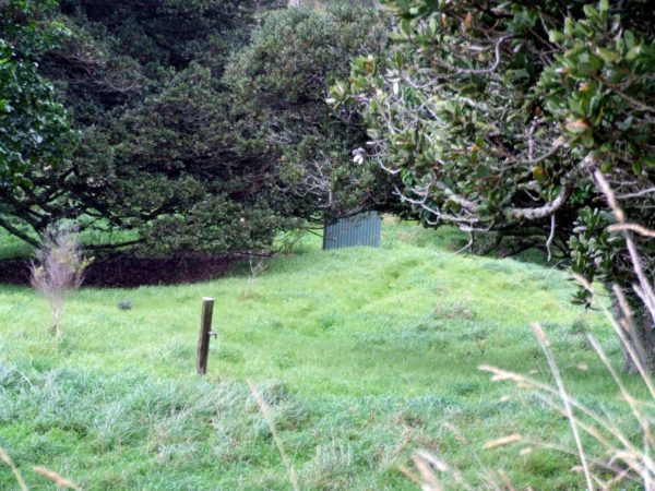
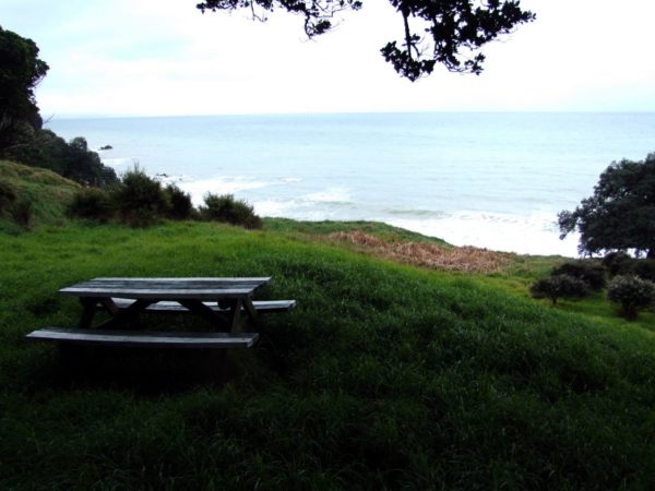
Point 4: Camp site
There is a water tap there but boil the water. As for the long drop we gave it a wide berth. there is table and chairs set under the trees and good flat ground for you to set up your tent. The site is set in a hollow so you will be out off the wind.
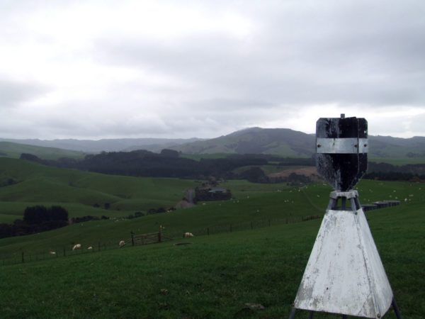
Point 5: the trig
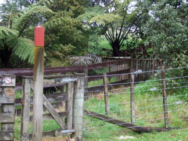
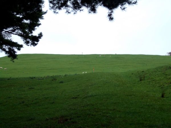
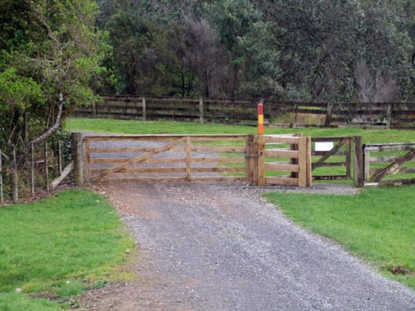
The 15 minute climb to the top is by a dirt track behind and to the right of the long drop. Half way to the top you will have to go through a gate, now you should see the trig at the top of the ridge. There might be stock in the paddocks from here on so make sure the gate is properly secured any other gates you come across please leave them as you found then, open or closed.

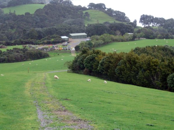
Point 6: Farm buildings
Now it is back to the car. You can see the farm building over to the right, this is where you are heading.
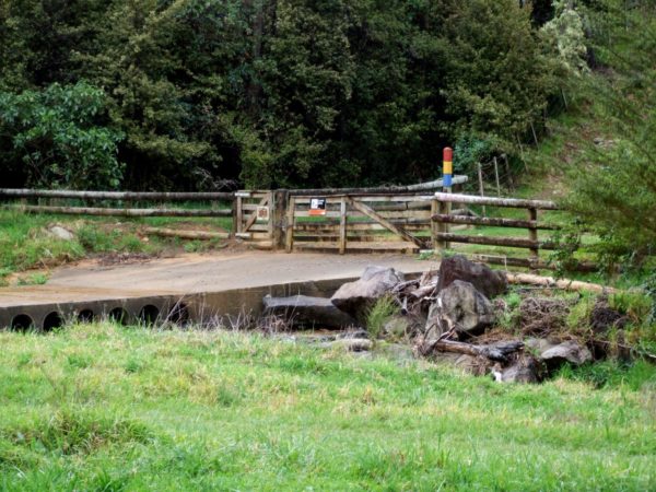
Point 7: Causeway
When you walk past the farm buildings there is another gate to go through.
Now 5 minutes down the road is a fork in the track.
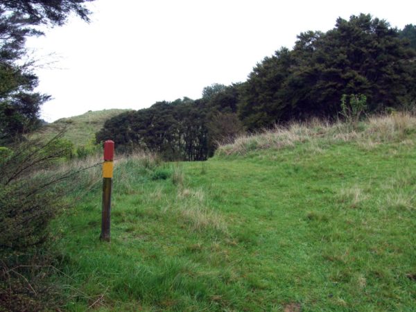
Look right and across the creek to the next gate with the red marker post.
You need to cross the causeway go through the gate and follow the track up a small hill and back down to the beach where you started from, Just 10 minutes away.
