Home » South Island » Canterbury Region » Christchurch » Lyttelton » The Bridle Path
The track is very good. On a fine day the views from the top of the Bridle Path are amazing. When the early settlers arrived in Lyttelton harbour in 1850, they used horse and donkey to climb over the 386m Port Hill, Bridle Path to Christchurch to start a new life, or take a 13K boat ride around the coast.
We’ve partnered with Macpac outdoor walking & hiking gear to bring you the very best products designed exclusively for our New Zealand climate. They’ll ship for FREE within NZ on orders over $100 (if under $100 it’s only $5). Worldwide international shipping is available except to the USA. Bulky orders will be $20.

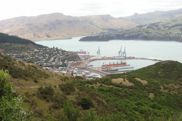
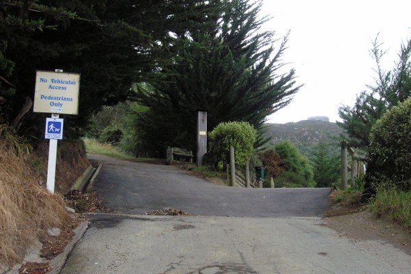
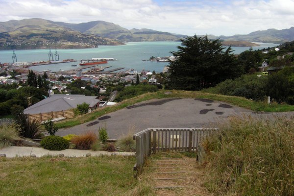
From the main st in Lyttelton, walk up London St to Coleridge and Hawkhurst Rd. Walk another 20m and The Bridle Path is on your left. You now have 600m to go. At the start of the Bridle Path there is a brief information board for you to read. And a wooden seat for you to sit down and rest the legs. The higher up the mountain you climb, the views of the harbour improve. Especially on a fine day. But it can also be very cold and wet place to be.
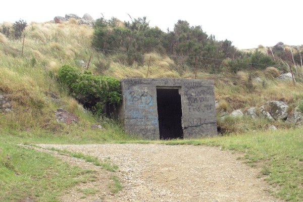
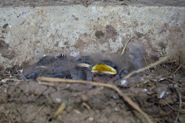
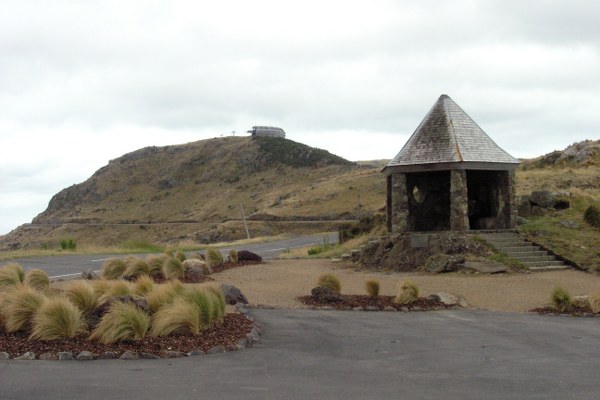
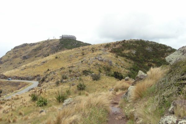
Half way to the top there is a spot to sit down and enjoy the fantastic views of Lyttelton harbour. But on a cloudy day it can be very cold. The old concrete building on the walk is just minutes from the top. We were lucky to observe a nest of baby birds sheltering in one corner of the building. At the top there is a shelter for you to get out of the bitter winds and rain, if need be. Views of Lyttelton harbour and Christchurch can be quite stunning as well as the gondola. The only way to the gondola is by walking the track. There is no road or foot path for you to follow. The track starts from behind the shelter, just follow the markers along the top of the ridge.
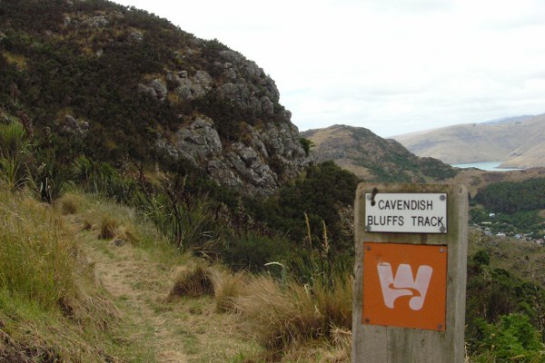
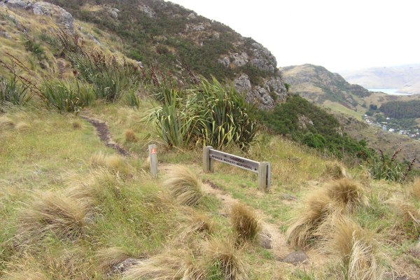
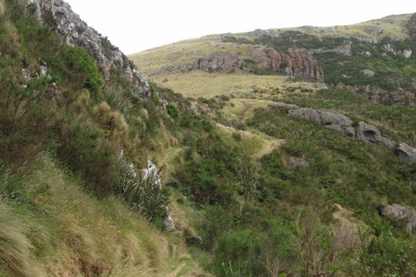
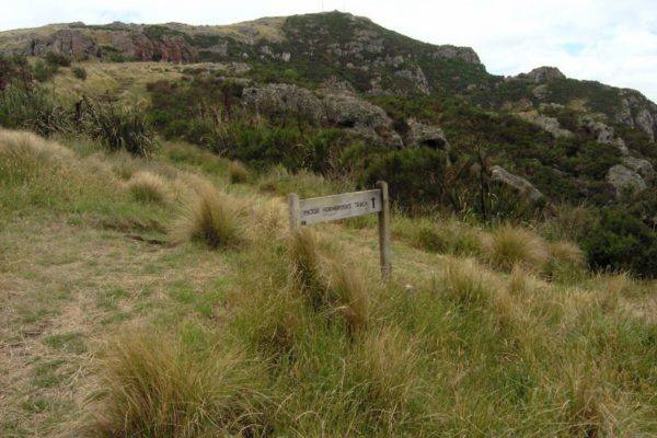
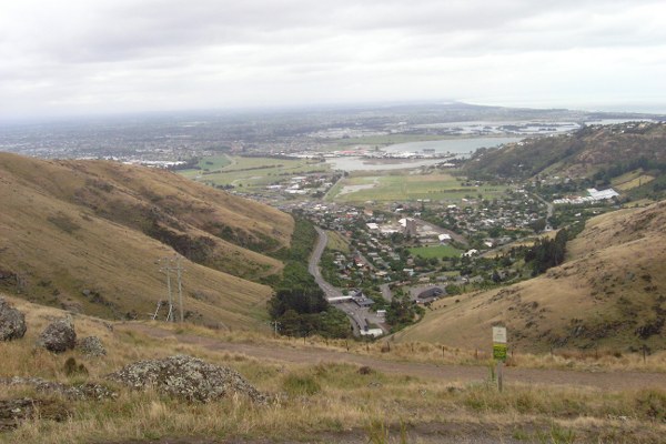
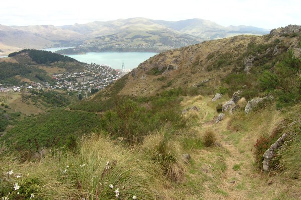
The track starts from behind the shelter just follow the markers along the top of the ridge. 4 minutes from the shelter should see you at the turn off to the Cavendish Track. The turn off to the left is an uphill climb to the gondola. The walk around the side of the bluff is through small stands of bush, which gives you protection from the chilling winds. At the next turn off if you walk straight ahead, it will take you up to the Summit Road and the Gondola. You need to turn to the right to get on to the downhill track. This will lead you to Hornbrooks Track. You can see the track running out down the valley to your right.

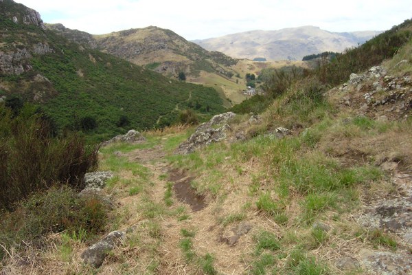
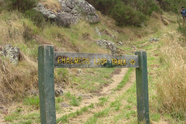
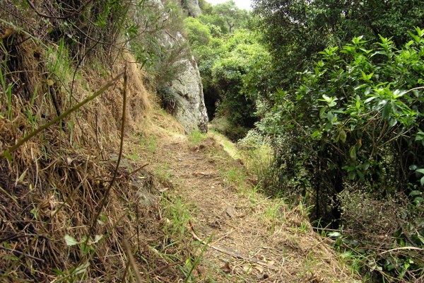
You can’t go wrong from here on, just follow the dirt track down to the built up area. Give the Chalmers Loop Track a miss. The quickest way back to Lyttelton is to turn left, walk the 30m to Cornwall Rd then turn right. Then it’s a 5 minute downhill walk into Lyttelton and a flat white coffee.
