Mt Te Aroha being the highest point on the Kaimai Rangers and a very old volcano stands 952 meters above the small country village of Te Aroha.
Quick Facts about this walk
- Location: North Island NZ
- Distance: 32 kms
- Time needed: Two days
- Difficulty: Medium
- Wheelchair Access: No
- Route: One way
- Elevation: 740m
- Wet Feet: Yes
- Toilets: Yes
- Dogs: Yes
- Mobile Coverage: Yes
- Last Updated: November, 2019
We’ve partnered with Macpac outdoor walking & hiking gear to bring you the very best products designed exclusively for our New Zealand climate. They’ll ship for FREE within NZ on orders over $100 (if under $100 it’s only $5). Worldwide international shipping is available except to the USA. Bulky orders will be $20.
Summary points about this walk
Walk Highlights
Track Quality
Hazards
Transport
Water
Driving Instructions
Shops & Restaurants Nearby
Area & Trail History
Map Location
Points of interest along the walk
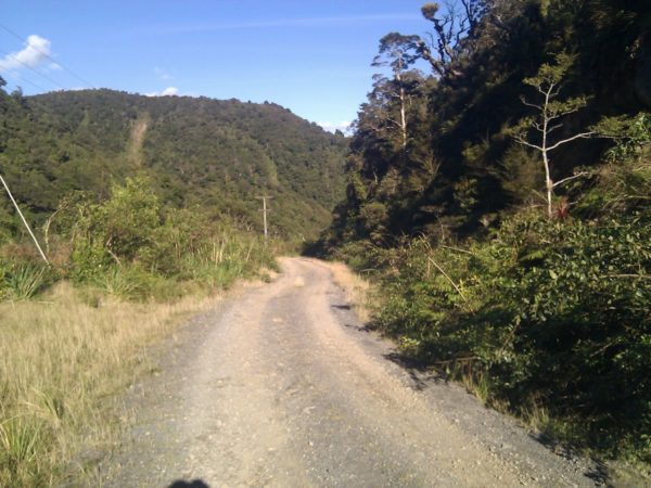
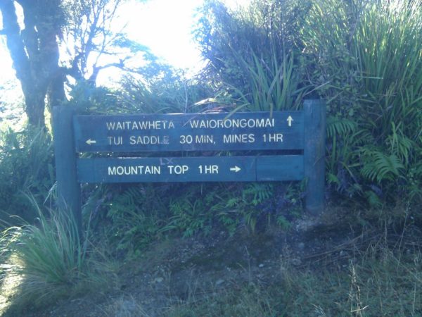
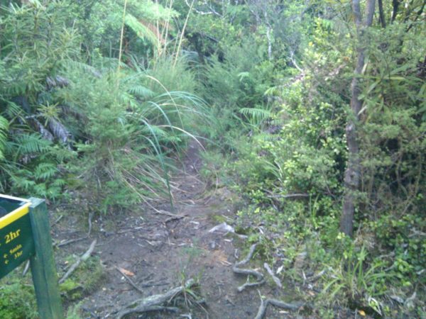
Point 1: Waitawheta Track Start
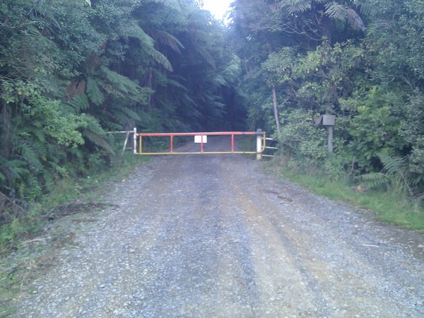
Mt Te Aroha. Driving south. In Te Aroha from Paeroa, Tui Road is the third road on your left. The Tui Gold mine was being cleaned up when I walk passed. From the gate to Waitawheta Hut took me 5 hours of walking time. I left the gate at 0835h and arrived at Waitawheta Hut 1445H. I stooped to talk to the boys cutting in the new track and for lunch. The Waitawheta Track is on a side track on your left, it was the only side track on your left. The walk up the road took me one hour, which was a lot better then climbing 500 Mt up through a rough bush track plus you get great views looking out over to Hamilton.
Point 2: Pukekohatu point
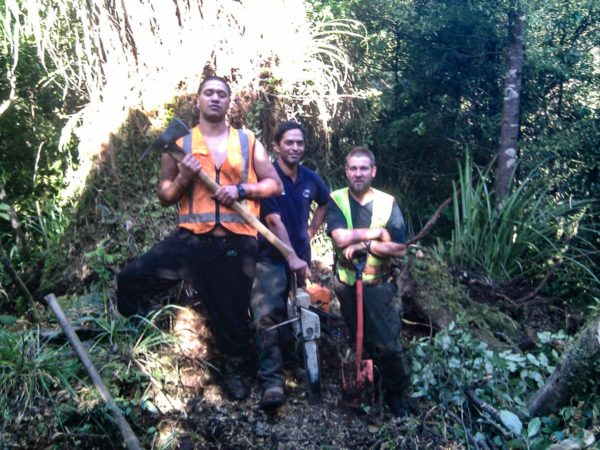
The track in was one of the old gold miners track in to the top end of Waiorongomai valley. 30 minutes into the walk you walk on to the turn off to Mangakino track. So turn right and walk for five minutes to the next turnoff, this is the last turnoff for the day. Turn left and off you go to Waitawheta Hut this is were I met up with the boys, Ron August, Jim August and Neville Hannah cutting in a new section of track down to Waitawheta hut, 10 out of 10 for there hard work. Fifteen minutes and another 30m climb will see you at the highest point 790m. Now it is down hill to Waitawheta Hut.
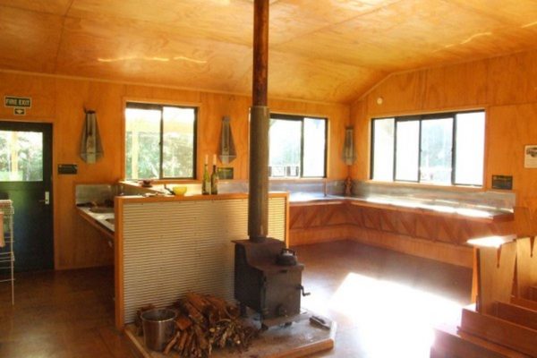
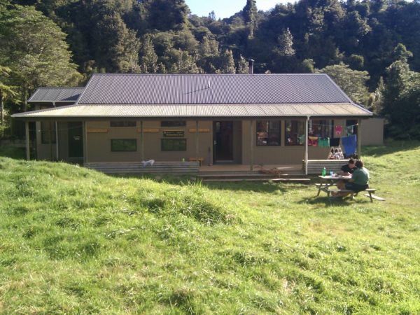
Point 3: Waitawheta Hut
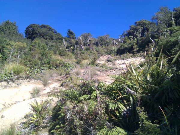
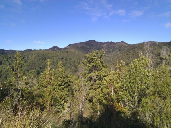
I picked a good day to walk along the ridge from Pukekohatu trig, two weeks of no rain made it walk able, other wise I would still be there today stuck in mud up to my knees. The track starts to improve when you pass the old turn off to the North South Track, which is around ten minutes from Pukekohatu trig. The new track will be finished by now so you will have a easy walk around Pukekohatu trig. You still might be able to look down in to the Historic gold mining Waiorongomai Valley and out into the mighty Waikato. You will come to a good size slip were you can get a good view looking East along the Kaimai ranges.
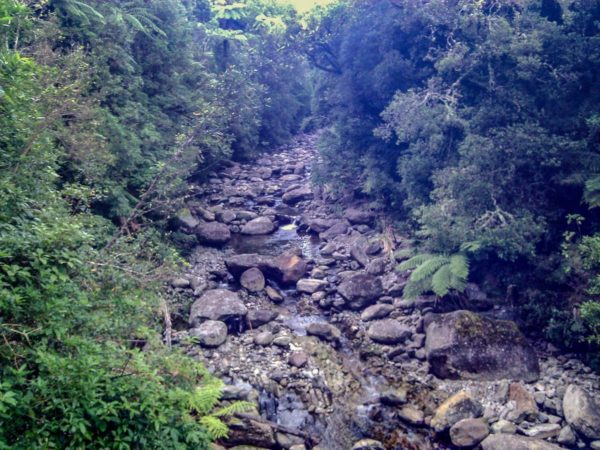
The next 2h 30 minutes is spent walking around the sides of the main Kaimai Range on a very good track plus you are back into some decent native bush. The only place to top up with water after leaving Mt Aroha is one hours time. If this creek is dry there are a number of other creeks along the way. When you hit the old tram tracks you are only 20 minutes from Waitawheta Hut and a hot coffee. If you have time, take a walk around Waitawheta Hut you will see the remains of the old Waitawheta saw mill ect, it is amazing who you meet on the tracks. I bumped into a young couple walking up from Waitawheta Hut all they had was two very small day packs, so I just had to ask what were they carrying. They had one sleeping bag, one empty water bottle, and some clothes. The guy asked me where can he top up with water. I told him at the cafe in Te Aroha, he was not happy with my answer. I found out later at Waitawheta Hut that they walked in at night with plastic shopping bags full of food hanging off there small day packs, which they set about eating that night. Well, all I can say is good luck to them.
A fit person could do the walk in 8 hours without stopping. I would have run the track when I was in my thirty’s but now at 60 years young I take my coffee plunger, fruit cake and my time to enjoy the bush.


Point 4: The Last Climb
Today is a easy Three hour 20 minute walk. One hours 40 minutes up to the ridge and almost the same time out to the road end.
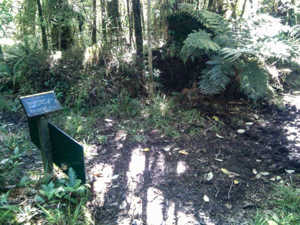
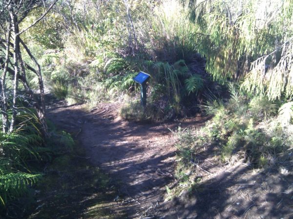
40 minutes into the walk you will see a post minis the sign on your right, This is a 10 minute walk up to the old Kauri dam, leave your pack on the main track,
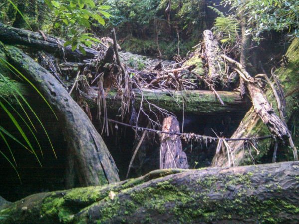
Back on the main track, the climb up to the ridge is a little rough. there has been a few trees blown over by strong winds rushing up the valley and every tree has very kindly falling over the track. the creek crossing just past the dam could be a problem If there has been heavy rain, you might have to try and cross down by the main river.
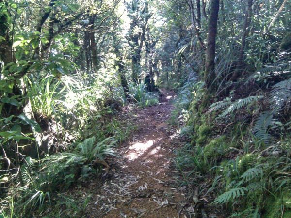
Take a look at the photo. On the ridge top the track is easy to follow, turn right at the Cashmores Clearing sign, with in minutes you will pass the turnoff on your right to Cashmores Clearing.
I was going to walk up to Cashmores Clearing for a look see, but after 15 minutes I gave up, I didn’t fancy having my poor old legs and arms cut to pieces so I gave it a miss.


Point 5: Wharawhara Rd End
The last leg is down hill to Wharawhara Rd and until you drop down into Wharawhara stream you will get great views of Tauranga.
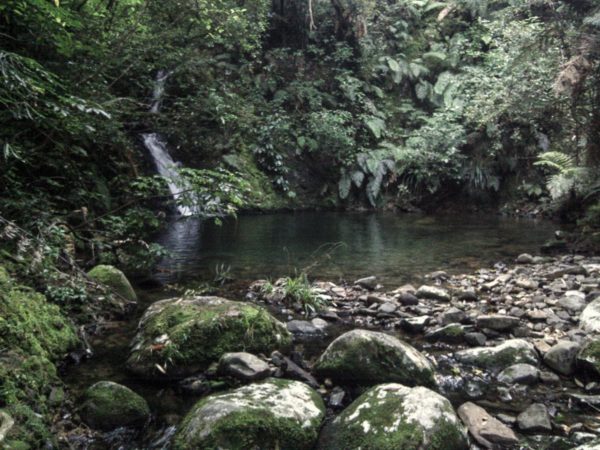
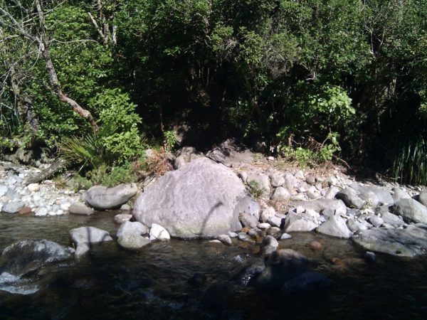
It is a little steep in places as you descend down to Wharawhara stream, then you have five creek crossing which I crossed with out getting my feet wet but as usual there is always one creek to spoil your fantastic day.
The weir was only ankle deep but to wide for me to jump across, at least the weir is made of concrete and easy on my cold feet.
once across the weir it is a easy 300Mt walk to Wharawhara Rd. Five minutes before the weir you will pas the turnoff to Te Rereatukaiha Hut, a 2 Hour 30 minute walk / climb.
You can then walk out to Thompson Rd a hard 9 hours walk. Or Medium 5 hours to hot springs Rd
