1820s Sealers were the first to visited Port Underwood then around about 1826 and they were followed immediately by the whaling ships
Quick Facts about this walk
- Location: South Island NZ
- Distance: 74 kms
- Time needed: 5 Hours
- Difficulty: Very Easy
- Wheelchair Access: No
- Route: Round Trip
- Elevation: 400m
- Wet Feet: No
- Toilets: Yes
- Dogs: No
- Mobile Coverage: No
- Last Updated: November, 2019
Summary points about this walk
Walk Highlights
Track Quality
Hazards
Transport
Water
Driving Instructions
Shops & Restaurants Nearby
Area & Trail History
Map Location
Points of interest along the walk
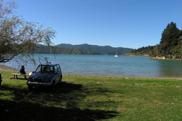

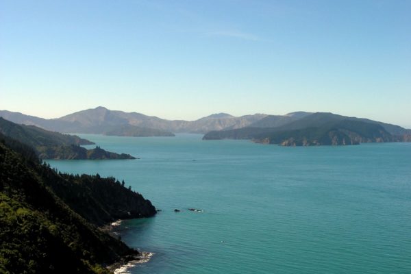
Point 1: Port Underwood
You will wind your way around the coast to Ahuriri bay, 10.4km
From here it is a slow climb to the top of Robertson Ridge. Stop at the top, for fantastic views of port Underwood
Down the other side, Watch out for logging trucks. Don’t cut the corners.
18.1km
At the bottom of the hill, take the turn off to the left, then the first to the right, this road will take you down to the beach. Were you can have lunch and a swim?
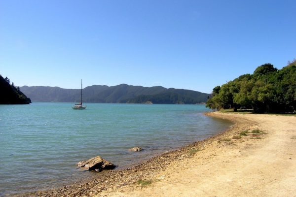

Point 2: Ocean Bay
25.8km Ocean Bay
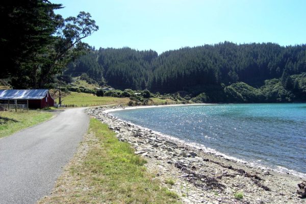
Just be for Ocean Bay is Tom Canes Bay, stop there for toilets.
There was a wailing station here years ago. You will drive past the rusting away blubber pot on the right hand side of the road.
We stooped for a walk at each Bay, It was so quite and the smell of the sea was so relaxing.
Point 3: Robin Hood Bay
33km Robin Hood Bay
As you hit the beach front, the old house to the right, is very old. Read the board and go through the gate and have a look.
The camp site and toilet is 3 Minutes down the Rd on the right, Just before the climb up the hill.
Point 4: The Track
37km
On the left hand side of the road, right on the Road is a track running out to the coast, worth the 10 Minute walk.
You could get dropped off here and walk down to Whites Bay,
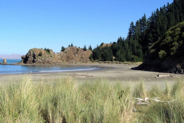
Point 5: Whites Bay
39km
the turn off to Whites Bay.
A very popular place for weekenders.
Plenty of places to camp.
The toilets are in the Surf life saving Club building.
Back on to the sealed Rd after leaving Whites Bay.
41.5 km
there is a great place to pull over, get out of the car and look south down the coast for miles.
53km
The main Rd back to Picton.