The park is made up of 288 hectares with well over 100Km of walkways and mountain bike tracks
With its well-maintained trails, crafted by experts, and excellent volcanic soil that ensures excellent drainage, the Redwoods offers an unparalleled riding experience. The varied topography adds to the thrill, taking you through native and exotic forests. I loved this bike ride. I’ve also done the Redwoods Grove walk.
SAVE 51% on last-minute tickets to Waimangu Volcanic Valley – Walk and Boat Cruise
Quick Facts about this walk
- Location: Rotorua, North Island NZ
- Distance: 18 km
- Time needed: 2 Hours 15 Minutes
- Difficulty: Medium
- Wheelchair Access: No
- Route: Round Trip
- Elevation: 371m
- Wet Feet: No
- Toilets: Yes, at the info centre
- Dogs: No
- Mobile Coverage: Yes
Summary points about this walk
Biking Highlights
Track Quality
Hazards
Transport
Water
Shops & Restaurants Nearby
Area & Trail History
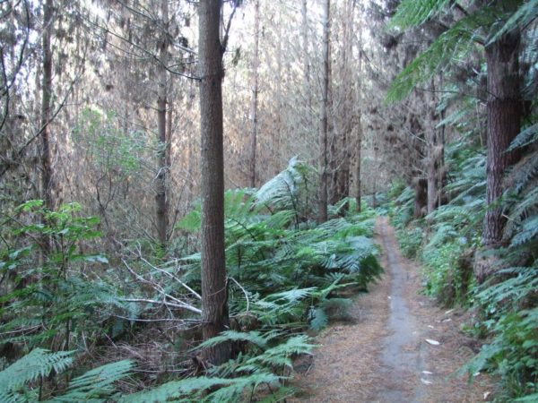
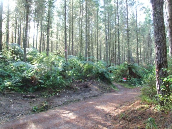
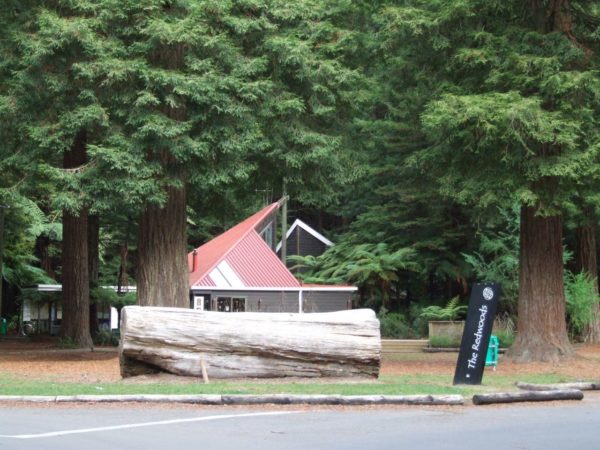
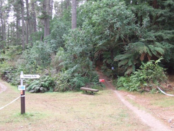
Spanning 288 hectares, this scenic area offers over 100km of walking tracks. One of the big highlight is the path winding through the Californian Redwoods (Sequoia Sempervirens). Planted in 1901, these majestic giants soar up to 60 meters tall and reach a staggering 163 cm in diameter.
The Grove stands as a tribute to New Zealand Forest Service personnel who lost their lives in World War I and II. Beyond the Redwoods, discover a variety of trees including Patula Pine, Tasmanian Blackwood, Douglas Fir, and many more. Keep an eye out for native birdlife like Tomtits, Fantails, and Waxeyes, adding to the peaceful atmosphere.
Map Location
Points of interest along the walk

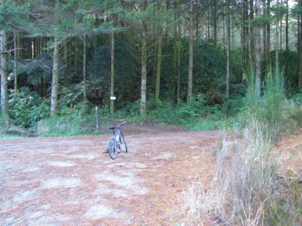
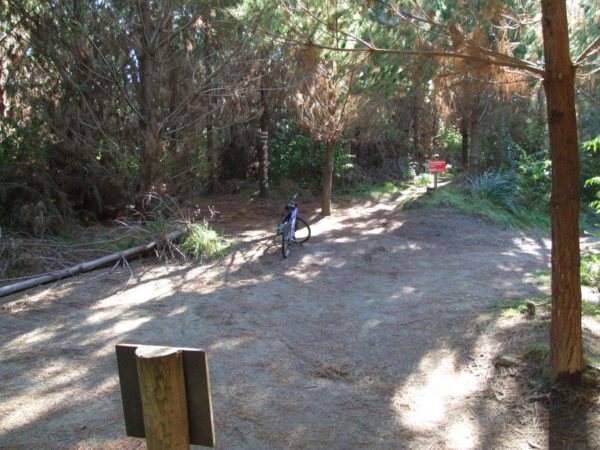
Point 1: Start Of The Whakarewarewa Forest Ride
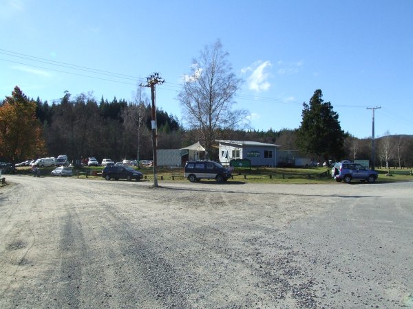
I drove into the Redwoods info center ready for my big bike ride, but the info there was very minimal so I took off back through Rotorua and onto the main road to Taupo and onto Highway 5.
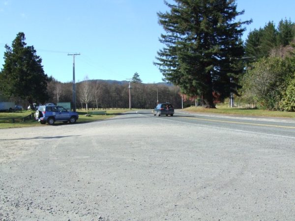
As you drive through the gorge, you take the first turn on the left and 100m in front you will see the main starting point for all the MTB tracks, and the main area for the kids to train in.
The people at the info shed were very good, I had to spend $22.50 on a cloth map which was a good idea, it was made of soft material so you could jam it in your pocket when not required, but I needed reading glasses to read the thing, next time I will print one off the net.
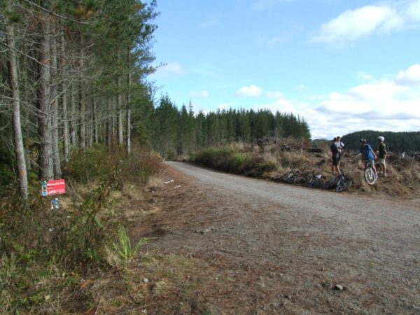
After being told that all the tracks were so well marked I will have no problem finding my way around the Whakarewarewa forest. So I drove up to Eight Mile Road to find dozens of cars parked on the side of the road as well as 20 – 30 people getting ready for their ride.
Some of the riders were so young, I would have said around 5 years old, they were so small I had to be careful I didn’t run them over.

Pondy Down Hill
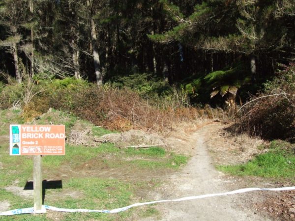
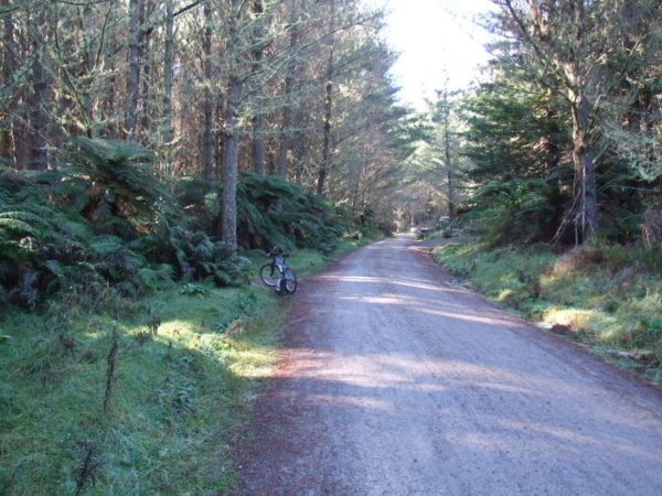
To find the start of Yellow Brick Road all I had to do was peddle up to the signpost number 8 and look over to the right and there it was. The main sign said do not peddle down Eight Mile Road, go down Yellow Brick Road. Well, I must have been the only one on Yellow Brick Road everyone was on Eight Mile Road. Never mind I had the track to myself, if I fell off no one will see me.
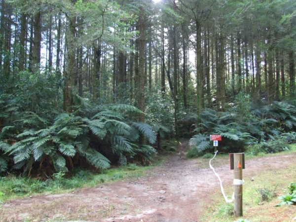
By the way, the tracks are all one-way for safety reasons, this track was really good just a little climb to start with then downhill to the next turn-off.
At the turn off there was not a sign in sight, nothing. Looking at my new map it must be the forestry road to the left, I gave up and waited for someone to come along so I took off.
I have eight hours of daylight left I will be ok. 3 minutes on and another turn-off and you guested it, no sign. The map said left and there were a lot of tyre marks off to the left, it must be the one.
But the guys at the Info Hut did say they had a MTB race last weekend and they were going all over the place, left it is.
4 minutes on and the same thing again, the map said go right, all the markers are going to the left, there was a walking sign pointing to the right, go right.
6 minutes later the same as before not a dickey bird, the walker sign pointed to the left but the map said straight ahead, but on what? I walked around the corner for 50 m, nothing. Back to the bike, I looked again, there was a very overgrown track leading off into a gully, let’s have a look, no it can’t be.
As I turned around and started to walk back to the bike I heard MTB brakes making a racket up in the gully. 50 m further up the gully I walked onto a well-used MTB track, and then a young guy came shooting down the track, so I stopped him and asked, is this the Pondy Downhill, yes he said, great back on track again.
So far I have only been peddling for 16 minutes but spent about 20 minutes trying to find the so-called well-marked, can’t get lost MTB tracks!
Hill Road
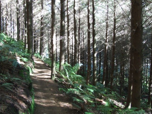
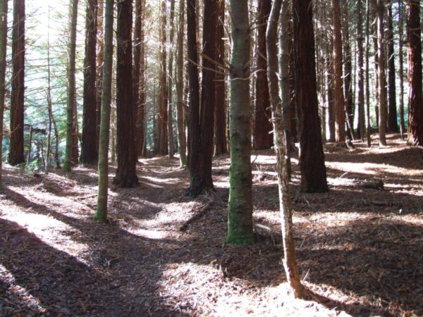
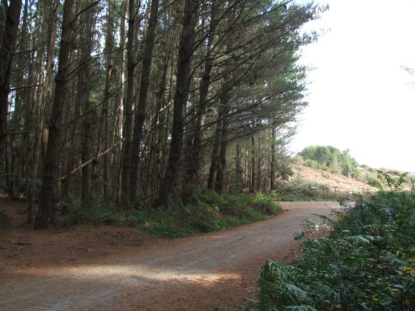
Up till now, I was all by myself, but not now, I was in the pines trees on a very fast track, not that I was going as fast as the young boys who were passing me at 50km, some of the bikes didn’t need any wheels, they found out how to save on rubber by flying instead.
By the time I made it to the next intersection, everyone had gone. Out with the map again, it was showing a y intersection but I could see four tracks going North, South, East and West, which one.
I did find a sign 5 m away laying on its side, all it said was one way only. Time for a hot coffee and wait for someone to come along, which was only about five minutes, when I did ask which way to hill road I was met by, where are you from in a rude manner.
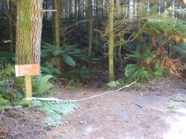
10 minutes later I was out on a forestry road and on the other side of the road was the Roller Coaster sign, now we are talking 5 minutes later on a very easy track I was out on Reservoir Road. If I am lucky, 100m up the road should be the sign to Chop Suey track then Hill Road.
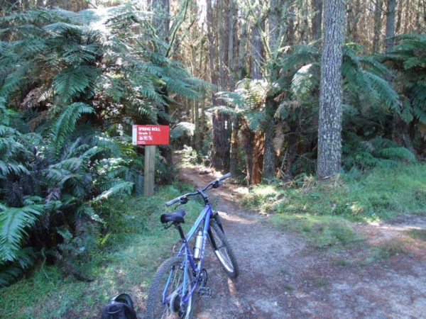
12 minutes later I was out on Hill Road. I peddled about 100m up Hill Road past Spring Roll track to have a look at the Shuttle pick-up area. Well, it was like Queen Street on a Friday night, $5,000 bikes were all over the place. I felt a little embarrassed sitting on my $200 MTB bike wearing my tatty tramping shorts and blue cotton shirt so I headed back to Spring Roll track to hide.

Rude Not 2
From Hill Road, it was back onto Spring Roll Track. There was a little hill climb to start with, then the track levelled out with just a couple of tiny climbs.
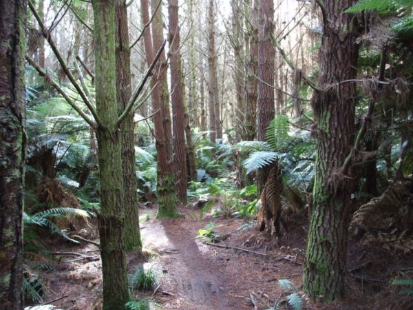
The ride through to Red Tank Road was around the side of a hill with a few small gullies to ride around plus I crossed over two old forestry roads, but this time there were signs to follow. Then there was a little hill climb up onto Red Tank Road to warm me up.
It had taken me 1 hour and 15 minutes of easy riding to get here, the grade three tracks were not that challenging, but I was happy to be back into the first bit of warm sun since the start of the ride, all the tracks were under the cold damp pines trees.
Nursery Road
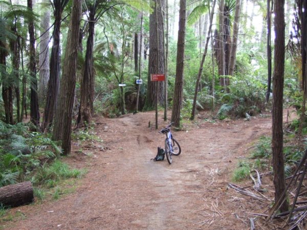
When you ride on to Red Tank RD you can see the B Rude Not 2 track right in front of you. I decided to peddled up to Red Tank Rd Junction Map number 6 to have a look around. There was a good map and info board there and over to the left was a drinking water tap. I did not try the water because I could see the black poly pipe it was connected up to and I had this feeling it would taste of plastic.
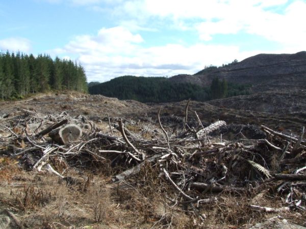
The first 15 minutes of the B Rude Not 2 track was in an area that had just been logged so there was no shortage of warm sun beating down on my back. Being a downhill run I had to watch out for the jumps, not my cup of tea, they should call the track the neck breaker.
Back into the pines again and it was easy going but the were two unmarked tracks running off to the right. One was just a loop track and the second took you down to wash RD where you turn left and ride 50 m to meet up with Nursery Road.
If you peddle straight ahead you come out onto the bottom end of Red Tank Rd now you turn right and 20m in front of you is Nursery Road.
The Redwoods, The END
If you turn to the right, Nursery Road will take you to the Redwoods Info centre. If you want to get back to the car, turn left and get on to Mad If you Don’t track, then on to Puarenga Track. I turned to the right and made my way to the Redwoods to be picked up.
You can spend the rest of the day riding around the many tracks in this area, but you will need a printed map to follow it is like a spaghetti junction. Plus when you arrive at Map number 4 you are back to wall-to-wall people and kids. I did find a track called Exit/Ndo and the Old Exit tracks when I stopped at the start of the track and pulled out my map to have a look, two lots of dads with kids asked me what the track was like, and all I could say was sorry I don’t know, this was my first time here as well.
There was what I would call one steep descent on this track but other MTB would say it’s a piece of cake old man. I arrived at the Redwoods Info Center in one piece after a 2hr 15min enjoyable but easy ride, next time I will take warmer clothing and see if I can find a better map to print off the net.
