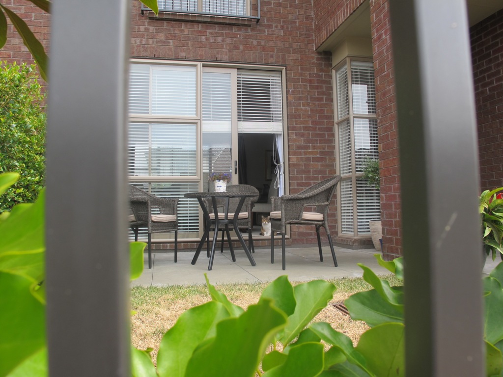
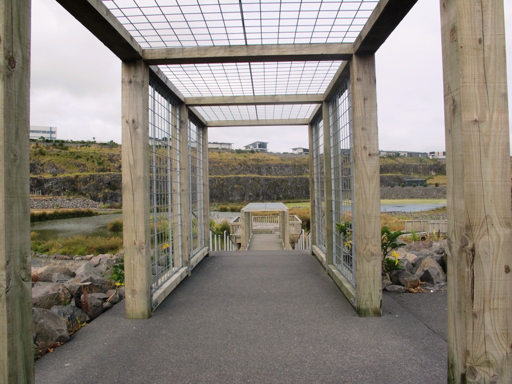
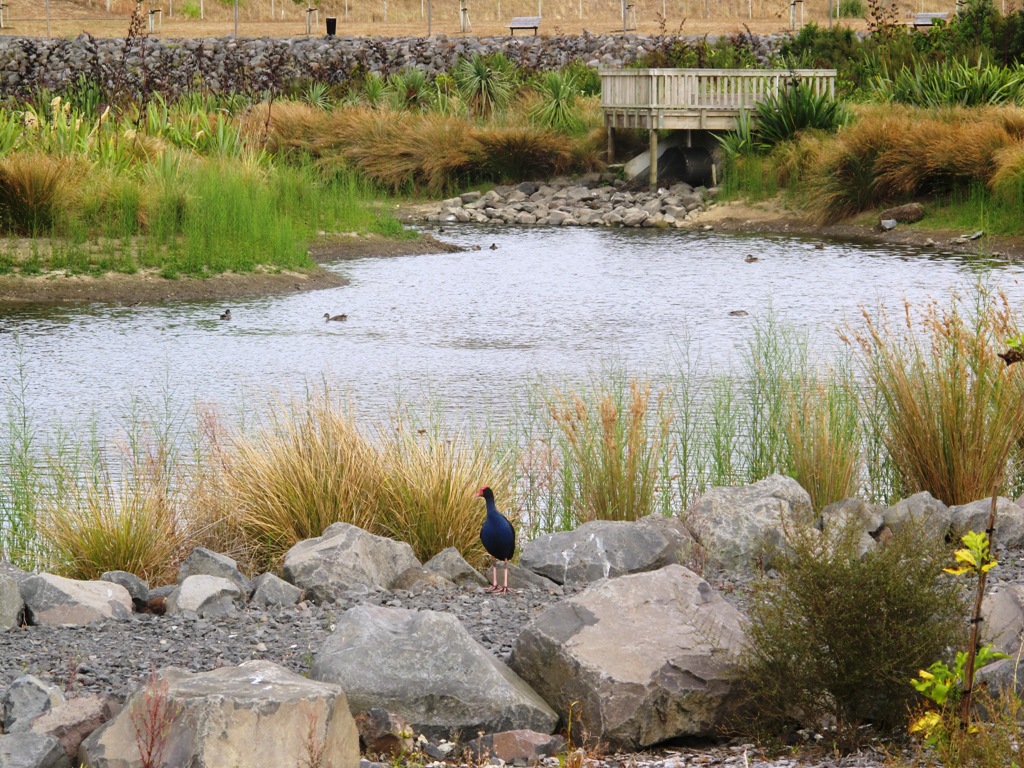
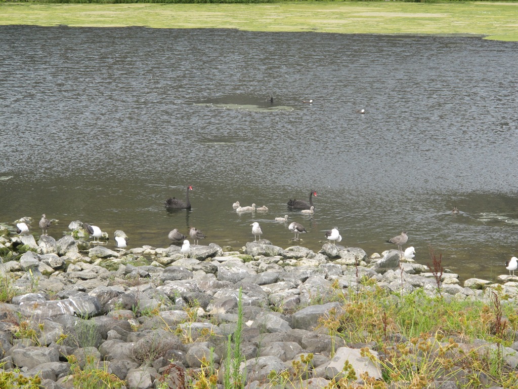
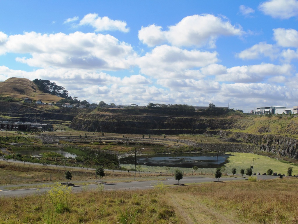
You may wish to extend the walk by heading up to the summit of Mount Wellington for views over Auckland, or explore the streets and houses of Stonefields.
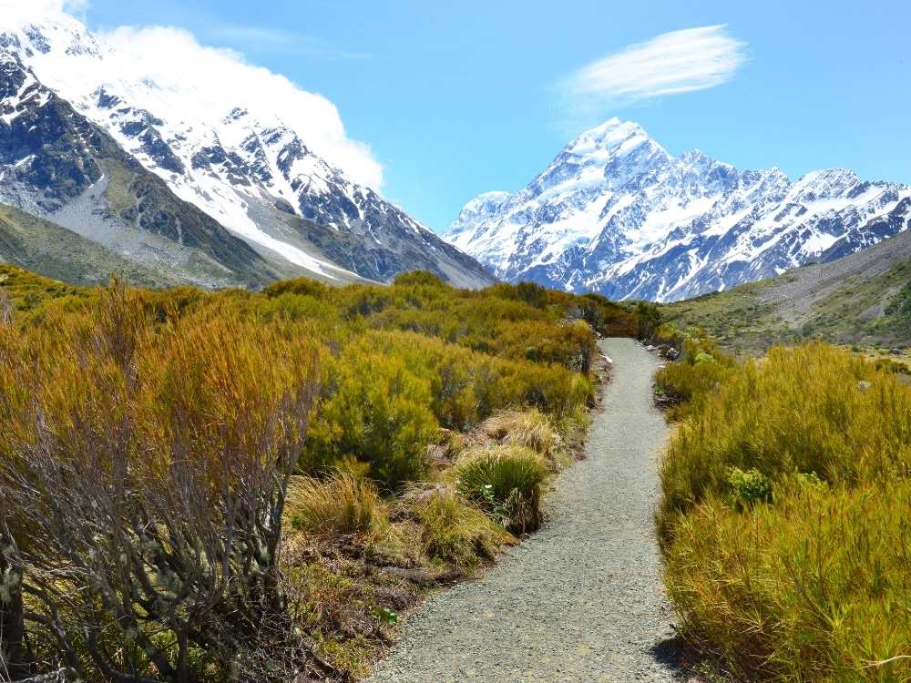
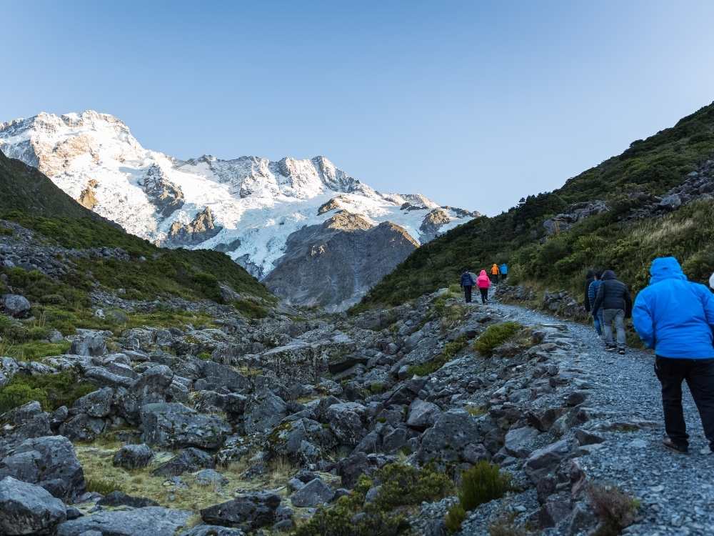
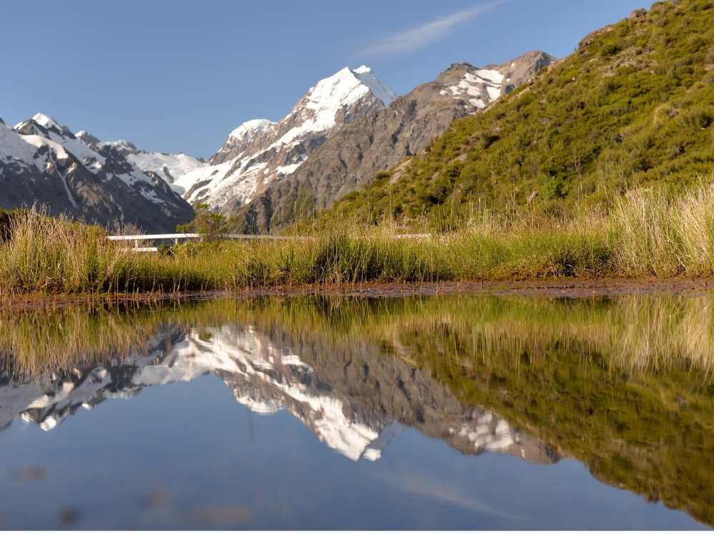
Quick facts about this walk

Walk time: approx. 45 minutes.
Distance: about 4.0 kms
Start: Mitre 10, Lunn Avenue
Track: A mix of level and slightly hilly paths.
Difficulty: Suitable for users of average fitness and mobility.
Highlights: Mount Wellington, Maungarei Springs Wetlands, re-used stone quarry (Stonefields)
FREE Map: Download your FREE map of this walk
The Hobbiton Movie Set Day Tour - Ex Auckland

The Hobbiton Movie Set Day Tour - From Auckland

The volcanic site of Mt Wellington was formed 9000 years ago.  It was used as a village by the Maori with evidence dating back 600 years ago. 

Winstones Limited began quarrying stone here back in 1936 – and much of the stone was used for building Auckland. 

In 2001 the site was sold and is now a large residential area.

Photos from my walk along the Mt Wellington Explorer

More walks near Mt Wellington, South Auckland

Looking out over the Ball Pass Crossing in Mt Cook, New Zealand Freewalks.nz

Ball Pass Crossing

35 km • 3 days • Expert
Walk details →
Looking out over Mount Wakefield and Mount Cook, New Zealand Freewalks.nz

Governors Bush Walk

1.5 km • 1 hour • Easy
Walk details →
People walking along Kea Point Track at Mt Cook, New Zealand Freewalks.nz

Kea Point Track

2.8 km or 5.6 km • 1-2 hours • Easy
Walk details →
Reflection of Mt Cook on the Red Tarns track, New Zealand Freewalks.nz

Red Tarns Track

4 km • 2 hours • Medium
Walk details →
Stunning views over the Sealy Tarns Track at Mt Cook, New Zealand Freewalks.nz

Sealy Tarns Track

5.8 km • 4 hours • Difficult
Walk details →
Stunning view of Mueller Hut in Mt Cook

Mueller Hut Route

10.4 km • 8 hours • Difficult
Walk details →