Home » North Island » Auckland Region » South Auckland » Penrose » Onehunga Foreshore – Taumanu Loop Walk
| Distance | 6.7km full loop | 6km shorter option (avoiding clifftop) |
|---|---|
| Time | 2 hours (full loop) | 1 hour 40 mins (shorter option) |
| Difficulty | Easy – mainly flat with two bridge crossings |
| Start Point | Taumanu Reserve carpark (foot of Seacliffe Road where it becomes Orpheus Drive) |
| GPS Coordinates | -37.0089, 174.8642 |
| Parking | Free at Taumanu Reserve carpark |
| Public Transport | Number 30 bus to Onehunga Transport Centre | Train to Onehunga Station (via Newmarket) |
| Public Toilets | Taumanu Reserve (at start), Beachcroft Reserve, Onehunga Library |
| Cafes | The Library Cafe, Columbus Coffee, Carnegie Library building (1912) at 55 Princes Street |
| Best Time | Two hours either side of high tide at Onehunga (Waitematā Harbour tide times are different) |
| Dogs | On leash at all times. Off-leash area at Onehunga Bay Reserve (muddy after rain). NOT allowed in Taumanu Reserve |
| Weather | May need boots in wet weather, running shoes fine in dry conditions |
Walk what was once the Manukau Harbour seabed. This easy loop takes you along reclaimed beaches, past three sandy coves, out onto the graceful Onehunga Bridge for harbour views, and back through the heart of historic Onehunga. You’ll be walking on what was underwater when Europeans arrived – try to imagine how it looked 185 years ago when Māori lived here surrounded by fish, shellfish, and bird life.
The full loop includes a clifftop section with coastal views. Want to skip the only hill? Start at option 2 and save 700 metres and 20 minutes. Both routes are mostly flat and suitable for average fitness – just watch the tide times.
Walk route documented & phographed by Barry Stafford from Joy of Walking and Rotary Club of Maungakiekie.
Want turn-by-turn directions? Download our detailed walk map with all 21 steps, landmarks, and GPS coordinates.
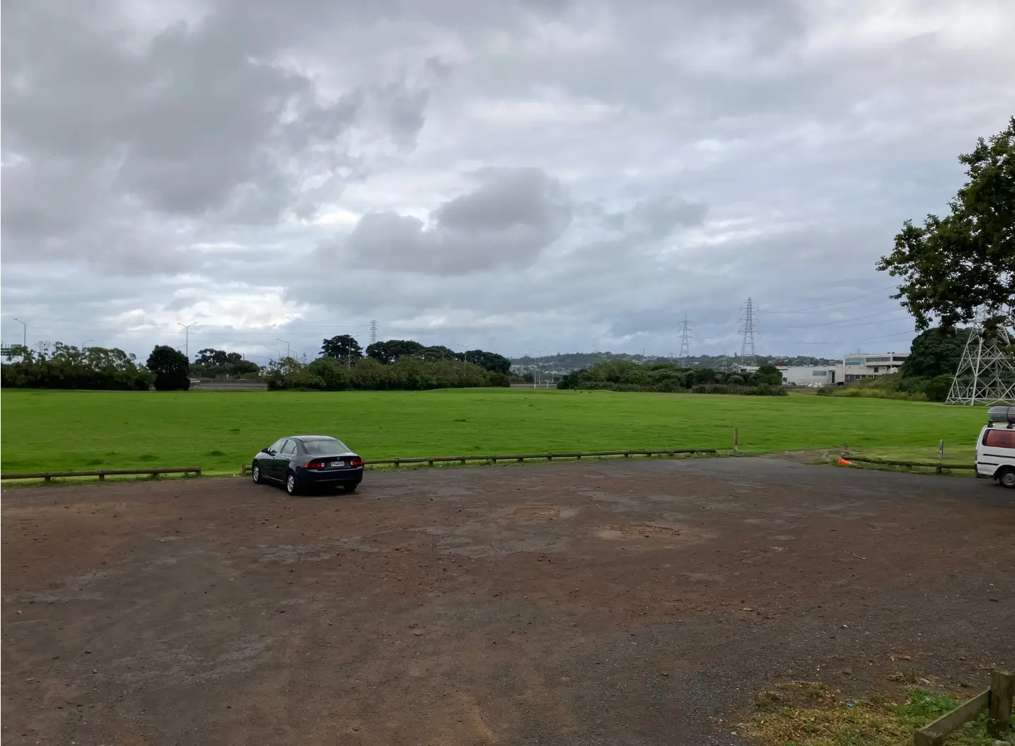
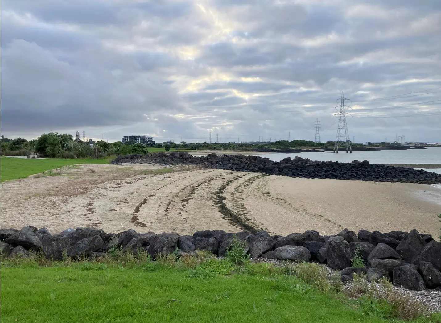
The path skirts the shore past three beautiful sandy beaches plus several smaller stony ones. Taumanu Reserve is a reclaimed area – volcanic rock breakwaters protect man-made beaches that didn’t exist when Europeans first arrived. Information boards along the way tell the story of how this coastline was shaped by reclamation.
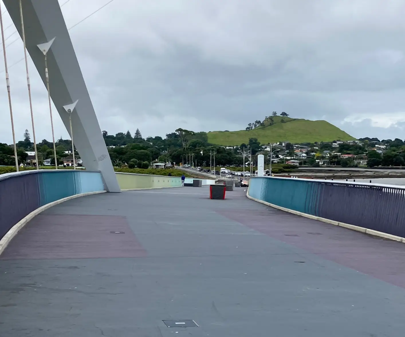
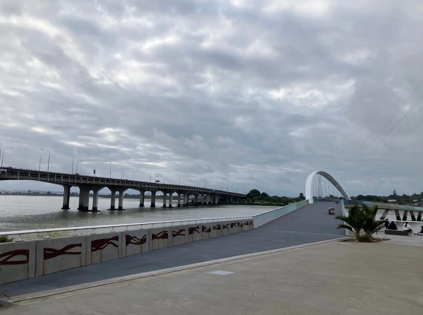
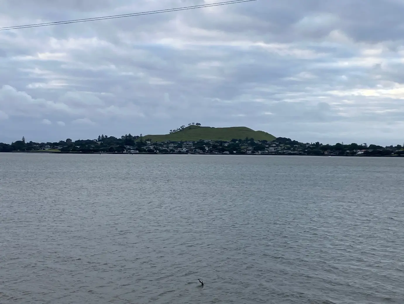
The highlight for many is the short detour onto the new Onehunga Bridge – a graceful arch that curves over the harbour. Walk towards Mangere Mountain on the way out, then turn back towards One Tree Hill. The views from up here show you the full sweep of the Manukau Harbour and the transformation this area has undergone.
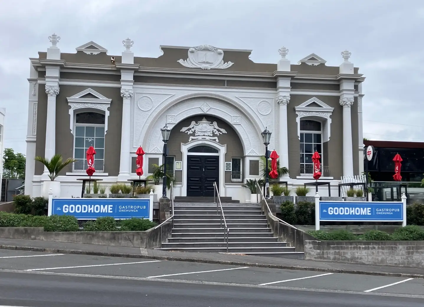
You’ll pass the Carnegie Library building at 55 Princes Street – constructed in 1912 as one of Andrew Carnegie’s libraries funded around the world. It’s now a café and restaurant worth a visit. The whole area has deep maritime and industrial history as a major crossroads and trade route.
From multiple points along the walk, you’ll see Mangere Mountain (Māngere) rising above the harbour – one of Auckland’s most distinctive volcanic cones and a constant landmark as you walk the loop.
By bus: Number 30 from Civic Centre, Queen Street terminates at Onehunga Bus Transport Centre on Upper Municipal Place (close to the library). From there, Pearce Street runs across the bottom end of Municipal Place. Turn left into Pearce Street, then very soon right into Onehunga Mall. At the intersection with Princes Street you’ll be at direction 16 of the walking instructions – you can go clockwise or anticlockwise from there.
By train: Take the train to Newmarket from any city station, then change to Onehunga. On exiting from Onehunga Station carpark, turn right and at the roundabout with Princes Street cross the Mall – you’ll be joining the loop at walking instruction 16.
By car: Free parking at Taumanu Reserve carpark at the foot of Seacliffe Road (start of the walk).
Walking from Onehunga: If you’re staying in Onehunga, just walk to the nearest part of the loop.
The best time is about two hours either side of high tide at Onehunga. Note that the tide time on the Waitematā Harbour is different, so check specifically for Onehunga/Manukau Harbour tide times.
The walk is good year-round. In wet weather you might want boots, but running shoes are fine in dry conditions. Most of the route is flat and exposed, so bring sun protection on clear days.
Here’s something to think about as you walk: part of this route and the motorway are located on what was the Manukau Harbour seabed when Europeans first arrived.
Back then, Māori people lived in the Onehunga area and around the Manukau Harbour. It was a settled area with the environment shaped by people, not wilderness. The harbour had plenty of fish, shellfish, and bird life. The volcanic soil was fertile and easy to cultivate, and timber for canoes and housing was readily available.
This area was a crossroads and a trade route, providing easy access south to the West Coast and the Waikato. As you walk, try to imagine how it might have looked 185 years ago – water where you’re now walking, thriving Māori communities, and a landscape waiting for the massive transformation that reclamation would bring.
If you want to find out more about this area, you can’t do better than “Onehunga’s Changing Foreshore” by Stephen Lasham (2022). Stephen, a longtime resident very involved in Onehunga life (including the sea scouts), has produced a book with painstaking research containing much of the history and the best collection of photographs and maps you could hope to find.
