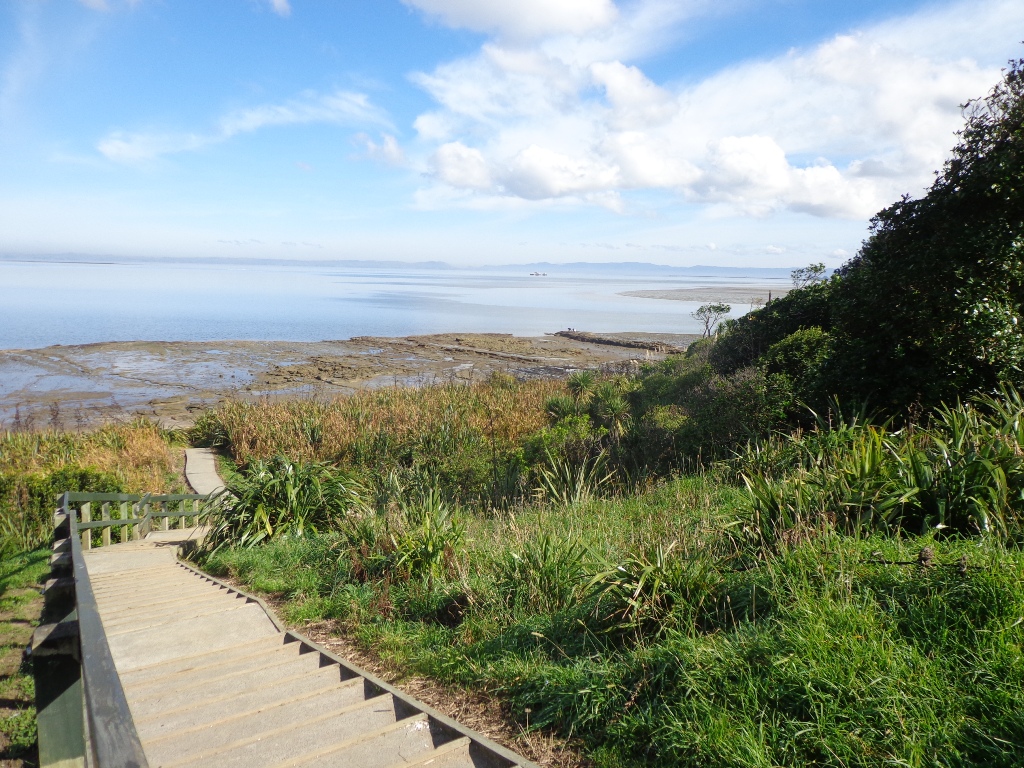
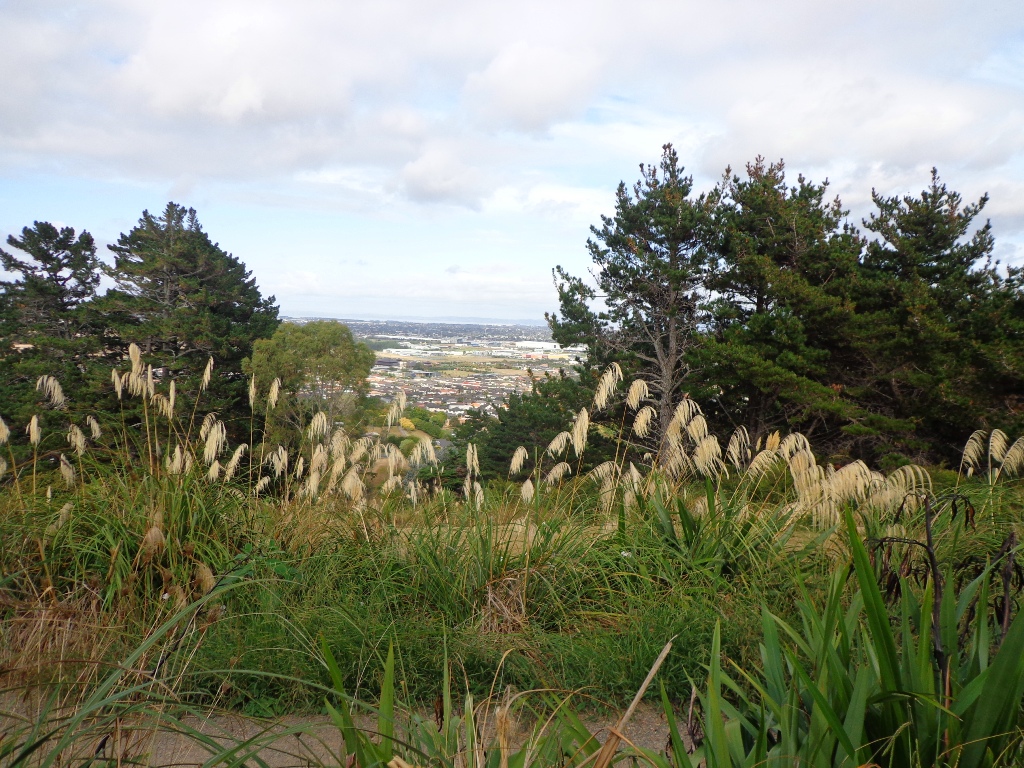
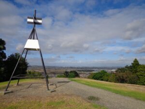
Point View Reserve is close to Botany and Dannemora and the view from the trig station, looking north to Auckland City puts the city’s housing sprawl into perspective. Looking towards the opposite direction there are still the rolling hills of the quiet countryside to see. What a contrast!

Quick facts about this walk

Walk time: approx. 45 to 60 minutes Plus exploring time.
Distance: about 3.16kms
Parking: Corner of Caldwells Road and Point View Drive.
Track: Mix of level and steep paths, with a series of steep steps
Difficulty: Suitable for good levels of fitness and mobility, designed with flat shoes or running shoes in mind.
Buggies/Wheelchairs: Not suitable for pushchairs.
Dog Friendly: Dogs must be on-leash in the bush areas, and off leash in the open areas.
Highlights: Views of Auckland City and countryside, bush and birds.
FREE Map: Download the FREE printable map with directions, of this walk
The Hobbiton Movie Set Day Tour - Ex Auckland

The Hobbiton Movie Set Day Tour - From Auckland

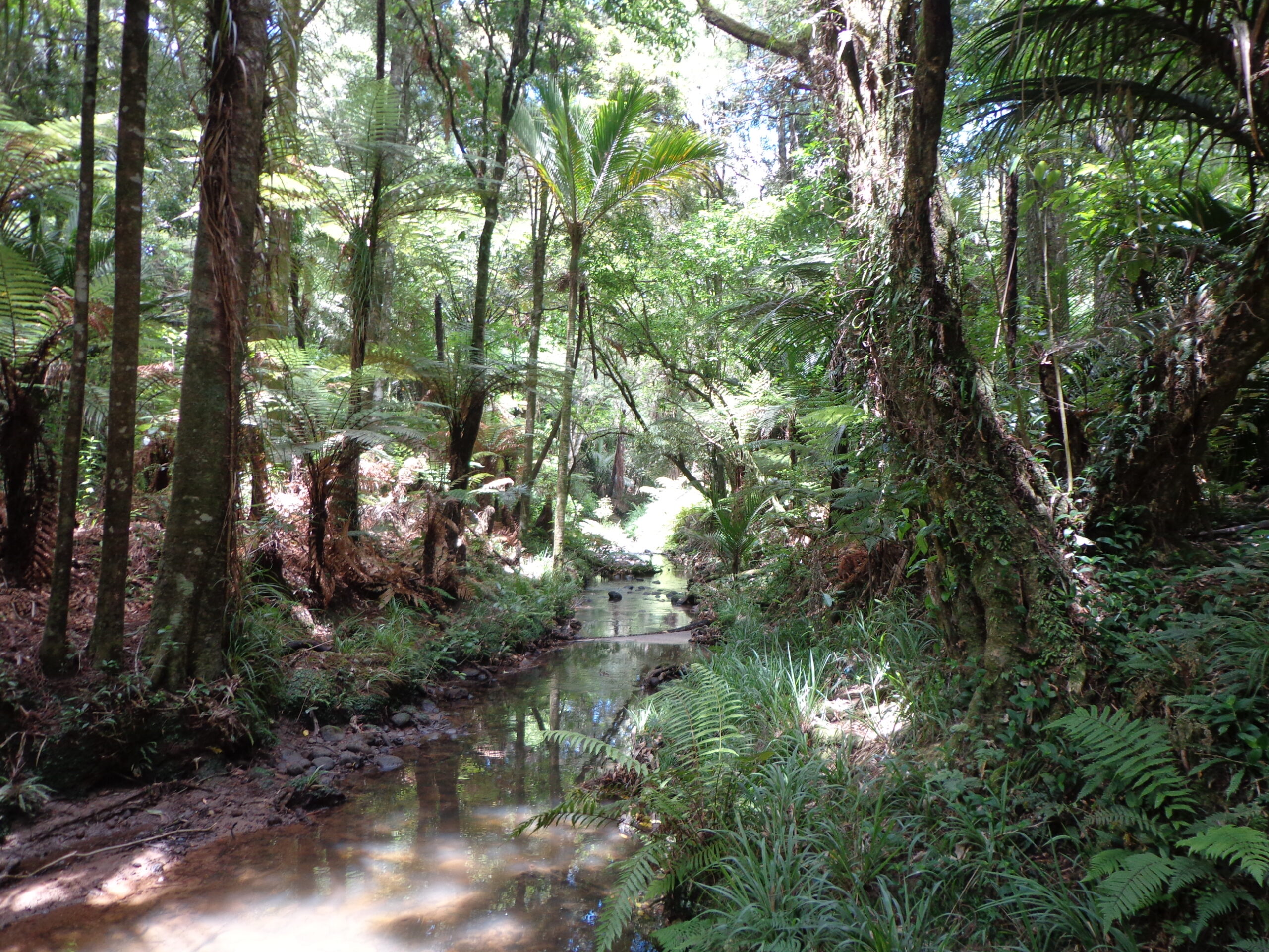
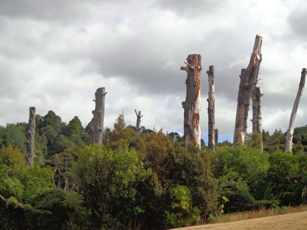
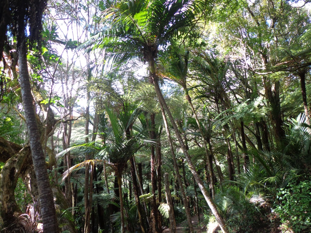
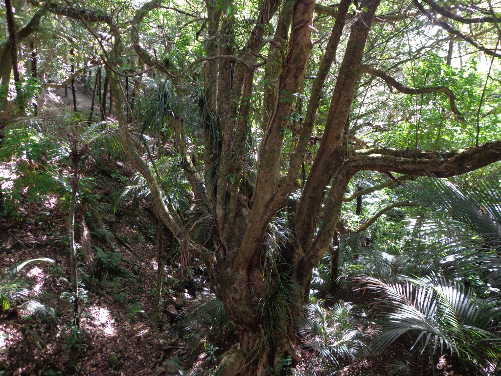
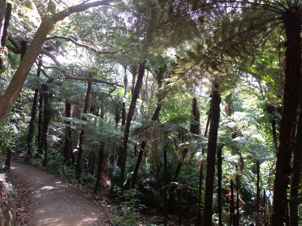
And then, in the middle of the reserve is regenerating native bush – taraire, karaka, puriri, rimu, totara and kahikatea trees; as well as tree ferns, kanuka and nikau palms. What a treasure this reserve is.

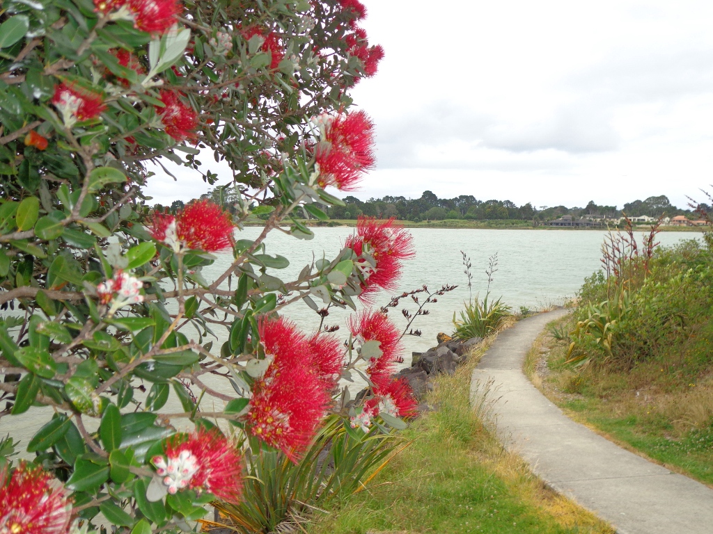
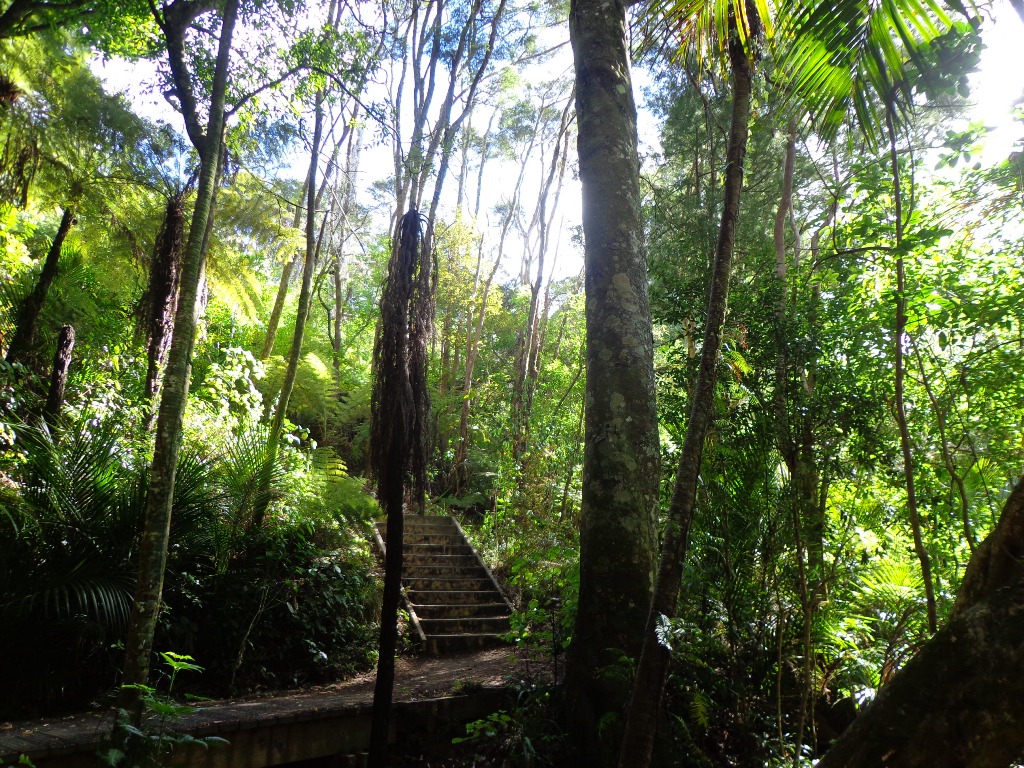
A tributary of the Mangemangeroa Creek runs through the steep gully (we were told there are 500 steps on the Koura Track).

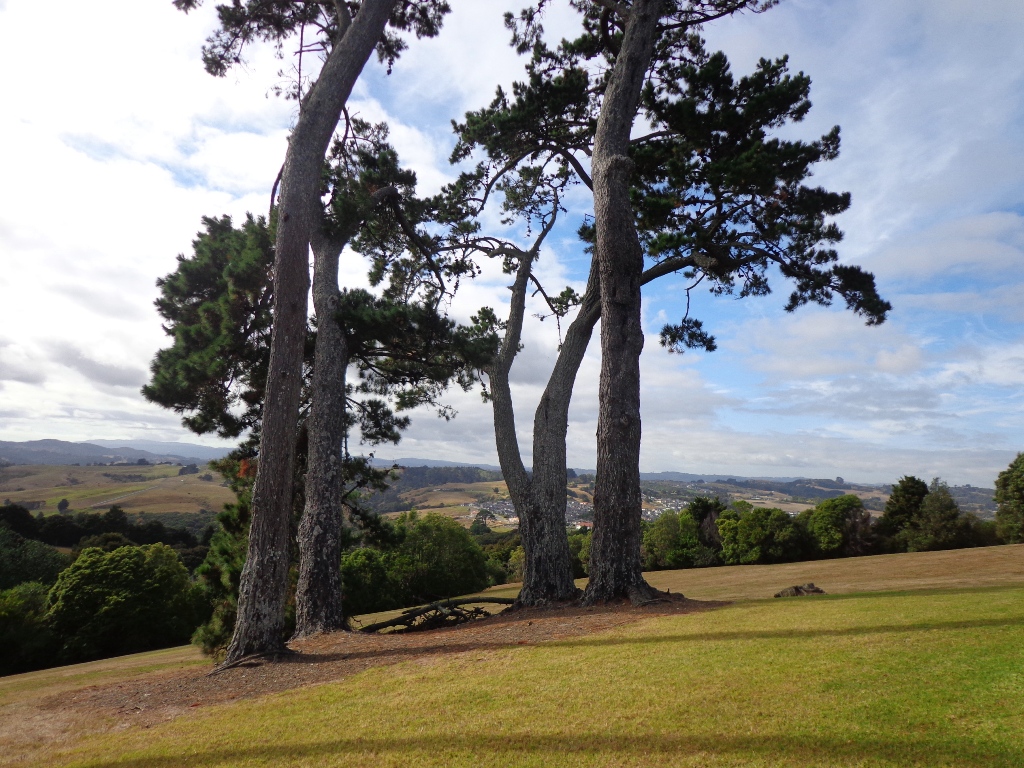
Our 3km loop walk does require a good level of fitness – due to the steep steps. Dogs must be on-leash in the bush areas, and off leash in the open areas.

Map location and how to find Point View Reserve Loop

Photos from my walk along Point View Reserve Loop

More of my walks near East Tamaki in South Auckland

View from the bench seat at Point England Reserve of the beach near Mt Wellington

Point England Walk

We are not familiar with the Tamaki and Glen Innes area, so today was our first walk and explore arount Mt Wellington at Point England ...
Walk details →
Walkway through Maungarei Springs Wetland in Mt Wellington

Mt Wellington Explorer

This walk around the base of the Mount Wellington volcano explores the Stonefields residential development, the Maungarei Springs Wetland and the businesses along Lunn Avenue. ...
Walk details →
Conifer Grove Circuit

Conifer Grove Circuit

The walk along Conifer Grove Esplanade offers views across Manukau Harbour north to Wattle Downs and south to Karaka.
Walk details →
Botanic Gardens and Totara Park Loops

Botanic Gardens and Totara Park Loops

A beautiful sunny morning made our trip south for a walk around the Auckland Botanic Gardens and Totara Park walking tracks and the Puhinui Stream ...
Walk details →

Puhinui Reserve Walkway

Puhinui Reserve Walkway was another new discovery for us last week. It is a huge (199 hectares of rural landscape) undeveloped area out near Auckland ...
Walk details →

Ambury Park Farm Walk

The walk around Ambury Park Farm is a fun, family friendly excursion.
Walk details →

Highbrook Park Loop

If you have been out to Highbrook Business Park in South Auckland, you may have noticed a walkway along the waters edge to the north. ...
Walk details →
Bench at Wattle Downs Walkway

Wattle Downs Walkway

Wattle Downs in South Auckland was another new area for us to explore. The Wattle Downs Walkway goes around the edge of the peninsula that ...
Walk details →
Mangere Esplanade Loop Walk

Mangere Esplanade Loop Walk

It was a treat to walk along Kiwi Esplanade (Mangere Bridge) at high tide in the sunshine this morning.
Walk details →

Otara Creek Walkway

The Otara Creek Walkway in South Auckland, passes through some 220 hectares of waterway/tidal mudflats and forms a green corridor within Otara township.
Walk details →
Weymouth Walkway Loop

Weymouth Walkway Loop

The Weymouth Walkway south of Auckland, is a mainly flat (suitable for wheelchairs and pushchairs), concrete paved path that follows the coastline of Manukau Harbour ...
Walk details →
Papakura Inlets Walks

Papakura Inlets Walks

It was low tide this morning as we walked around the Pahurehure Inlet at Papakura.
Walk details →