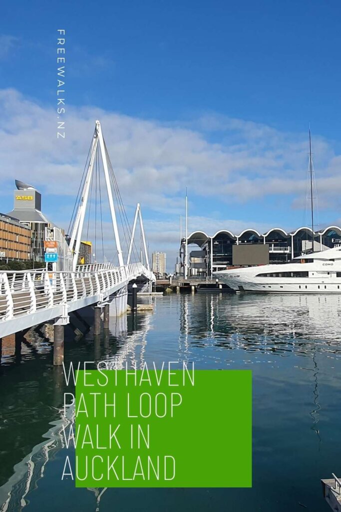
I started and ended this walk at the Auckland Viaduct, walking in a loop enjoying the stunning views along the way.
You can walk or bike along the Westhaven walkway via the Auckland Viaduct and St Marys Bay, I walked it. There is so much to see with the history and charm on Auckland’s waterfront. From massive luxury boats, stunning harbour bridge views, Erin Point park, a pedestrian bridge crossing the motorway, and everything in between.
I’ve also done a shorter walk if you are tight on time, it doesn’t go around the viaduct part and saves a couple of kms. It’s the Point Erin and Auckland Harbour Walk.
Quick Facts about the Westhaven Path Loop Walk
Location: Auckland Viaduct, North Island, New Zealand
Distance: 7.8 km
Time needed: 1 hour 45 minutes to complete the full loop
Difficulty: Very Easy
Bike: Yes, but not across the pedestrian walkway over the motorway, go straight ahead through Victoria Park instead.
Wheelchair Access: On the promenade, there is plenty of room, around the streets is ok, but not so much through Point Erin Park.
Route: Loop Walk
Elevation: 20m
Wet Feet: No
Toilets: Yes, plenty along the way
Dogs: This is a dog friendly walk
Mobile Coverage: Yes
Pin this photo to Pinterest
Summary points about this walk
Walk Highlights
Walking past luxury boats, views out to the harbour bridge, walking along Auckland's waterfront with stunning views.
Track Quality
This is an excellent wide path, including walking through Point Erin Park.
Hazards
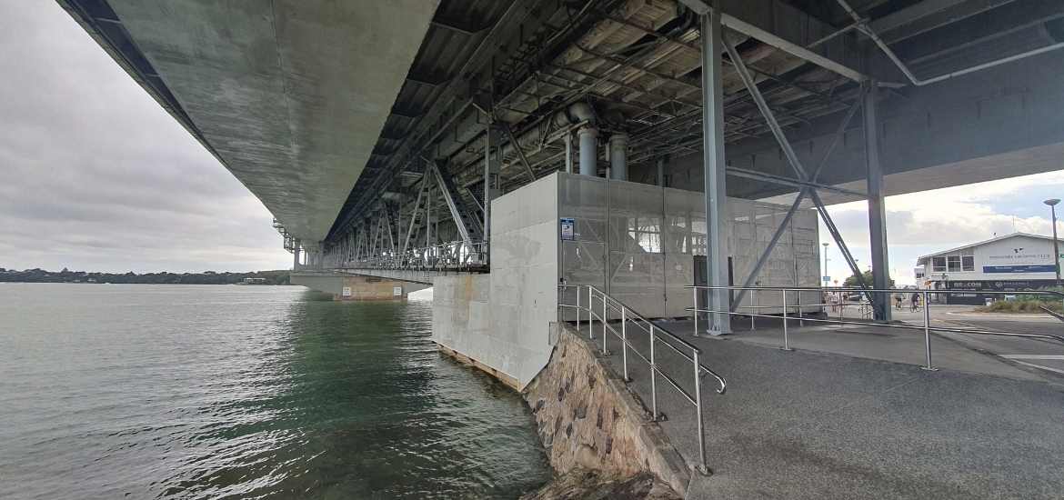
It can get a bit windy as you walk under the harbour bridge, but nothing else of concern.
Transport
There is plenty of public transport to get you to the start and end of this walk in the Auckland Viaduct.
Water
There are plenty of water fountains along the way.
Driving Instructions
Drive to down town Auckland as close as you can get to the Viaduct.
Shops & Restaurants Nearby
Well, there are plenty of restaurants and cafes in the Viaduct. Half way along the walk right next to the harbour bridge you'll find a cafe there as well.
Westhaven Path Loop Walk Map
My 3d video map of Westhaven Path Loop Walk
Looking back at the main road from the Auckland Viaduct
At the start of the walk
Lots of restaurants and boats to admire
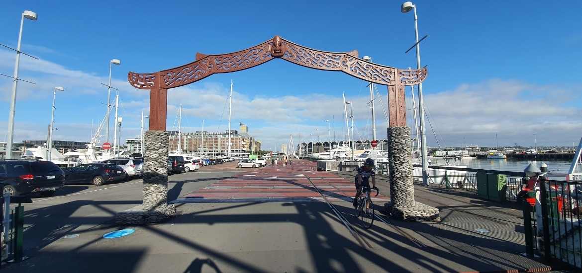
Starting at the Auckland Viaduct
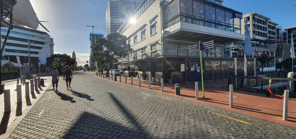
The Auckland summer weather did not disappoint today, it was perfect. I started my morning from Devonport and caught the 8.30am ferry to downtown Auckland, then hung a right and walked along to the viaduct, the official start of this walk.
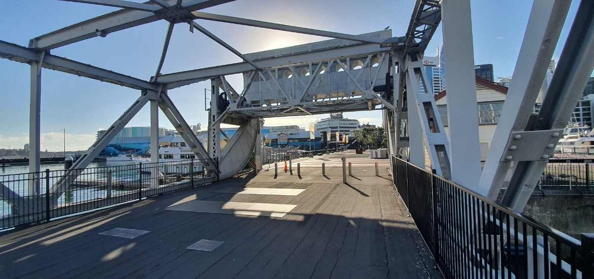
Entrance to the Western Viaduct
The old Western Viaduct drawbridge
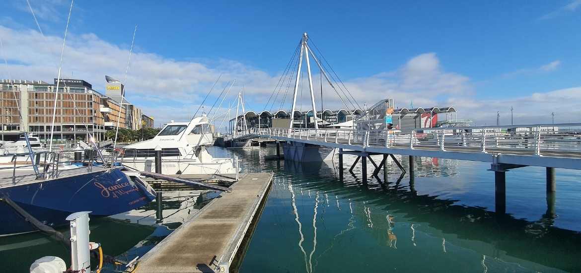
Looking across to the new Western Viaduct drawbridge
Stunning boat in front of the Western Viaduct drawbridge
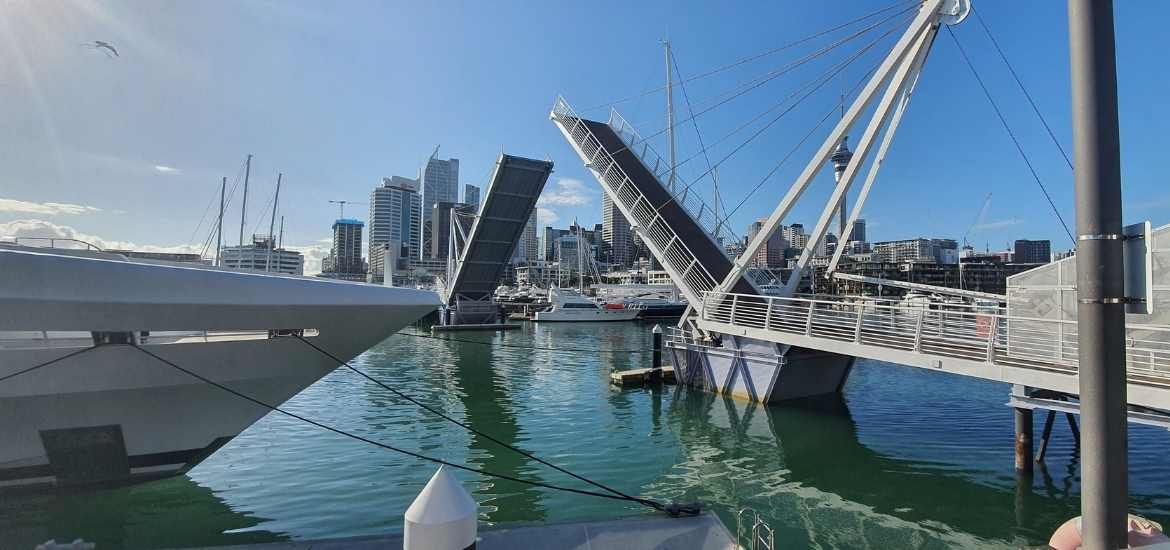
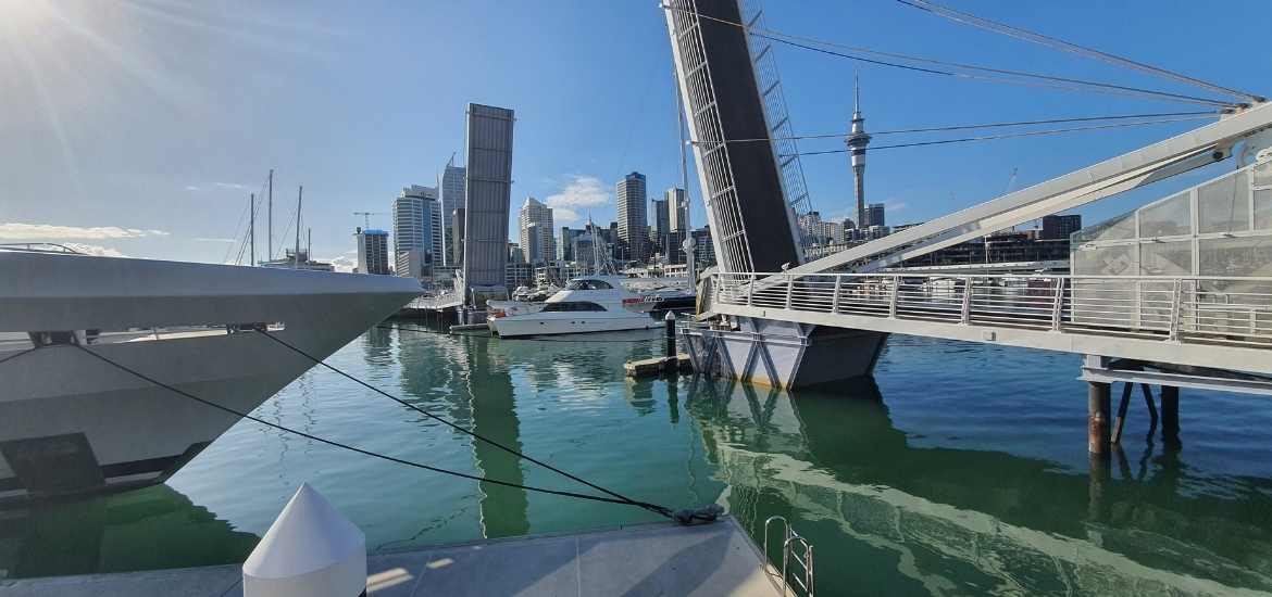
Drawbridge opening for a boat to exit
The drawbridge fully open to let a boat pass
Follow the footpath over the drawbridges
Walk straight ahead towards the draw bridges. You’ll walk over the old bridge that no longer works, then onto the pretty newer white bridge which does work. Listen out for the bells telling you to get off the bridge it’s about to go up and let a boat or two through.
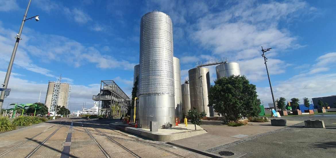
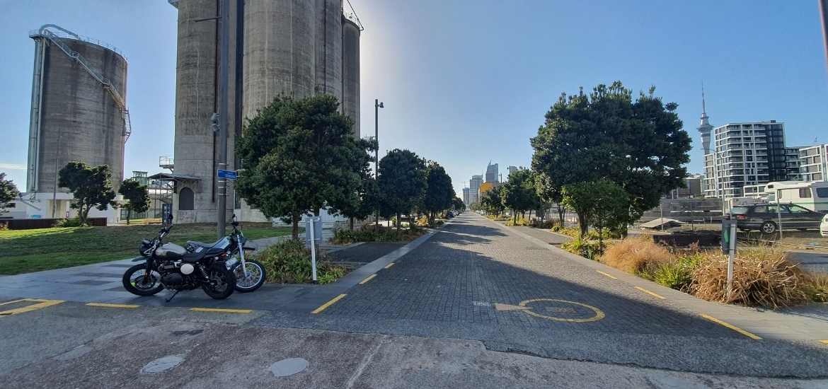
Silo Park in the Western Viaduct
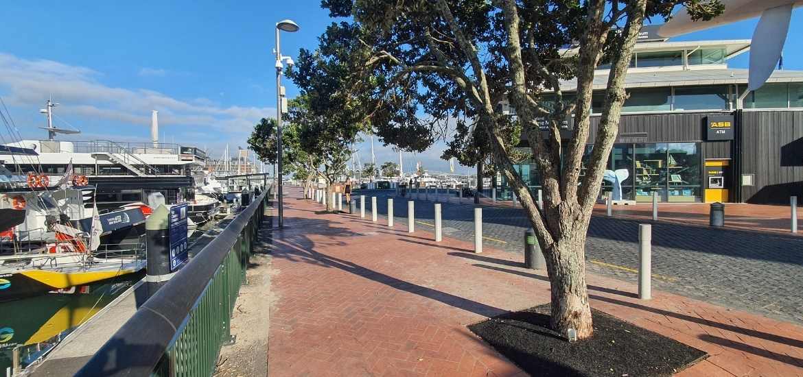
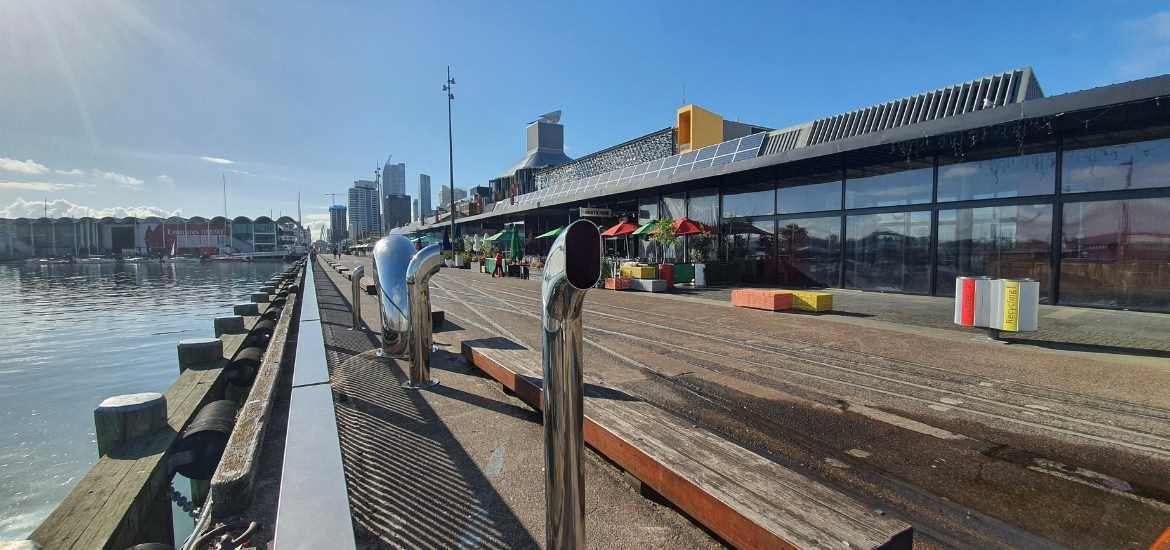
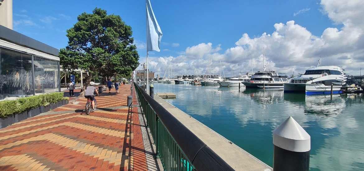
Walking past all the waterfront restaurants
Karanga Plaza to Silo Park
As you exit the drawbridge you’ll be in Karanga Plaza where you can dip your toes in the water and admire the city view. At the kiosk there’s even a bike fix-it stand on hand if you to do any repairs. Carry on walking straight ahead past the many, many restaurants and bars lining the waterfront. Silo Park is a hub of events: markets, outdoor movies, festivals and more.
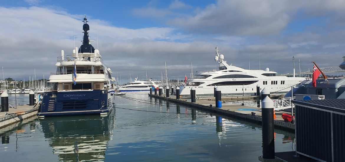
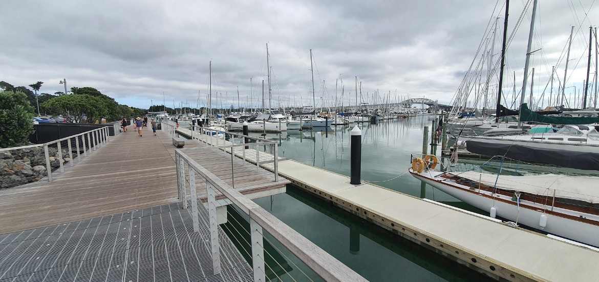
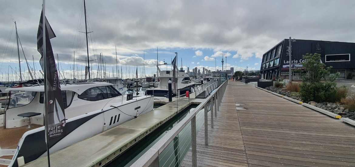
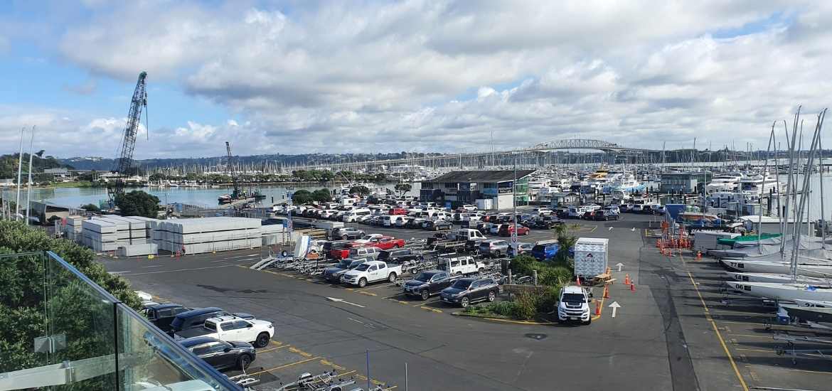
Admiring the huge boats at Silo Marina
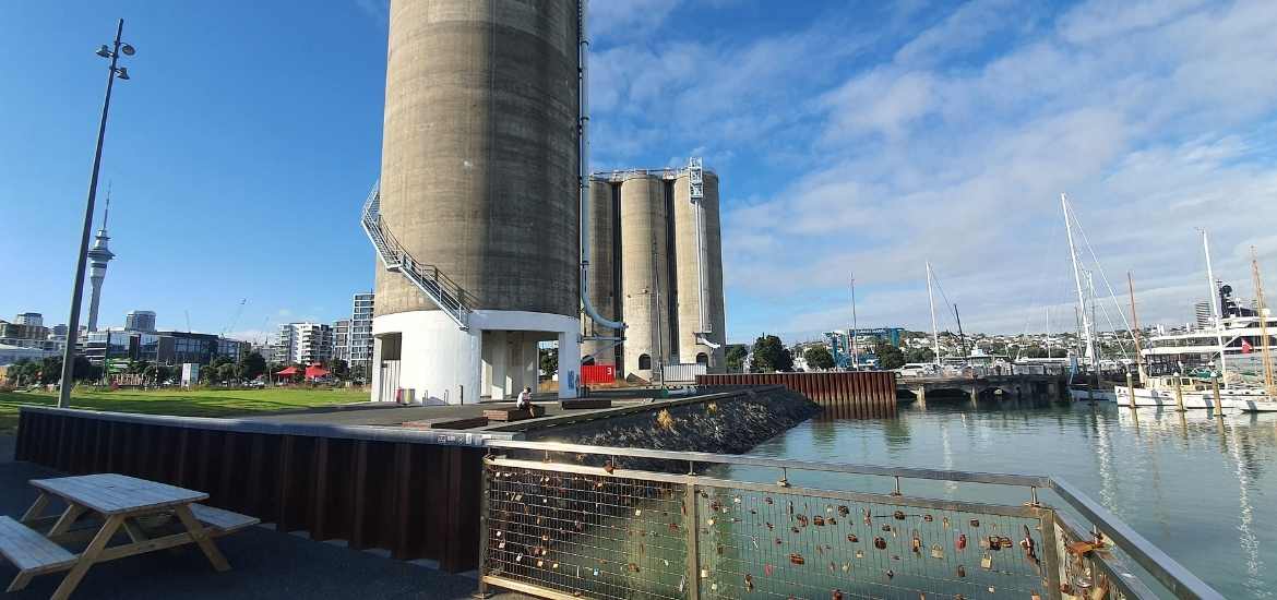
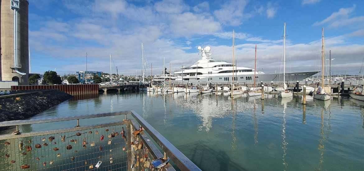
More big silos to walk past, see the Love Locks on the fence
Walk right to the end to the viewing platform. Love locks on the fence.
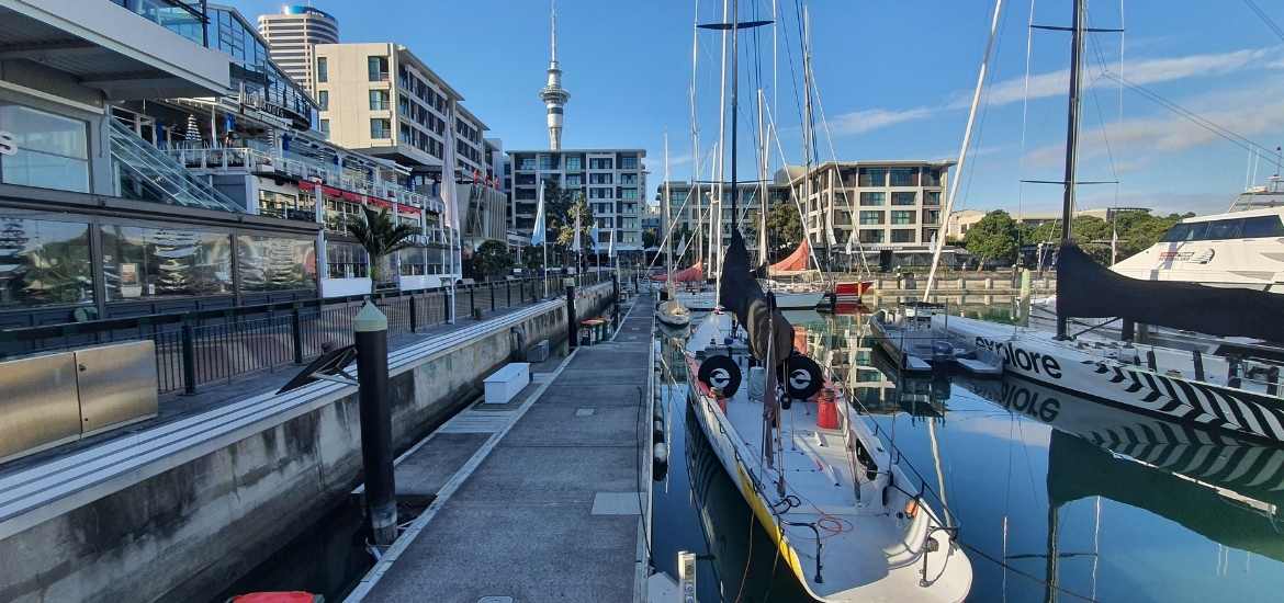
Views out to the harbour bridge
Boat parking shed along Beaumont St
About to walk down Jellicoe St
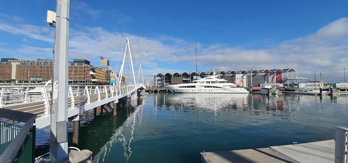
Straight ahead to Silo Marina
The official Westhaven Path map detailed by the Auckland council website doesn’t mention walking to Silo Marina, I don’t know why, it should be part of the walk. Just walk straight to the end for great views out to the Auckland Harbour Bridge.
Why all the padlocks on the railings?
These are “Love Locks”. Love locks appeared all over the fence at downtown Auckland’s Silo Park. Some of the padlocks have the names of couples engraved on them and have dates on them too.
In other countries, couples attach the padlocks as a sign of their love. The Silo Park fence sits along the harbour’s edge with views of the harbour bridge and the Waitemata.
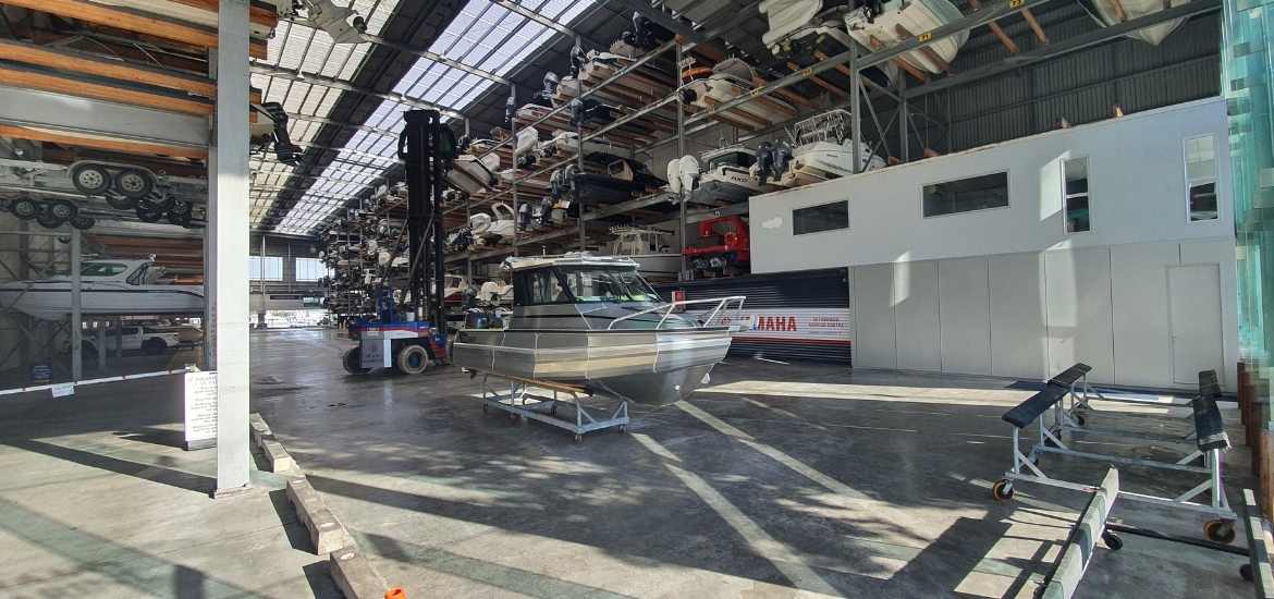
To your left walk past more silos, past more lovely boats then turn left into Jellicoe St. Follow the road and take the first right into Beaumont St. Poke your head into the boat stacker parking shed, it’s really cool.
You can walk all the way to the end of Beaumont St then hang a right or cut the corner and take a right at Westhaven Dr, this is what I did.
Start of the wide promenade
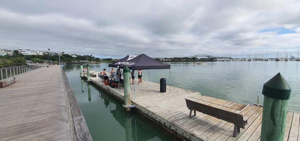
Saturday morning waka training
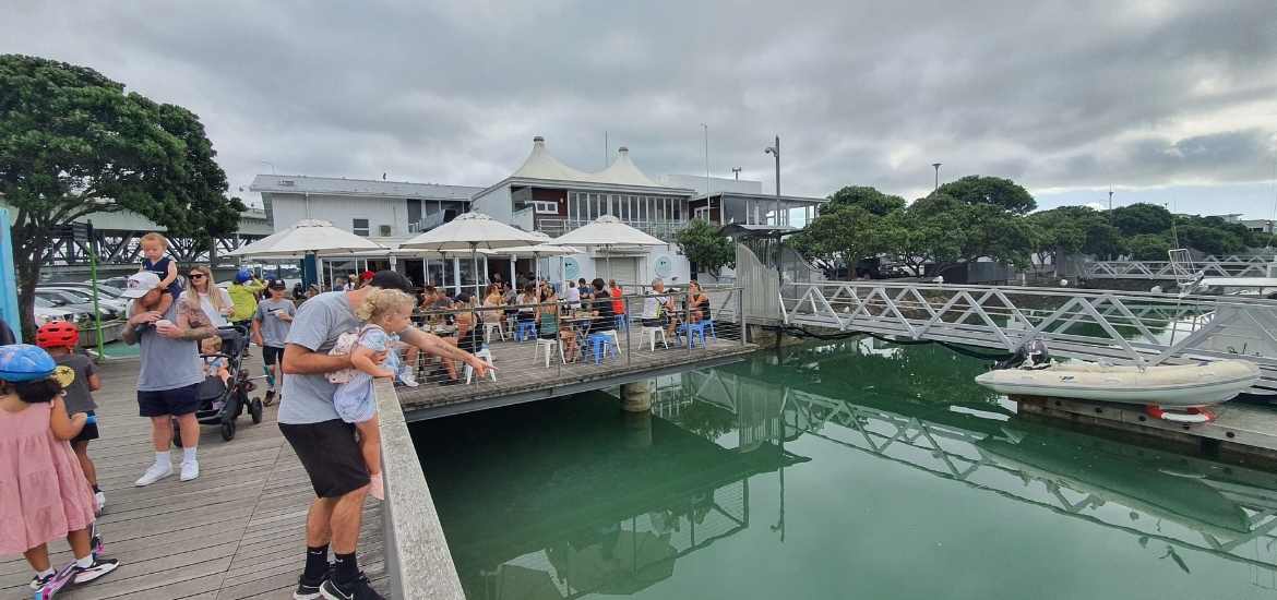
Everyone enjoying Buoy Cafe
Wide promenade past more boats in the marina
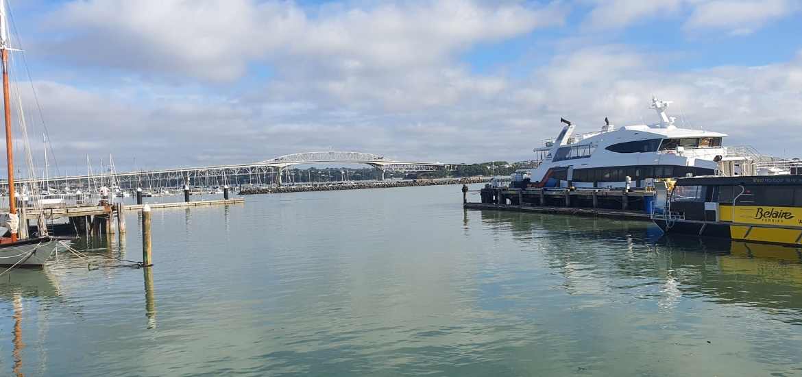
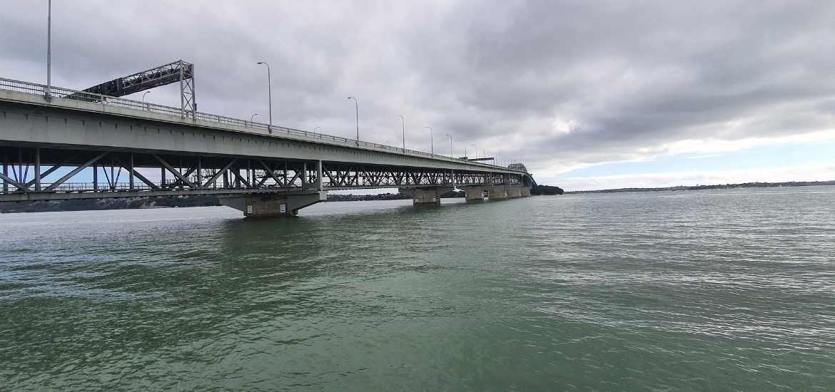
First view of the Auckland Harbour Bridge
Right under the Auckland Harbour Bridge
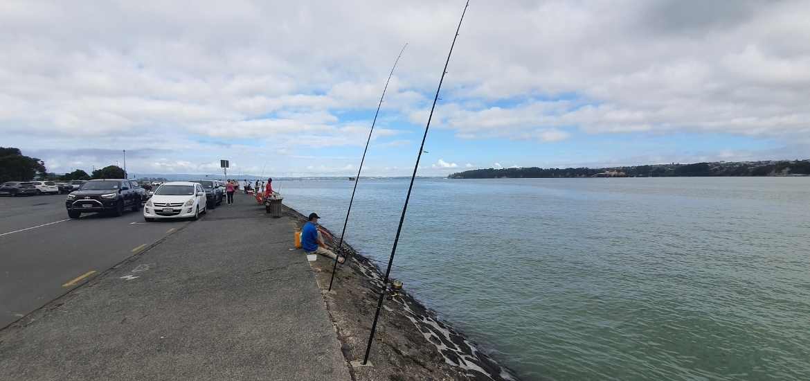
Fisherman lining Curran St
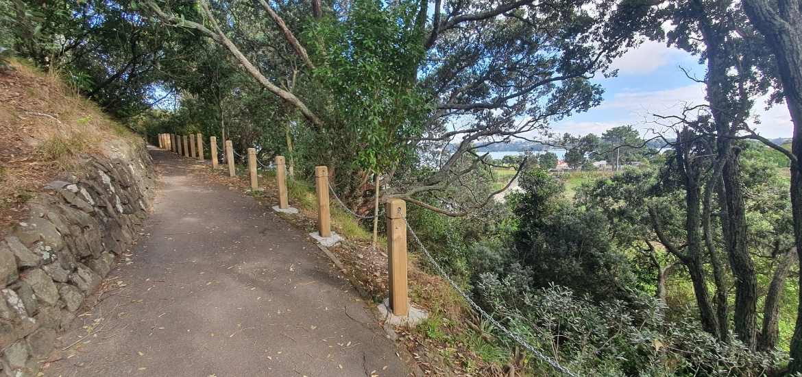
Hill up to Point Erin Park
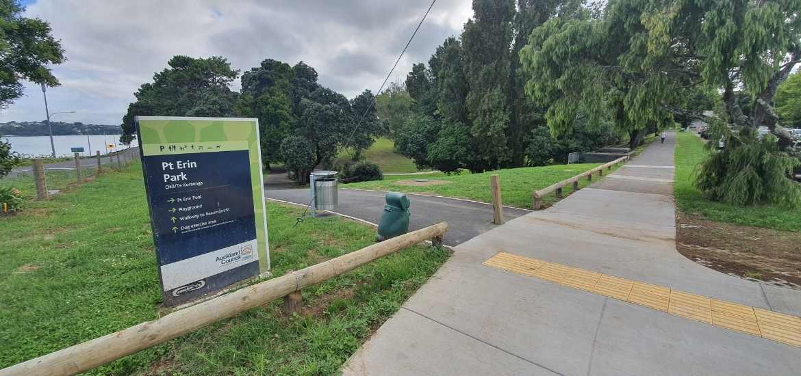
Sign at Point Erin Park
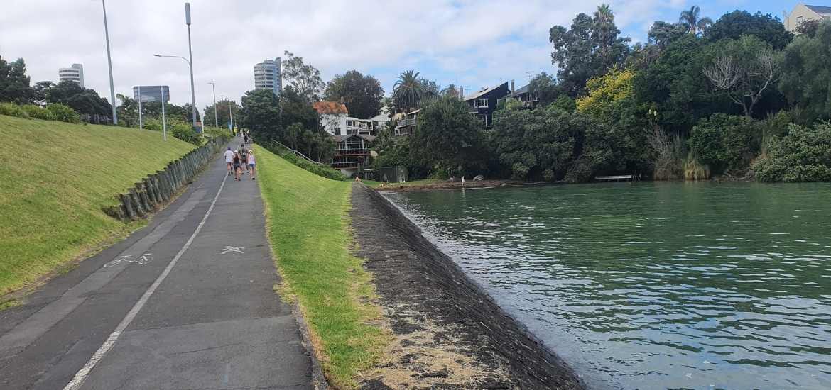
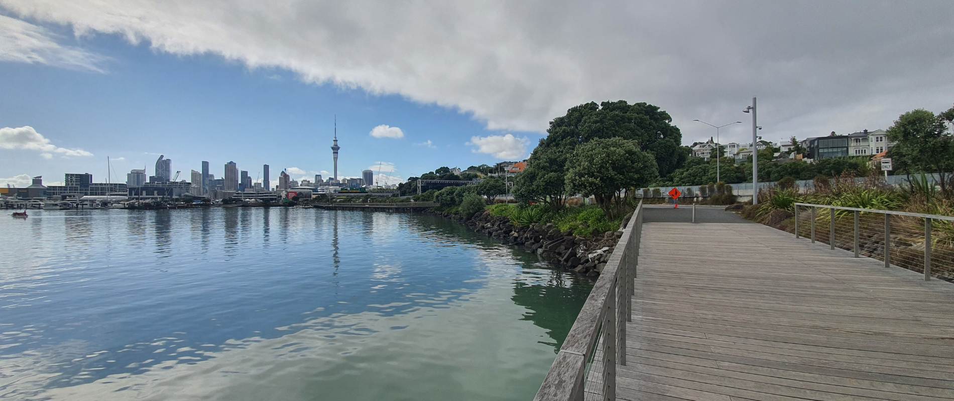
Westhaven Dr past St Marys Bay, under the Harbour Bridge to Point Erin Park
You’ll walk past the footbridge over the motorway, along Westhaven Dr, past Pier Q and onto the start of the new Westhaven promenade walkway. Follow the boardwalk past Sails Restaurant, past even more boats in the marina until you get to the end at Buoy Cafe under the Auckland Harbour Bridge.
Turn left and walk under the bridge along Curran St, past the smelly fisherman, following the waterfront and up the hill. Turn left at the first crossroad at the corner of Pt Erin Park.
Did you know?
The Auckland Harbour Bridge was officially opened on the 30th of May 1959 and almost 5 million vehicles crossed the bridge in the first year. Vehicles paid a toll to cross the bridge until 1984.
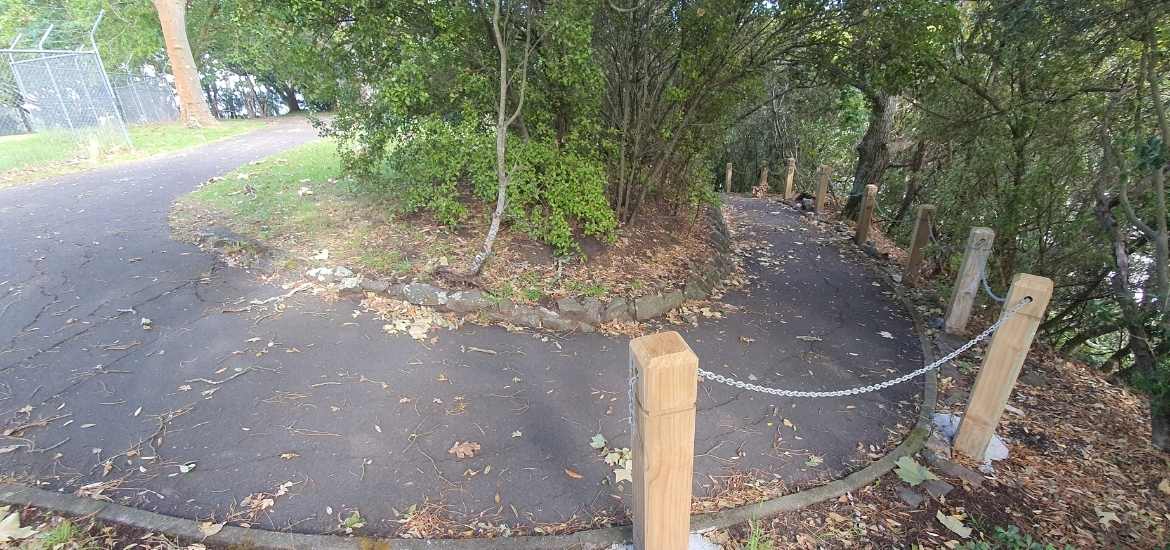
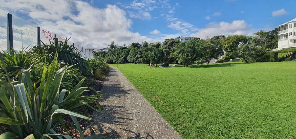
Track through Pt Erin Park
Track at the back of Pt Erin pools.
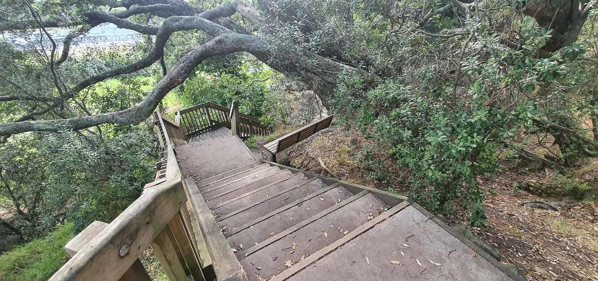
Steps down to Shelly Bay
Long walk back to the footbridge
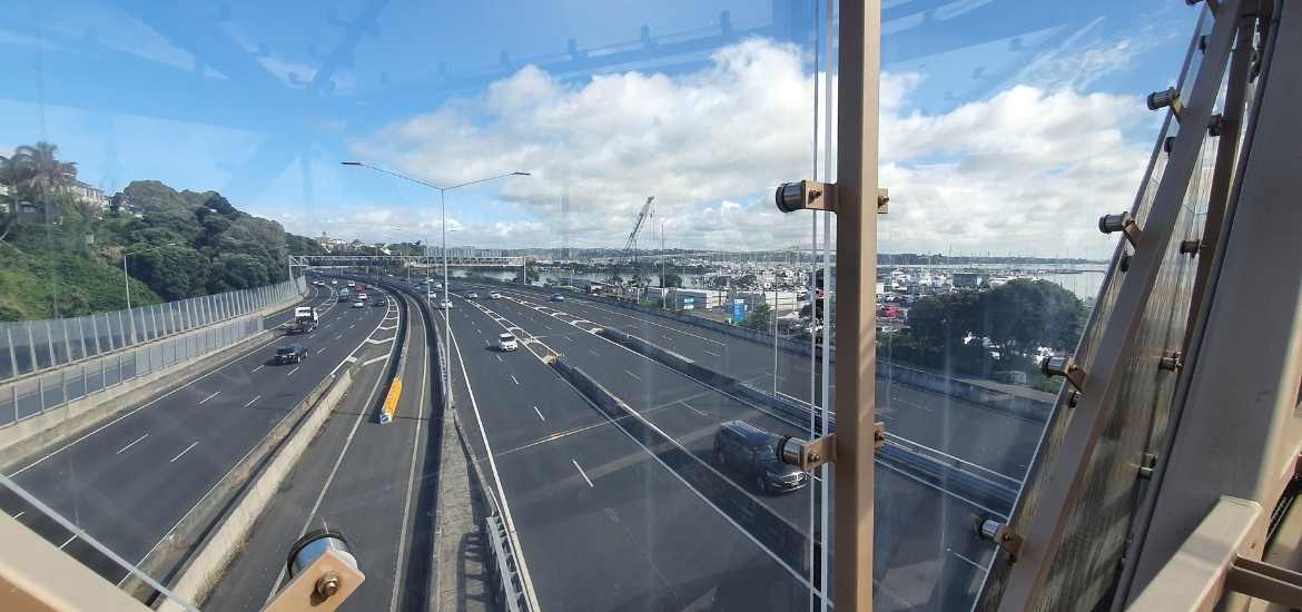
View from the middle of the footbridge
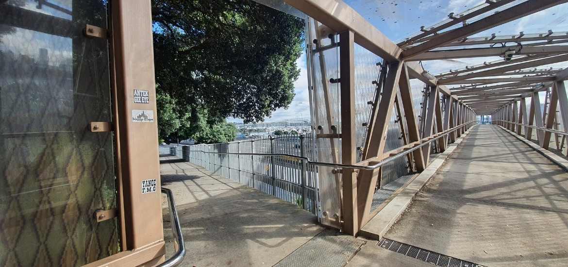
Footbridge over the motorway
Point Erin Park to the footbridge
Turn left into Pt Erin Park, continue along the nice track keeping straight ahead and up the hill. You’ll be following along the edge of the park then around the back of the now dated Pt Erin Pools.
I walked right to the end then turned left and started walking downhill. Follow the track down the steps onto the wide path at the bottom, this is Shelly Bay. Follow the wide track all the way to the footbridge over the motorway. Walk over the bridge and down the steps on the other side.
Did you know?
Before the construction of the Auckland Harbour bridge, the headland at Pt Erin and the beach below were sites of great cultural significance for local Maori. After European settlement, the area also became a popular place for swimming and picnicking. Located at the base of the headland and reached by footbridge from the beach, the Shelly beach saltwater baths were officially opened in November 1912. The baths and a number of small boatyards nearby were demolished in the 1950s to make way for the Auckland Harbour Bridge and its motorway approaches.
Views from the top of the footbridge
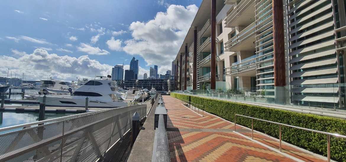
Turn into the Viaduct Marina
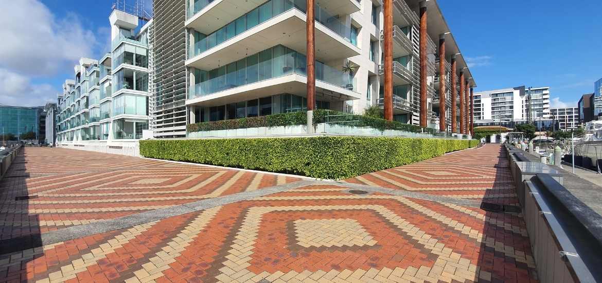
Walking past the apartments
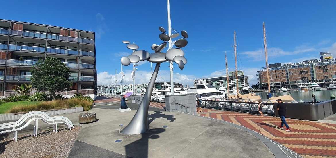
Wind sculptures in the Viaduct
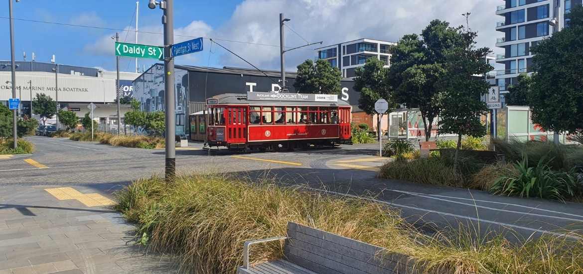
Dockline tram running in the Wynyard Quarter
Back at the restaurants in the Viaduct Basin
From the footbridge back through the Viaduct Basin
At the base of the footbridge turn left into Westhaven Drive, then follow the road to the left until you get back onto Beaumont Street. Turn left at Beaumont Street take the first right into Pakenham Street West and follow this until you get to the end. Turn left into Halsey Street. Walk along a bit until you can turn right at the corner of the big apartment building and follow the path to the end. You’ll turn right again now you’re following the Viaduct Harbour marina waterfront. Follow the path all the way around the waterfront, passing the wind statues until you get back to the start of the walk at the Viaduct Basin, where all the restaurants, bars and cafes are.
Auckland Dockline Tram returns to the Auckland waterfront
The iconic Auckland Dockline Tram performs its well versed 1.5km loop of Wynyard Quarter every weekend. The tram operates on Sundays, public holidays and Saturdays over long weekends from 10 am – 4 pm.
Passengers will enjoy the tram ride along Jellicoe, Halsey, Gaunt and Daldy streets whilst providing live commentary on the sights, attractions and history of the area.
The cost of travelling on the tram is deliberately kept low, with all-day tickets priced at $2 for an adult and $1 for a child. Seniors with a SuperGold Card and under-five-year-olds will ride for free.
As the tram is considered a tourist attraction and not public transport, payment for the tram must be made by card or cash and AT HOP cards will not be accepted.
Complete guide to the Epsom Village & Mt Eden Volcano Loop: historic suburbs, Melville Park, crater views. Download the full walking map with directions.