We only walk to the summit of the Tuahu Track, have lunch then turn around and come back again.
Just going to the top is much easier than going over the ridge and down the other side, it’s not really worth it as there isn’t much to see. The track starts at the end of Hot Springs Rd at the car park. It’s an excellent walk with Rimu & giant Kauri trees, freshwater streams, plenty of great views and bird life. This is our most favourite walk in Katikati and we’ve hiked it a lot, it’s not too hard.
About 15 mins into the walk you’ll cross the Te Rereatukahia Stream before climbing on a moderate grade, sidling in and out of gullies for a further hour before slowly winding your way up to meet the North-South Track at the summit.
Other walks from the summit of the Tuahu Track
Once you get to the summit of the Tuahu Track you hit the North-South track. From here you can turn left and go to the Motutapere Hut, continue past the hut and turn left onto the Mt Eliza Mine Track which then takes you further onto Thompsons Track.
Or you can turn right and do the Te Rereatukaihu Hut Loop walk which comes out just a bit further past the Hot Springs car park.
Quick Facts about this walk
- Location: Kaimai Ranges, Katikati, North Island, NZ
- Distance: 5 kms
- Time needed: 1 Hour 40 Minutes
- Difficulty: Easy
- Wheelchair Access: No
- Route: One Way
- Elevation: 515m
- Wet Feet: Yes
- Toilets: No
- Dogs: No
- Mobile Coverage: Yes
Summary points about this walk
Walk Highlights
Track Quality
Hazards
Transport
Water
Driving Instructions
Shops & Restaurants Nearby
Area & Trail History
Tuahu Track Map Location
Points of interest along the walk
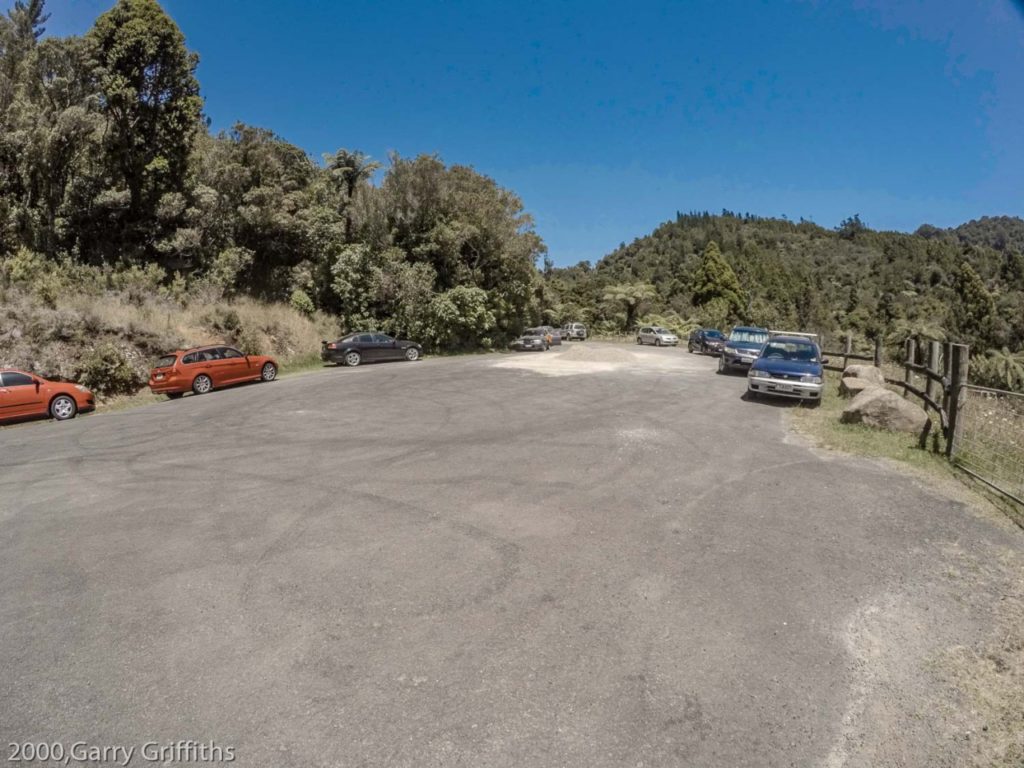
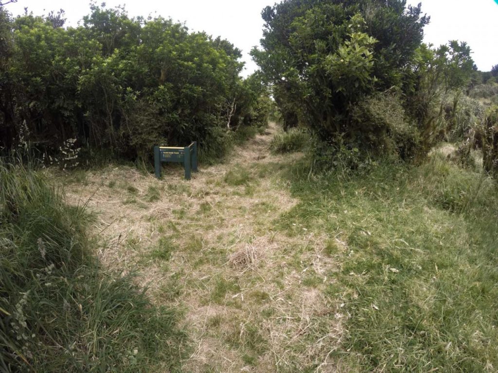
Hot Springs Road car park
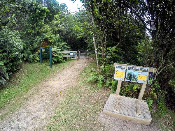
Start of the Tuahu Track walk
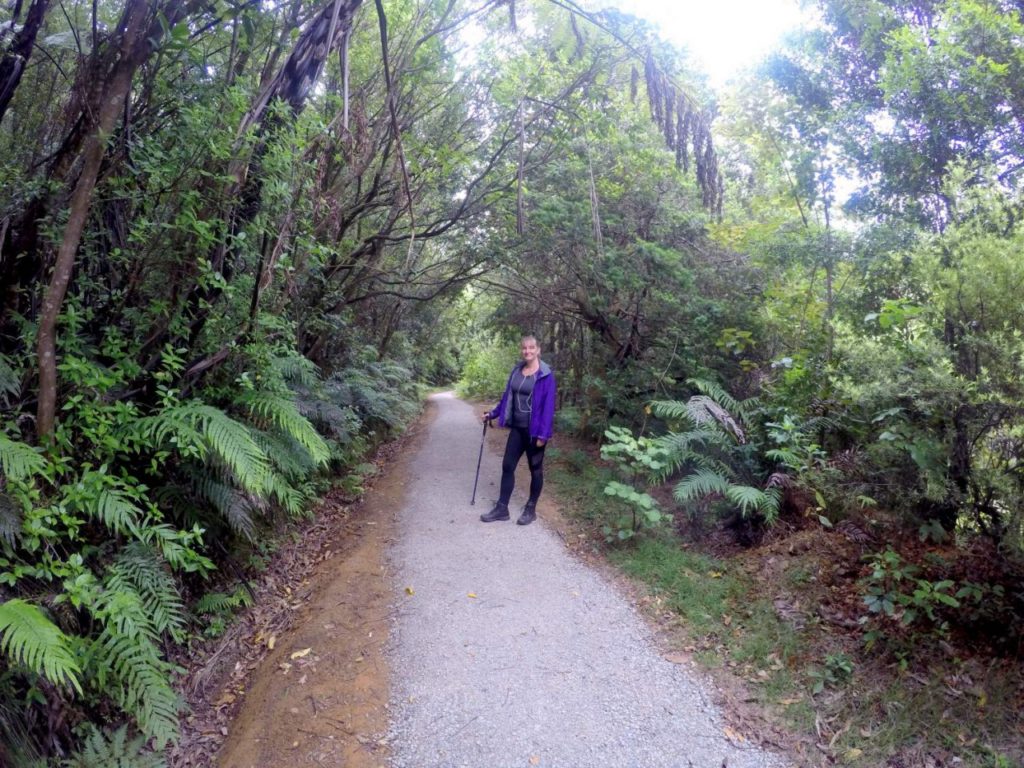
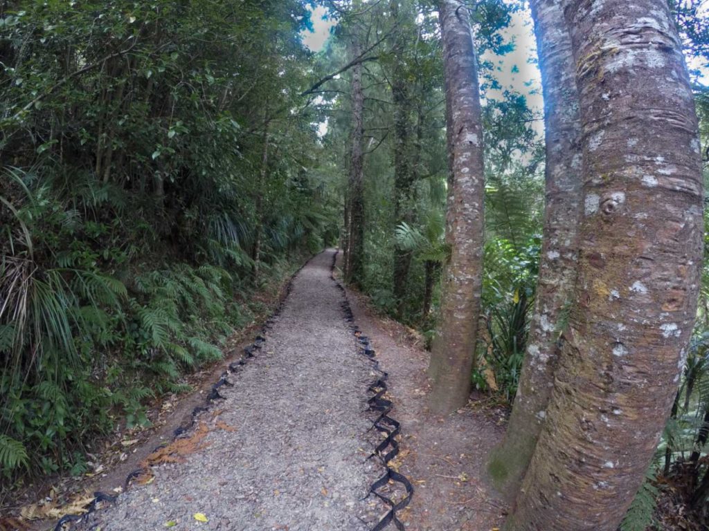
Sandra standing on the very nice wide track
The start of the Tuahu Track Walkway
The start of the Tuahu Track is a 5.5km drive to the end of Hot Springs Road, and a total of 8km south of Katikati. There is plenty of room to park the car, although don’t leave any valuables inside, you might get broken into. There has been a lot of maintenance done on this track and it’s now really nice.
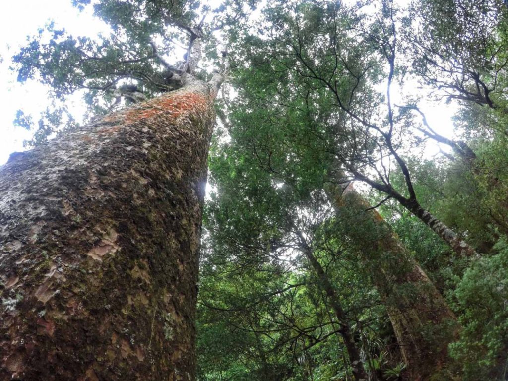
The huge Tuahu Kauri tree
Young Rimu Trees
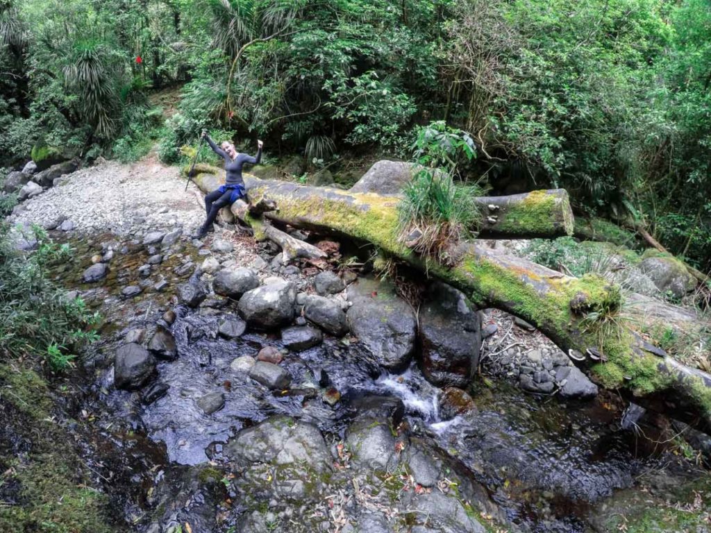
No wet feet today over the Te Rereatukahia Stream
Te Rereatukahia Stream crossing
The start of the Tuahu track is easy to find just follow the sign post. The toilet is up in the trees on the left hand side of the car park. 20 mins into the walk there is a turn off on the left to the massive Tuahu Kauri tree, the 5 minute walk is well worth it, the Kauri tree is amazing. The Te Rereatukahia Stream can be tricky to cross if it has been raining in the last day, otherwise, you can rock hop the stream without getting your socks wet.
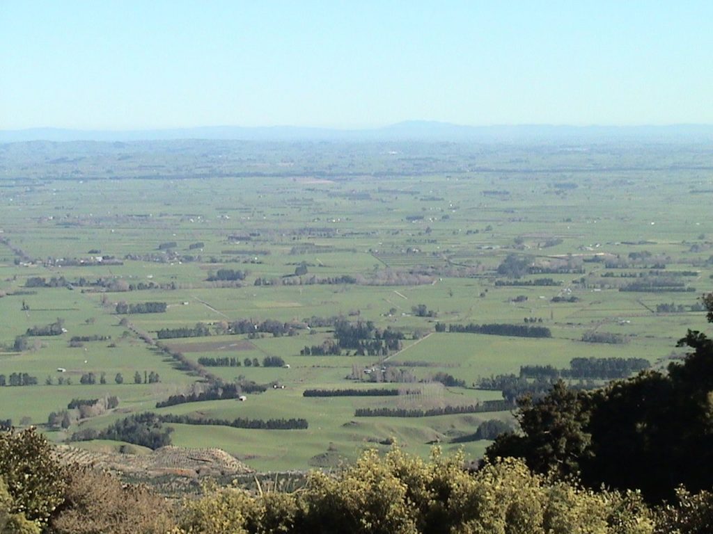
Views out to the Waikato from the very top
Junction with the North-South Track
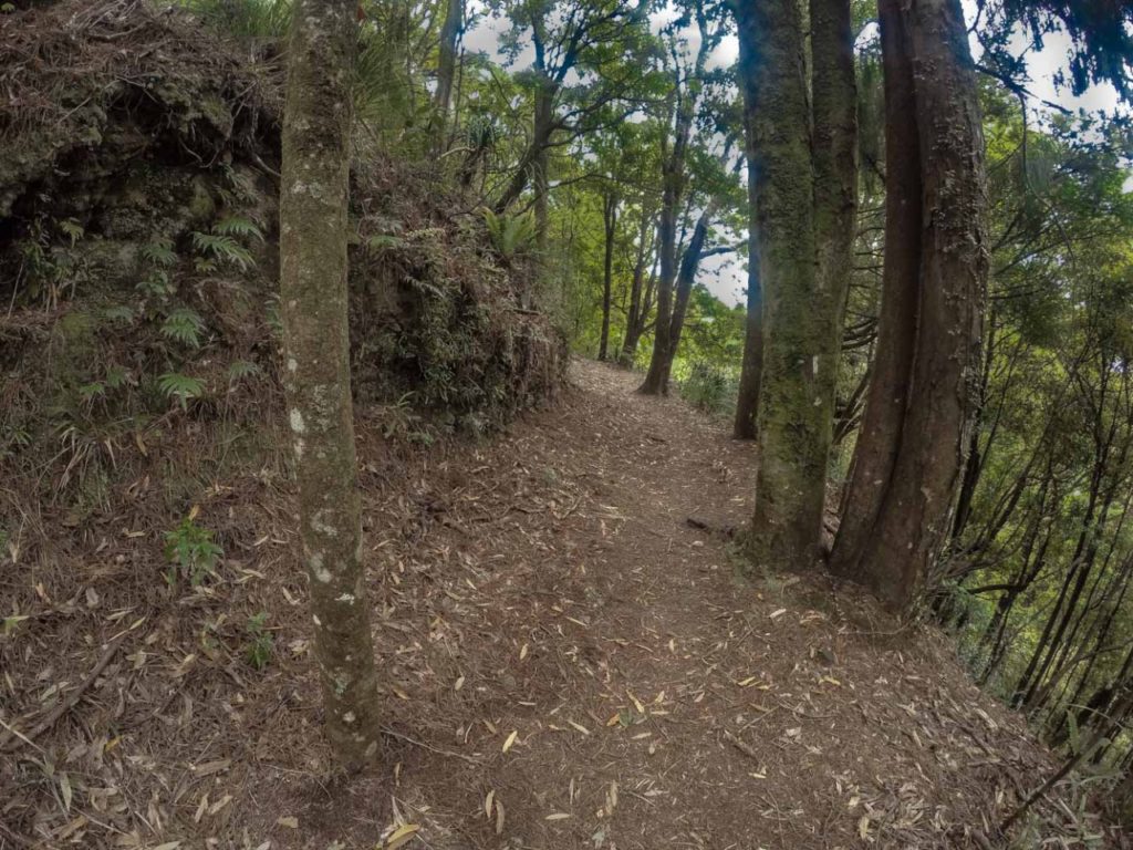
Awesome track through the bush
North-South Track junction at the top
When you cross the Te Rereatukahia Stream it is uphill all the way. You will skip across two more creeks and walk through a small grove of Rimu trees. The track winds its way up the Kaimai Ranges, but is not steep, it’s a fantastic walk. There is so much beautiful bush, with peps through the trees of the stunning views to Tauranga along the way.
At the top of the saddle, you will meet up with the North-South track. If you have some time up your sleeve, or you brought some lunch with you, walk straight past the North-South junction and follow the track over the top for 3 minutes to a grassy strip alongside the track. There is a small patch of grass for you to sit down on, have a hot drink and enjoy the great view of the mighty Waikato. With power 10 binoculars you can just make out Hamilton on the horizon.
