11 kms • 6 Hours • Medium, then hard walk • The Motutapere Hut is a 640m walk along the top of the Kaimai Ranges going south on the North-South Track after leaving the Tuahu Track. 8 km from Katikati.
The Motutapere Hut walk is 640m along the top of the Kaimai Ranges going south on the North-South Track.
You’ll start out on the Tuahu Track and walk to the top where you meet up with the North-South Track. Hang a left and head south to the hut. The first part of the walk to the North-South Track is a medium walk, but to the Motutapere Hut is a hard walk. You can stay overnight in the hut and carry on to Thompsons Track the next morning or return the same day. The hut is free. You can look out to Tauranga from the hut. Located in the Kaimai Mamaku Conservation Park.
There are two ways to reach Motutapere Hut. The first is described below in full detail or you can take a look at the Thompsons Track Loop Walk which will take a little longer but is slightly easier.
About the North-South Track
The North-South track is not for beginners. It requires at least 5 to 7 days of hiking with all your gear and food. This demanding route has many river crossings, steep & technical terrain and remote areas where you may have to navigate around landslides and fallen trees etc. DOC recommends the North-South track is hiked via Waitawheta Hut, and the Waitawheta and Wharawhara valleys.
Other walks from the summit of the Tuahu Track on the North-South Track
Once you get to the summit of the Tuahu Track you hit the North-South track. From here you can turn left and go to the Motutapere Hut, continue past the hut and turn left onto the Mt Eliza Mine Track which then takes you further onto Thompsons Track.
Or you can turn right and do the Te Rereatukaihu Hut Loop walk which comes out just a bit further past the Hot Springs car park.
Quick Facts about this walk
Location: Kaimai Ranges, Katikati, North Island, NZ
Distance: 11 kms return
Time needed: 6 Hours
Difficulty: Starts off medium then turns to hard once you are on the North-South Track.
Wheelchair Access: No
Route: Double back
Elevation: 560m
Wet Feet: Yes
Toilets: Yes
Dogs: No
Mobile Coverage: Yes
Last Updated: March 2022
We’ve partnered with Macpac outdoor walking & hiking gear to bring you the very best products designed exclusively for our New Zealand climate. They’ll ship for FREE within NZ on orders over $100 (if under $100 it’s only $5). Worldwide international shipping is available except to the USA. Bulky orders will be $20.
Summary points about this walk
Walk Highlights
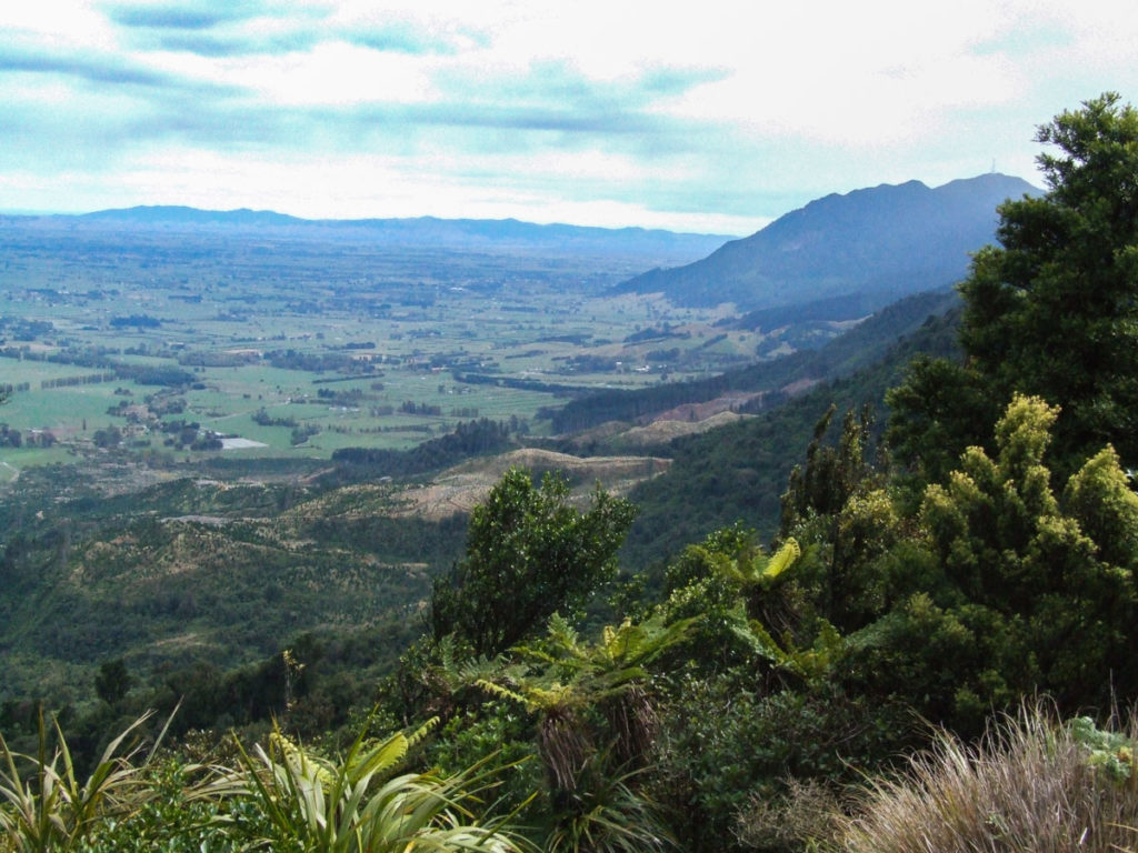
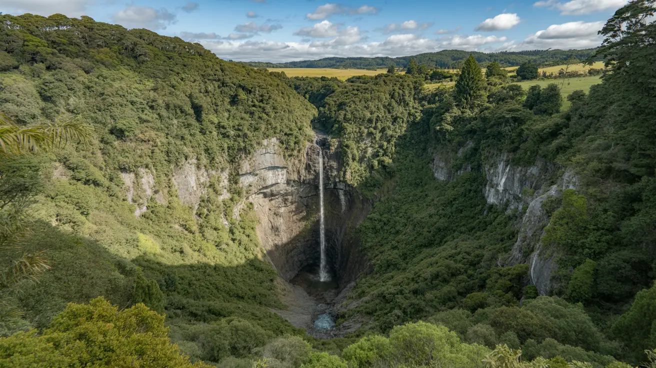
This walk is a good burn out, the views of Tauranga and the coastline and looking out to Hamilton are awesome.
On a clear day you can see the cars and trucks on the main road to Te Aroha, on the Waikato side, the walk to Motutapere Hut is part of the North-South Track.
Track Quality
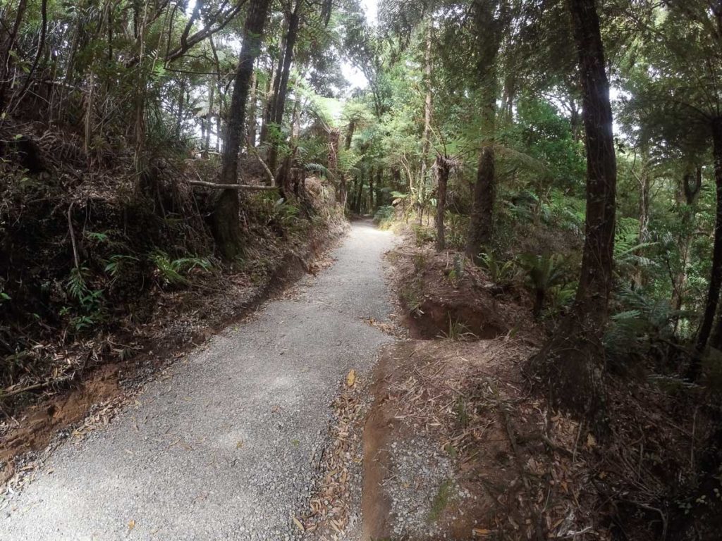
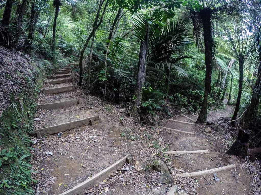
You start off with a very good six foot wide track until you reach the turn off at the North-South Track.
On the North-South Track you will be into real demanding Kaimai Ranges tramping. You will walk around a bluff with a steel cable to hold onto and descend down the staircase, which is very slippery when wet, which is most of the time. I have ran into deer standing on the track but with all that said, the views will make up for all the hard work.
Hazards
Stinging nettle at the start of the North-South turn off is everywhere. Watch out for strong winds on the very narrow and slippery staircase. And watch out for the big stags on the track, they can give you a massive fright.
Transport
There is no public transport to the start of the walk.
Water
There is not a lot of fresh water once you start the up hill climb after crossing the Rereatukahia stream.
At the North-South turn off there is no more water until you reach Motutapere Hut. Just past Motutapere Hut there are a couple of very small creeks, a 20 minute walk, away.
Driving Instructions
Drive south from Katikati on SH2 for around 2 km, then turn into Hot Springs Rd. Drive to the very end where you'll find the car park and start of the walk.
Shops & Restaurants Nearby
There are a few nice cafes in Katikati, plus the Countdown supermarket.
Area & Trail History
Tuahu Track around 1890 was a old Maori bridle track running from the Bay of Plenty up and over the Kaimai Rangers to the mighty Waikato. The Kaimai Rangers has an area of 37,000 ha of native bush and not forgetting the huge kauri trees. As for the bird life you might see a Fantail, Robin, Tom Tit, Pigeon or Tui.
The Kauri you walk past at the start of the walk is known as Tuahu.
There are story’s of families who would ride over the Tuahu Track from Te Aroha to ride in the events in the Katikati AMP show.
They were the Duncans, Halls and Thompsons.
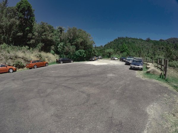
Hot Springs Road car park is where the walk starts
The start of the Tuahu Track walkway is a 5.5 km drive to the end of Hot Springs Road, and a total of 8 km south of Katikati. There should be plenty of room to park your car. But don’t leave any valuables inside, it’s not safe in the car park.
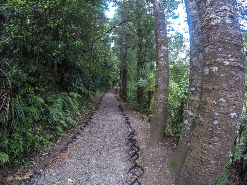
Nice new wide part of the track
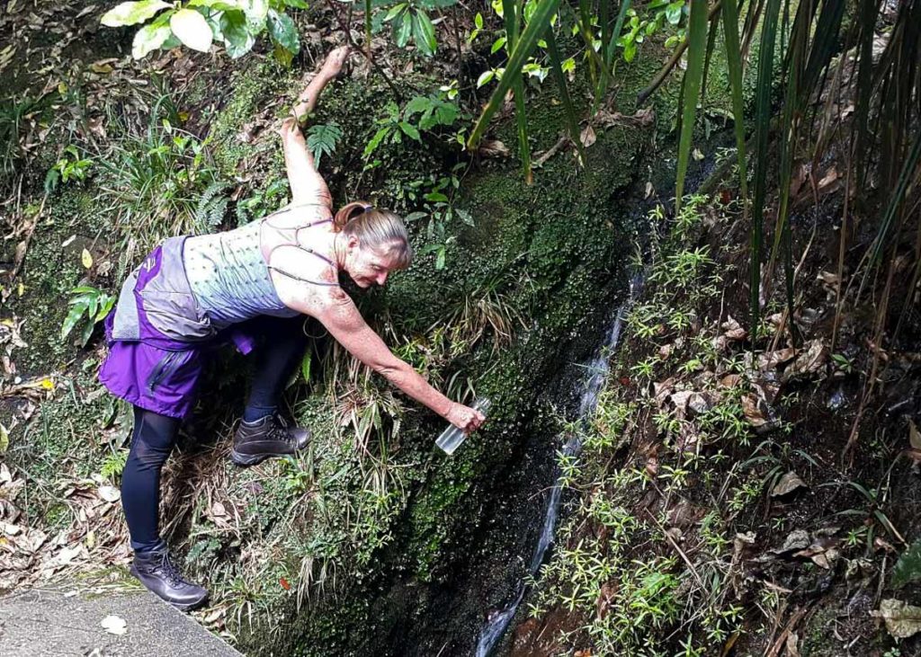
Filling up with fresh water from one of the streams
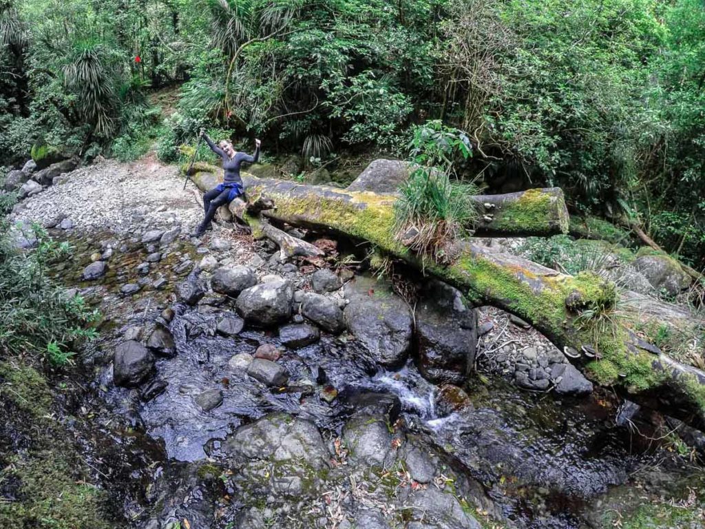
The Rereatukahia Stream was an easy rock hop today
Track to the Kauri grove.
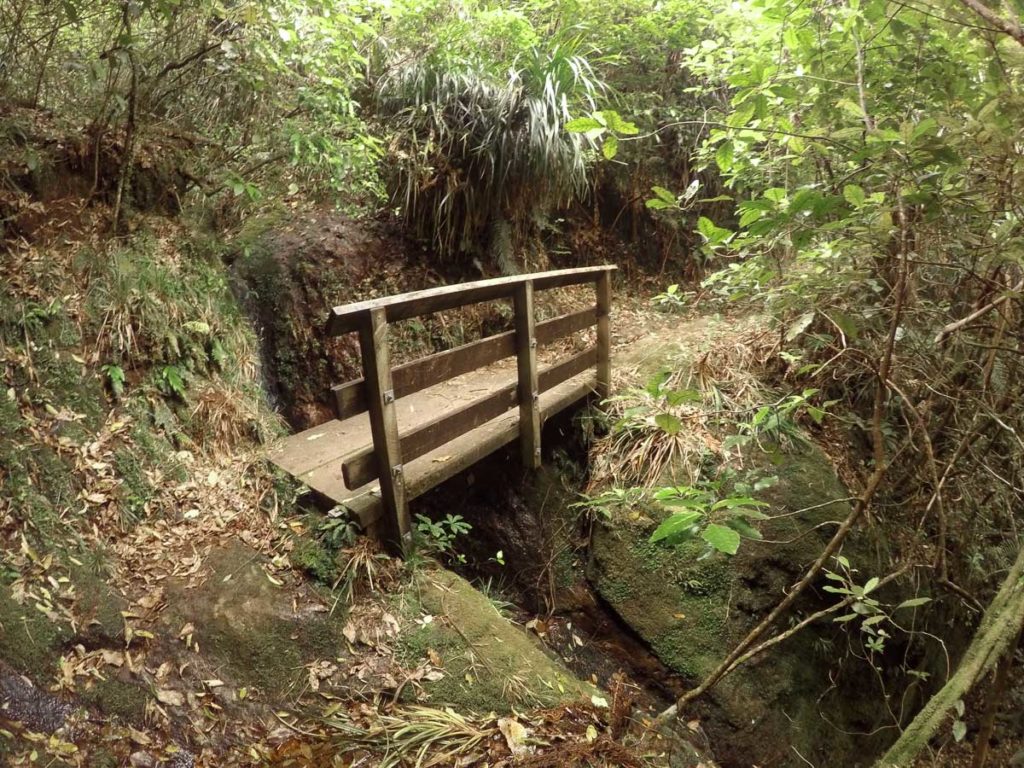
One of the many bridges crossing a stream
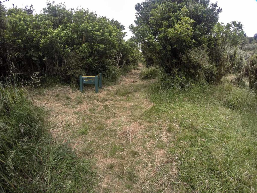
At the top where you meet the North-South Track
The North-South Track turnoff
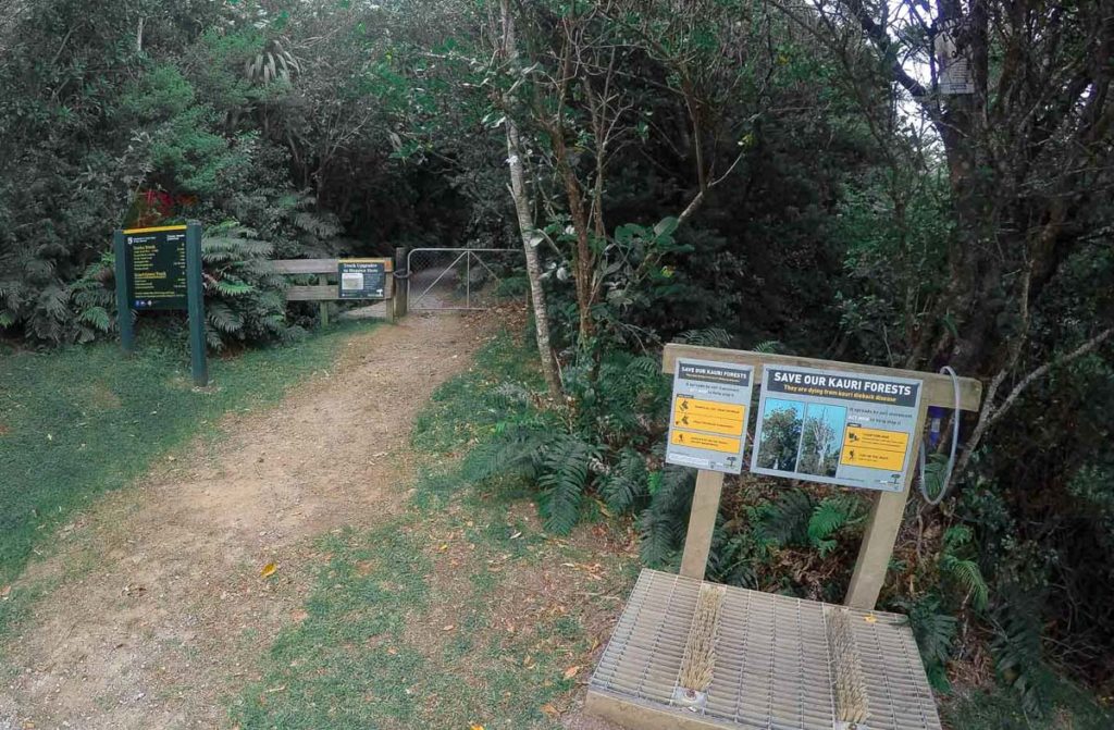
The start of the Tuahu track is easy to find just follow the signpost. After 20 minutes into the walk, there is a turnoff on the left to the Tuahu Kauri. It is a loop track and the five minute walk is well worth it.
The Rereatukahia Stream can be tricky to cross if it has been raining in the last day or two, otherwise, you can rock hop the stream without getting your socks wet.
After you cross the Rereatukahia Stream it is uphill all the way. You will skip across two more creeks. Take the opportunity to fill up with water.
At the top of the saddle, you will meet up with the North-South track.
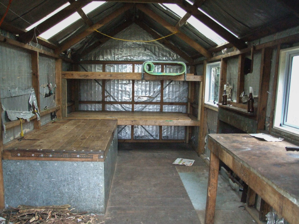
Inside the old Motutapere Hut
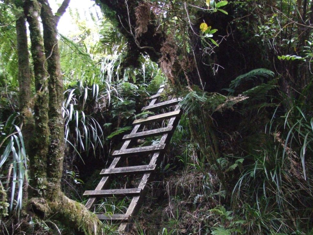
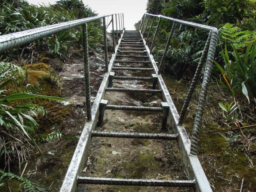
The steep wooden step ladder
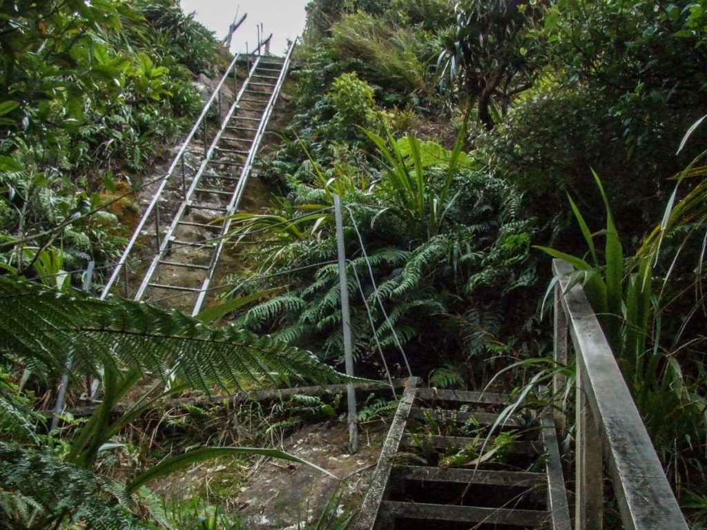
Steep metal ladder after the wooden one
Looking straight up the skinny metal ladder
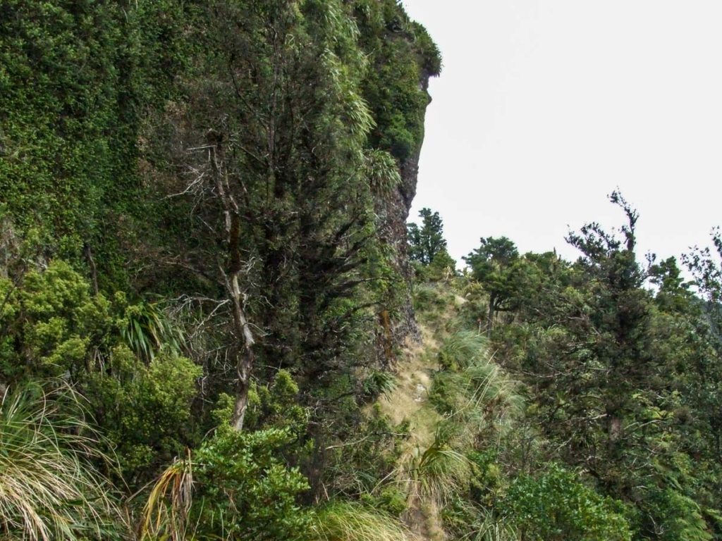
Walking around one of the bluffs
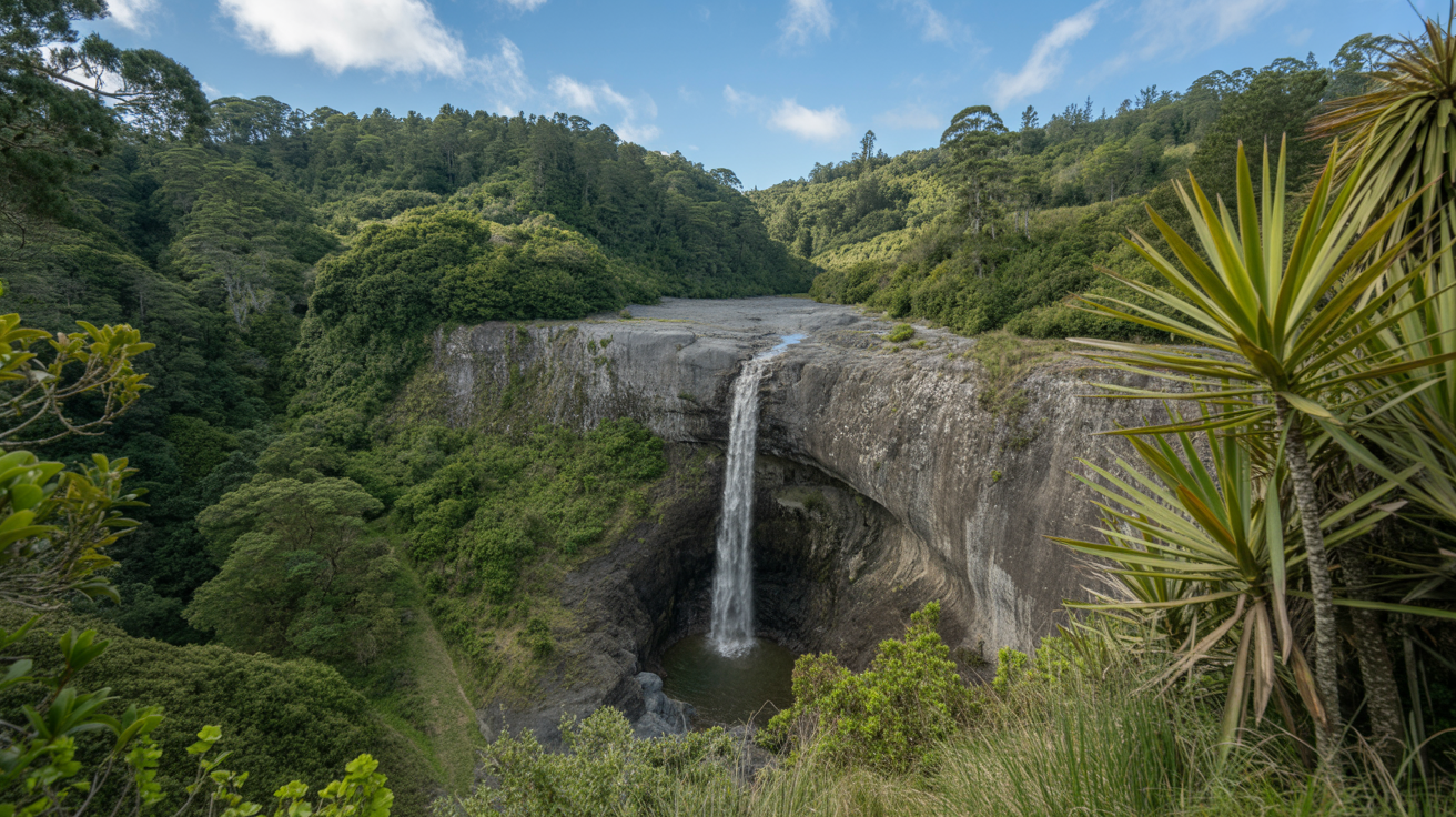
Stunning views of the Waikato
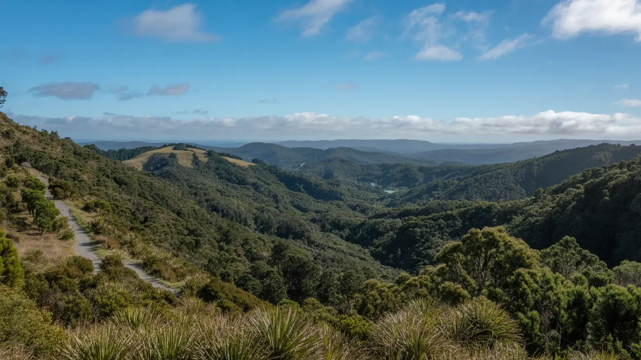
Walk along the ridge line to the old Motutapere Hut
Turn to the left and walk south on the North-South track. From here on it is a few short but steep sections to climb, but the views of the Bay of Plenty and the mighty Waikato are well worth the sweat.
There is a small bluff to walk under, but there is a wire rope to hold on to. You will only need the wire rope if the gale force westerly is blowing.
The next challenge is the steel ladder to descend. I found it so narrow my backpack was getting caught up in the rails every step I took, but the worst was to come. I stepped onto the start of the wooden step and took a short trip down to the next two steps. But all was forgotten when I climb out of the ravine thinking about a hot cup of coffee would go great about now.
Then I came head to head with a young hind. The hind deer barked at me then jumped over the ridge and disappeared leaving me with a small heart attack to get over.
The next set of steps I had to climb were also wood, this was followed by a slip and slide section down hill to the Motutapere Hut and a hot coffee. The Motutapere Hut was over due for a clean up before I had my hot cup of coffee and a slice of carrot cake. It was an interesting night, with the rats trying to get into my pack and eat my delicious carrot cake and the possums dancing on the tin roof, I was not lonely that night.
Stay the night and continue the walk along the North-South track to Thompsons Track or return the same day.
About the Motutapere Hut
This is a basic three-bunk hut. No bookings are needed, it’s free to stay overnight. It’s first come, first served. You could pitch a small tent but the ground is not very flat. The hut is managed by the Thames Valley Deerstalkers Association.
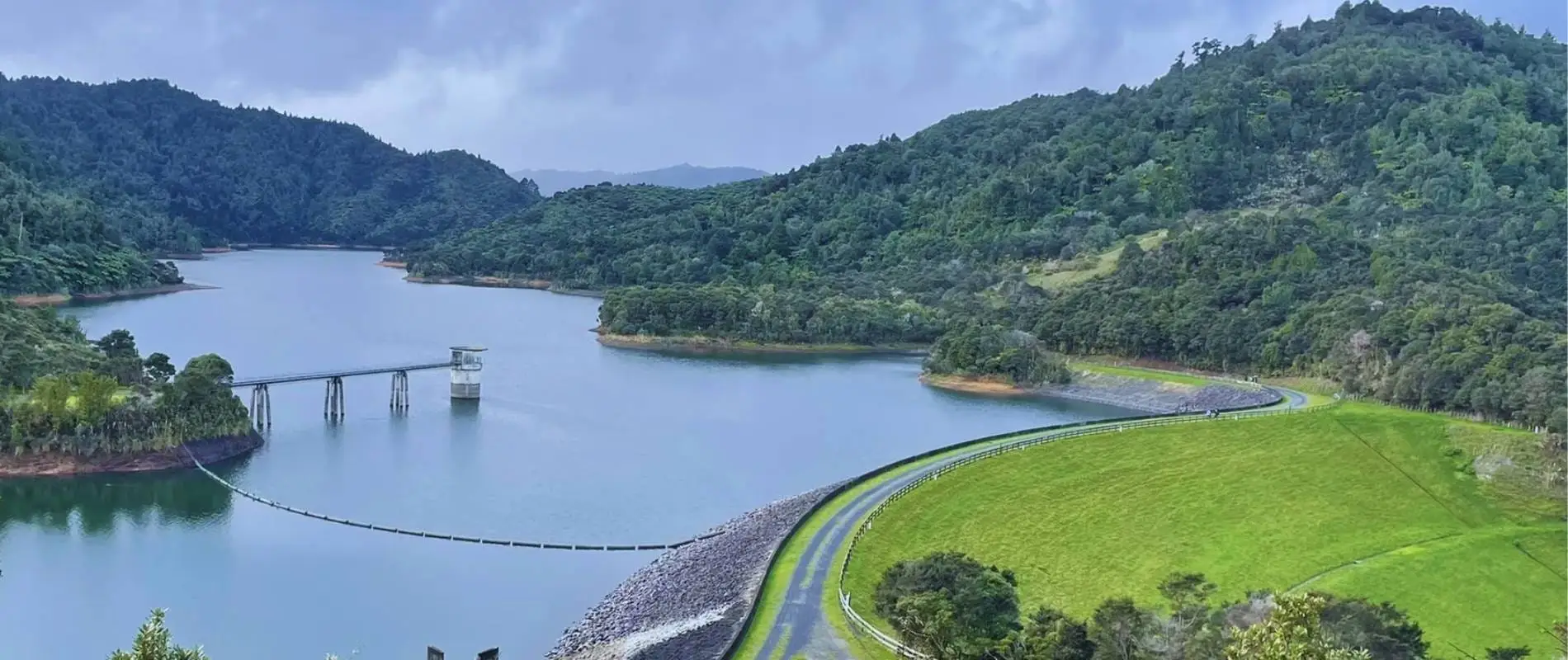
You'll love this easy 3.5km loop through native bush in the Hunua Ranges. Expect waterfalls, swimming holes, and tall kauri trees. Perfect for families and ...
You'll find stunning waterfalls and native bush on this easy 30-minute loop walk in the Hunua Ranges. Perfect for families and photos. Get directions and ...