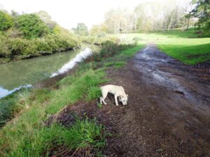
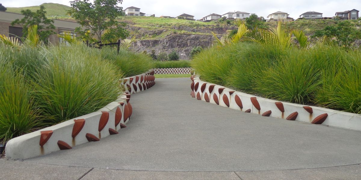
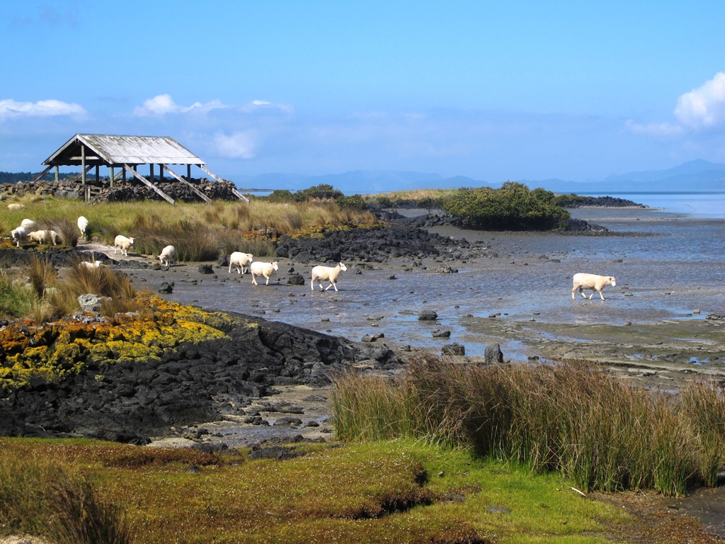
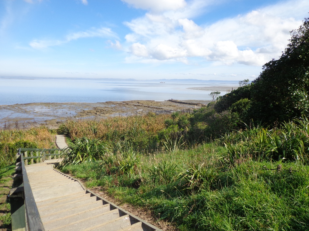
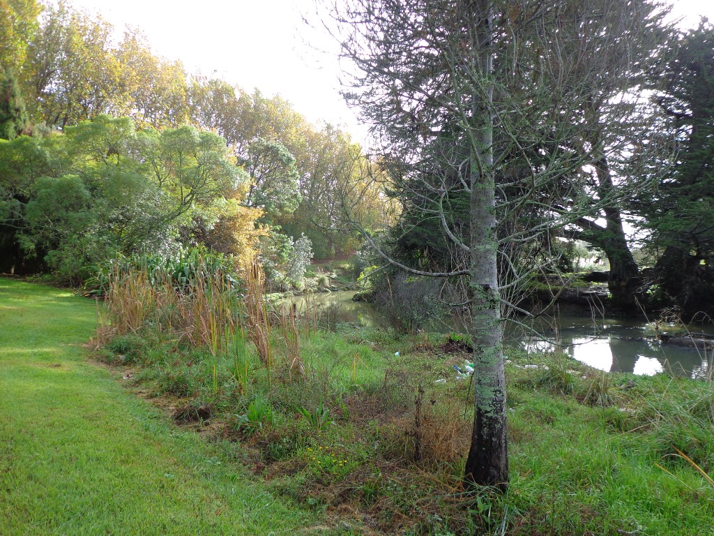
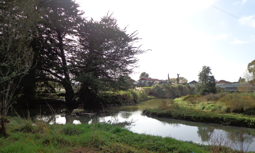
The Otara Creek Walkway in South Auckland, passes through some 220 hectares of waterway/tidal mudflats and forms a green corridor within Otara township.
This huge reserve was almost empty today; we saw two cyclists and one stray dog.
This walkway is ideal for family cycling and for taking your dog for an off-leash walk. (Dogs are welcome along the walkway provided they are kept under control and do not disturb wildlife or other park users. Dogs are not permitted on sport fields or near children’s playgrounds.)
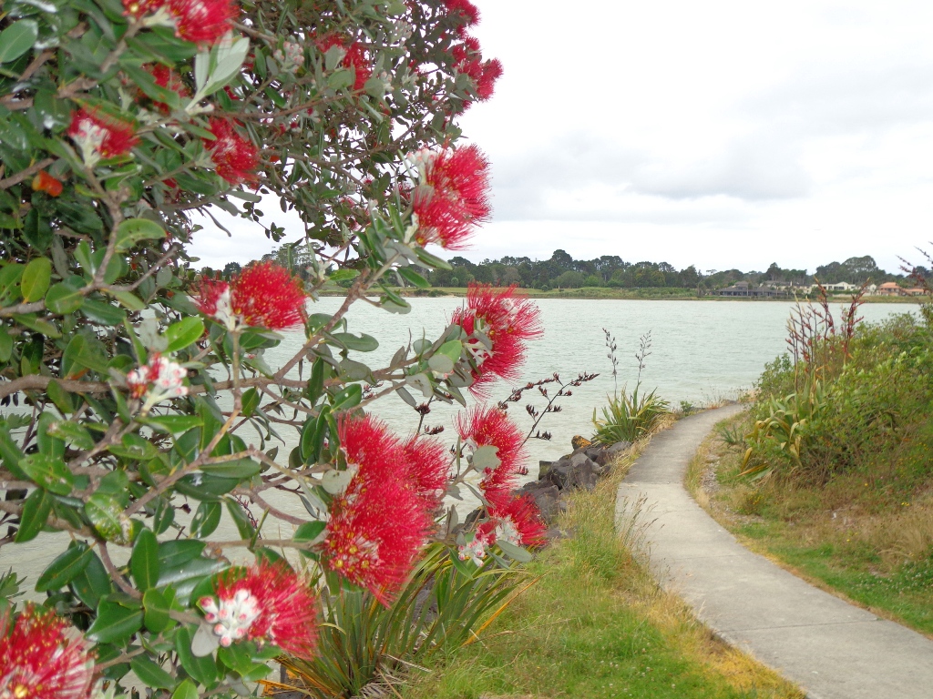
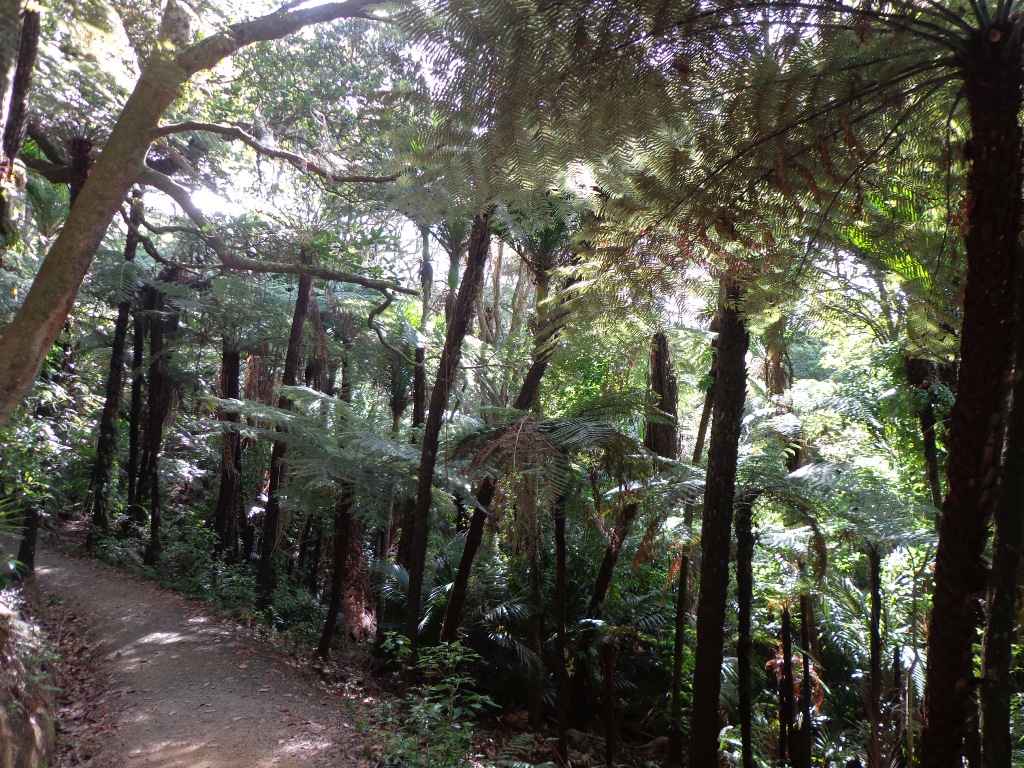
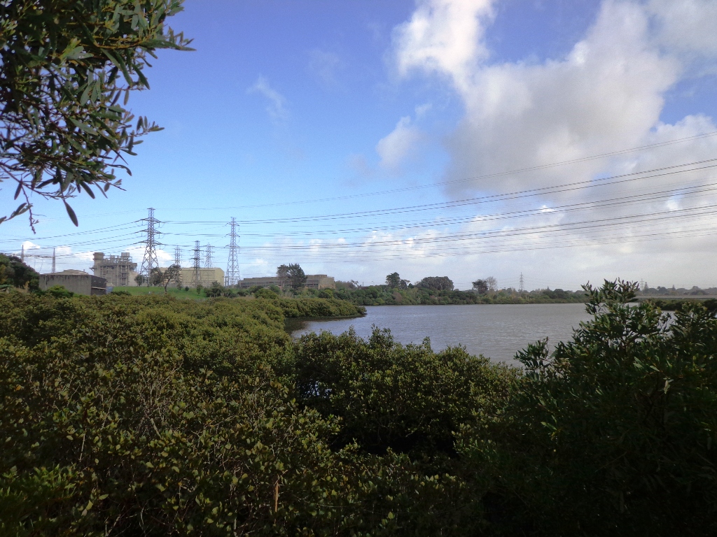
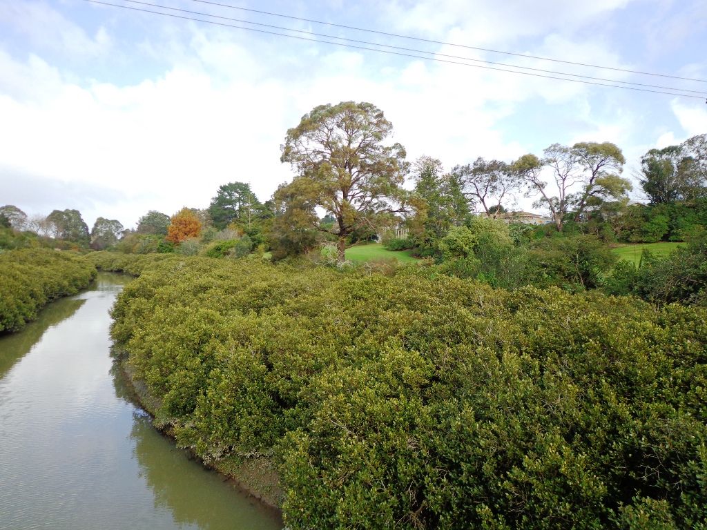
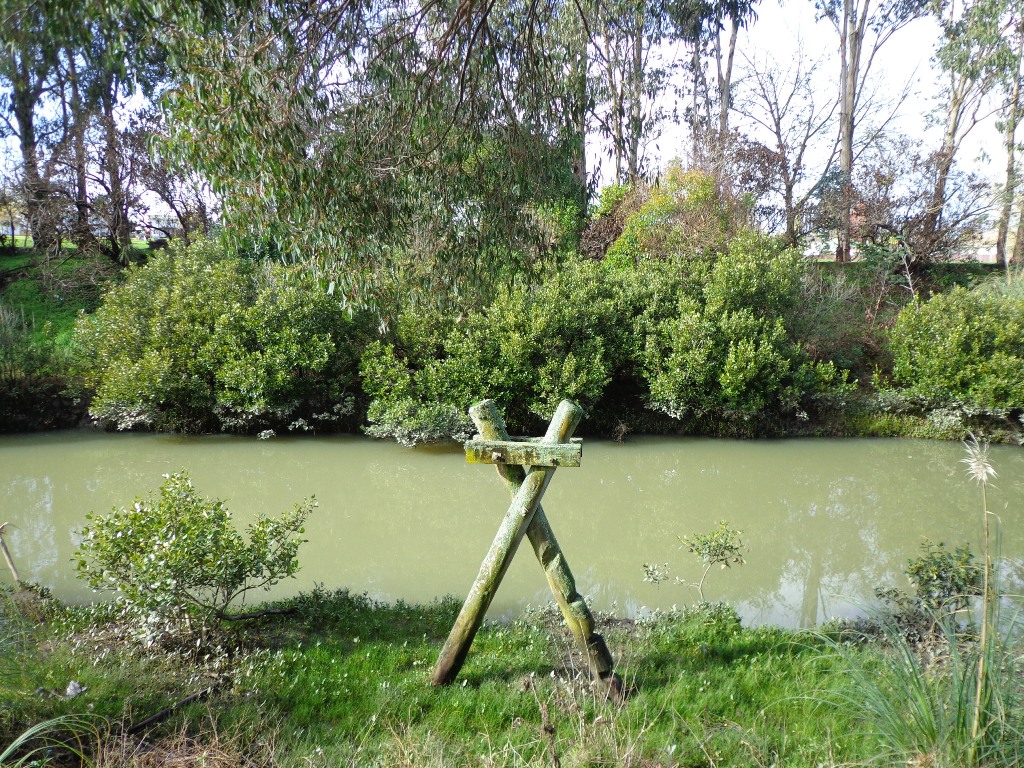
The creek has mangrove mud flats and is sadly polluted – the locals seems to take delight in dropping shopping trolleys into the creek. However, if you can overlook the neglect, you may find enjoyment in the bigger view: the sounds of the birds and the trees and the native plants within the Otara Creek Reserve.
When I got home the thought came to me what it was that was missing here. Other walks along waterways in Auckland like Wattle Downs and Conifer Grove have homes facing the waterway, but here alongside Otara Creek, there are only fenced off back yards. Would people feel a sense of ownership, if another row of houses inside the reserve faced the creek?
Hi guys I find this website very interesting as I love walking somewhere different. As I am a relative new comer to NZ and have no idea where some destinations are located. To save time searching the web for details it would be useful to have a map on the page.
Helen
Hi Peter, Thanks for your comment. We figure that most people visiting Auckland would have a hard copy map or are able to google a map using a smart phone/laptop etc, that would help them to locate our walks. Each of our walk guides comes with a map and detailed directions. We have also designated each walk into an area of Auckland – central, east, west, north, south. I spent 16 years living in the UK (before Google) and I used my own maps extensively to find my own way walking, cycling (and catching the London Tube!). We encourage walkers to discover and explore Auckland – it is part of the discovery process, and it is the best way to get to know a place. Have fun! Helen
Terri Marchant-Secretary/Education Officer
Tamaki Estuary Protection Society likes this site. Great walks for everyone and encourages people to enjoy thevast Tamaki River area. We will encourage people to look at this page, and put details in our newsletter.
Helen
Hi Terri. We are glad you found us. Thank you for informing your members. Regards, Helen
This walk around the base of the Mount Wellington volcano explores the Stonefields residential development, the Maungarei Springs Wetland and the businesses along Lunn Avenue. ...
Puhinui Reserve Walkway was another new discovery for us last week. It is a huge (199 hectares of rural landscape) undeveloped area out near Auckland ...
I walked Mangere Esplanade in October and I'll tell you everything: best parking, the godwits refuge, HMS Orpheus memorial. Get your free map and start ...
The Weymouth Walkway south of Auckland, is a mainly flat (suitable for wheelchairs and pushchairs), concrete paved path that follows the coastline of Manukau Harbour ...
