6 kms • 4 Hours • Medium • The start of the walk is on the Tuahu Track then onto the Kauri Loop Track (optional) before turning off to Sentinel Rock Lookout Track. You shouldn't attempt to climb to the summit as it's very steep and dangerous.
The Sentinel Rock Lookout walk is a medium 6k walk that will take you around 4 hours to complete.
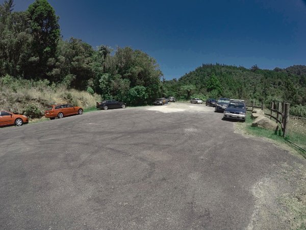
You will start the walk at the same car park for the Tuahu Track walk in the Kaimai Ranges, located at the end of Hot Springs Rd, around 8k from Katikati. You can enjoy the Kauri Loop Track along the way, then turn off again to Sentinel Rock Lookout. The very last bit of the track to the very summit of Sentinel Rock is actually closed, well you can still walk it but at your own risk, it’s very steep and dangerous, DOC recommends you do not try and hike it up there. Unfortunately, the best views are to be found at the very top at the summit, not before.
Quick Facts about this walk
Location: Kaimai Ranges, Katikati, North Island, NZ
Distance: 6.00 kms
Time needed: 4 Hours
Difficulty: Medium
Wheelchair Access: No
Route: Double back
Elevation: 536m
Wet Feet: No
Toilets: No
Dogs: No
Mobile Coverage: Yes
Last Updated: March 2022
We’ve partnered with Macpac outdoor walking & hiking gear to bring you the very best products designed exclusively for our New Zealand climate. They’ll ship for FREE within NZ on orders over $100 (if under $100 it’s only $5). Worldwide international shipping is available except to the USA. Bulky orders will be $20.
Summary points about this walk
Walk Highlights
Sitting on top of Sentinel Rock looking up and down the Kaimai Ranges. It's not recommended you hike to the summit.
Track Quality
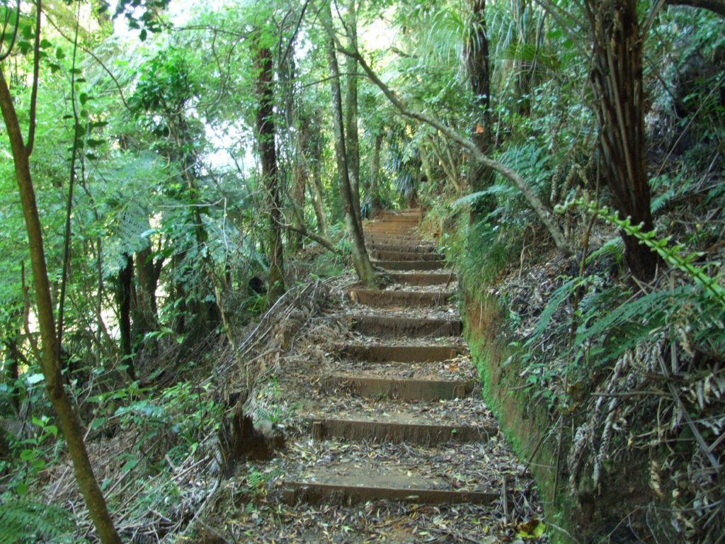
A six foot track to start off with, but as you climb there will be dozens of tree roots to trip you up.
Hazards
Climbing to the Sentinel Rock summit you will be hanging onto blades of grass and fresh air. It's very dangerous and NOT recommended to try climbing to the summit.
Transport
You need to get yourself to the car park at the end of Hot Springs Rd, where the walk starts. There is no public transport available.
Water
The only water available is out of the fresh water creeks along the way. At the time we did this walk the water was beautiful, hopefully it will stay that way.
Driving Instructions
8 km south out of Katikati, turn right into Hot Springs Rd. Follow the road, when you get to the fork with the campground, make sure to keep left and continue to the end where the car park is.
Shops & Restaurants Nearby
In Katikati you'll find a couple of cafes and restaurants. There is a good sized supermarket there as well.
Area & Trail History
Tuahu Track around 1890 was a old Maori bridle track running from the Bay of Plenty up and over the Kaimai Rangers to the mighty Waikato. The Kaimai Rangers has an area of 37,000 ha of native bush and not forgetting the huge kauri trees. As for the bird life you might see a Fantail, Robin, Tom Tit, Pigeon or Tui. There are story’s of families who would ride over the Tuahu Track from Te Aroha to ride in the events in the Katikati AMP show. They were the Duncans, Halls and Thompsons. They would arrive on Friday afternoon, ride in the show on Saturday, then dance the night away after the trophies were presented and then ride home Sunday with a hang over.
Sentinel Rock Map Location
Topo Map of Sentinel Rock Lookout and Summit
If you’re looking on the Topo map of Sentinel Rock it’s a bit misleading. The actual summit looks like it is much closer to Motutapere Hut, but it’s not. We have walked to the Motutapere Hut too. The summit is much higher than the hut. You can see from the image below the first red circle with the little tramper icon is where the Sentinel Rock Lookout Track stops. The rest of the walk is to the summit, this part is not recommended to climb. Hopefully, it makes it clearer to understand.
The car park is on a sealed road just a short 8km drive from Katikati. It’s not a massive car park, but you should be able to find a spot. Be careful and don’t leave anything in your car at all, it’s not safe and you can be broken into.
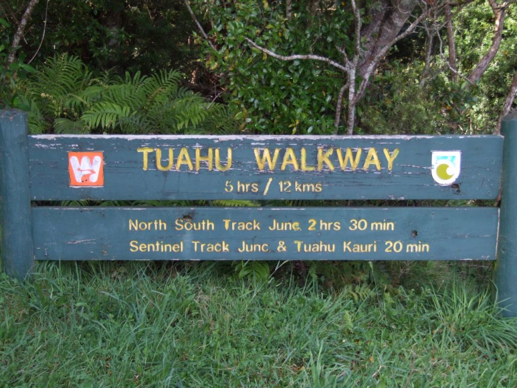
Sign at the start of the walk
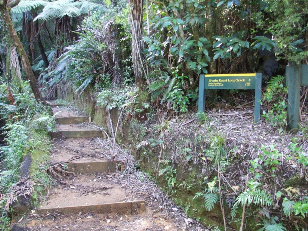
Turn off here if you want to do the Kauri Loop Track.
Turn off to Sentinel Rock
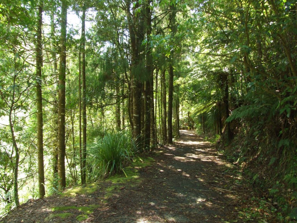
You will start the walk on the Tuahu Walkway track. Walk through the gate at the end of the car park and onto an excellent six foot wide track. 10 minutes into the walk there is a good creek to dump your chemically treated town water and top up with real fresh water. The turn off to Sentinel Rock from the car park is a pleasant 20 minute walk. You should take the Kauri Loop Track walk, it comes out further down the original track.
A few steps after the turnoff on the Kauri Loop Track.
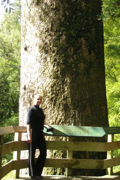
Sandra standing in front of the massive Kauri tree - Tuahu.
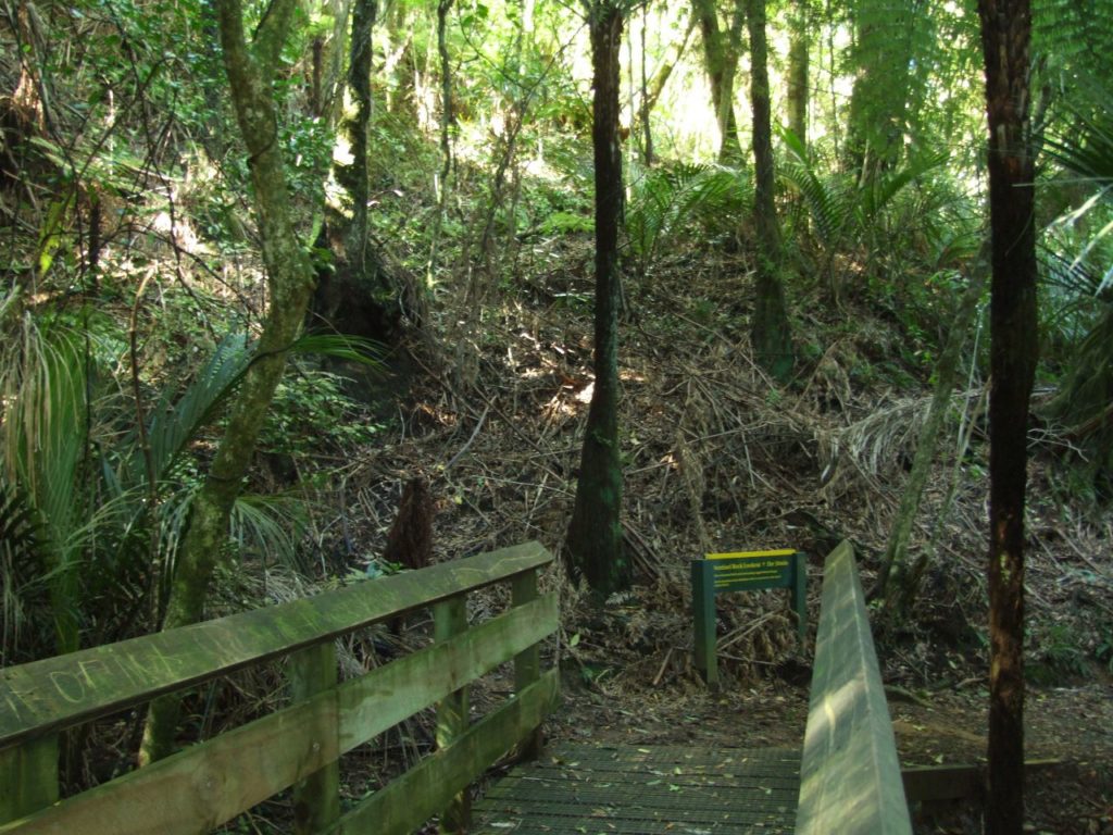
Boardwalk through the Kauri grove.
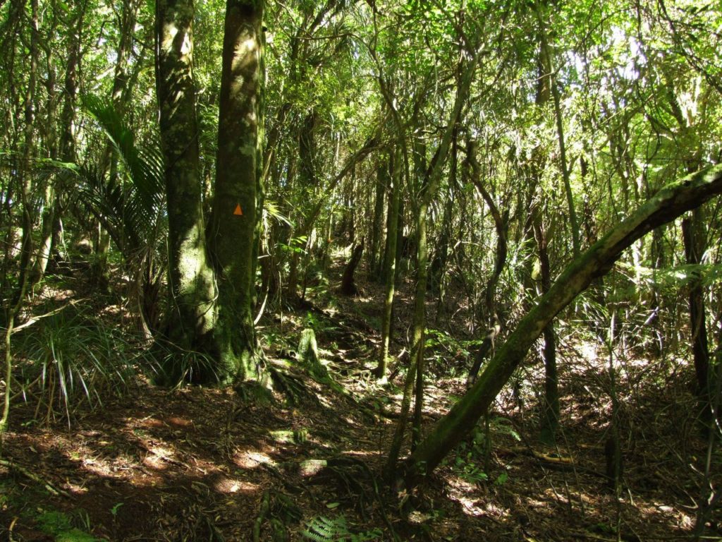
Walking through the bush.
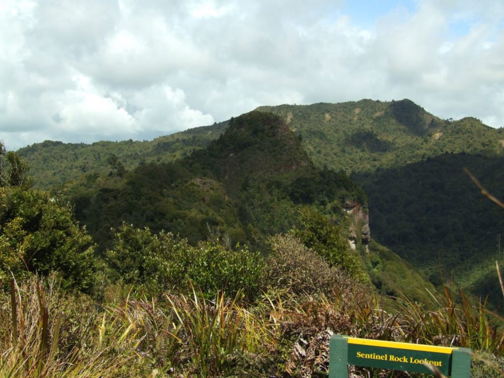
Sentinel Rock Lookout
Sentinel Rock Lookout
There is a little bonus in this walk, you will walk right past the giant Kauri tree – Tauhu. It is thought to be around 600 years old. The first limb is 12.8 m from the ground and the diameter at the base is a slim 2.7 m. Follow the track past Tauhu to the next turn off just minutes away, cross the bridge and take the track to the left. To Sentinel Rock Lookout the track is just the same as any other track in the Kaimai ranges. Lots of tree roots to trip you up and miles of damp thick bush. At an easy pace it took us 1 hour and 10 minutes to reach the Sentinel Rock Lookout.
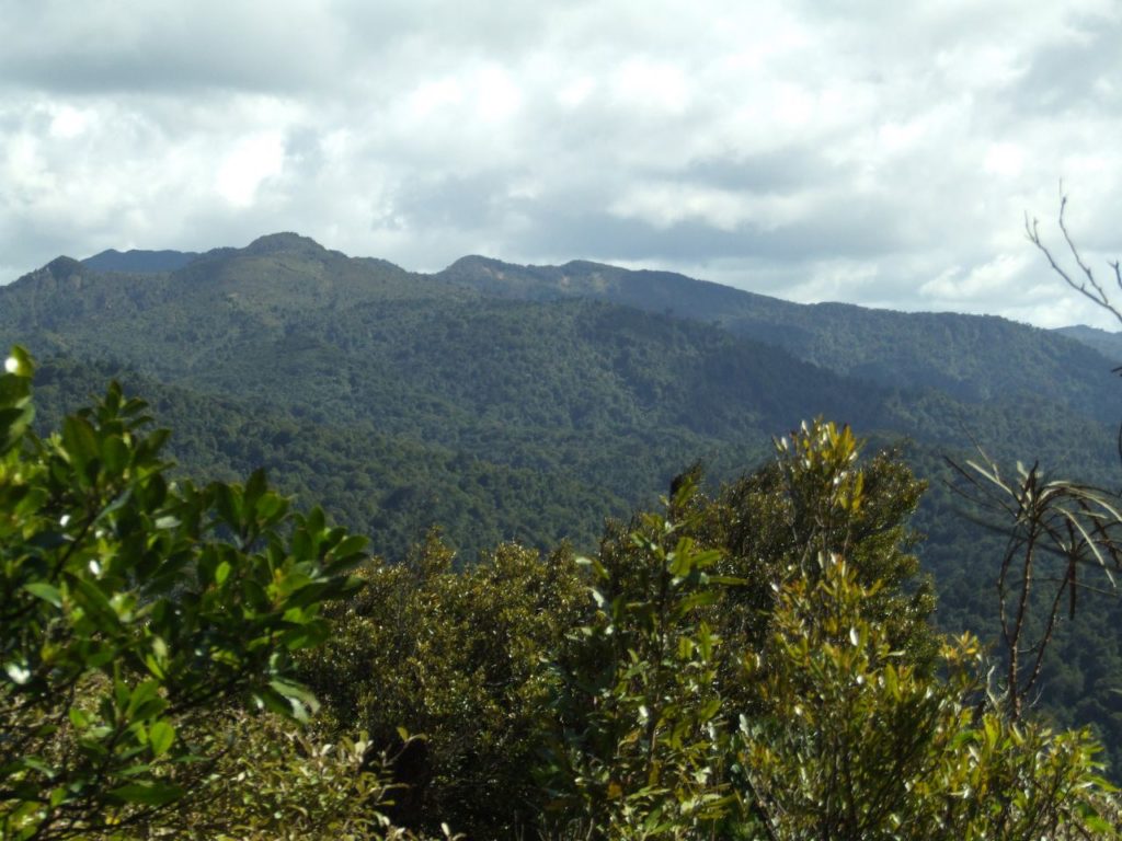
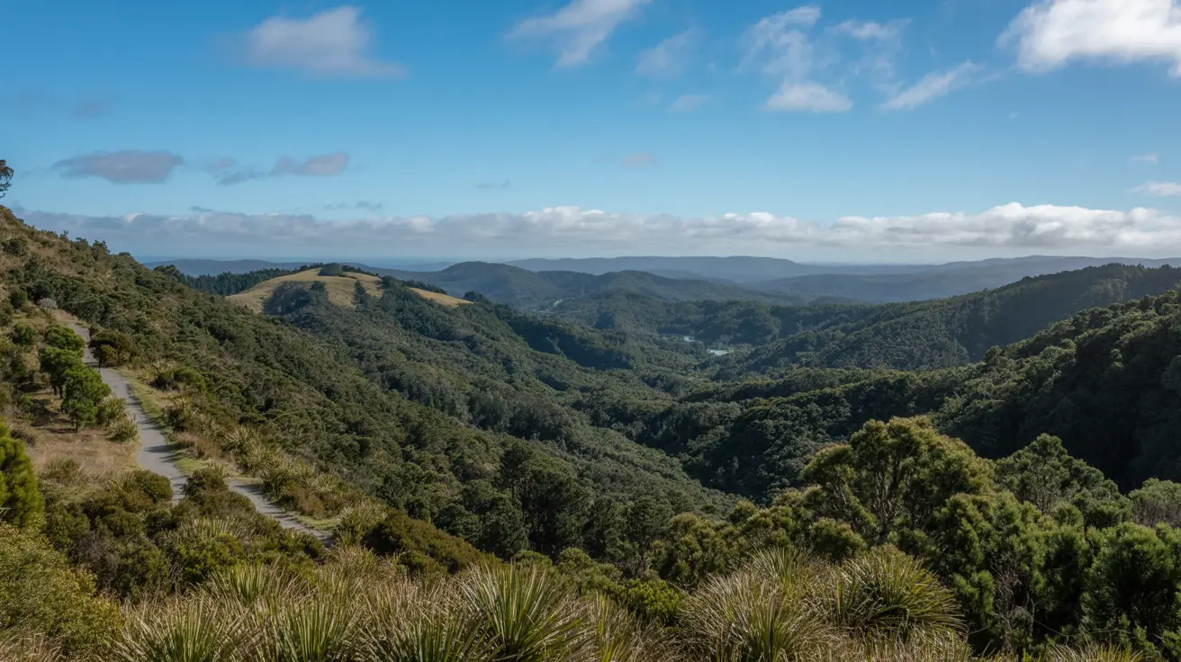
Views out to the Kaimai Ranges
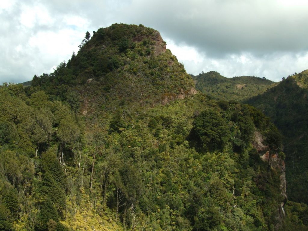
Looking to Sentinel Rock summit
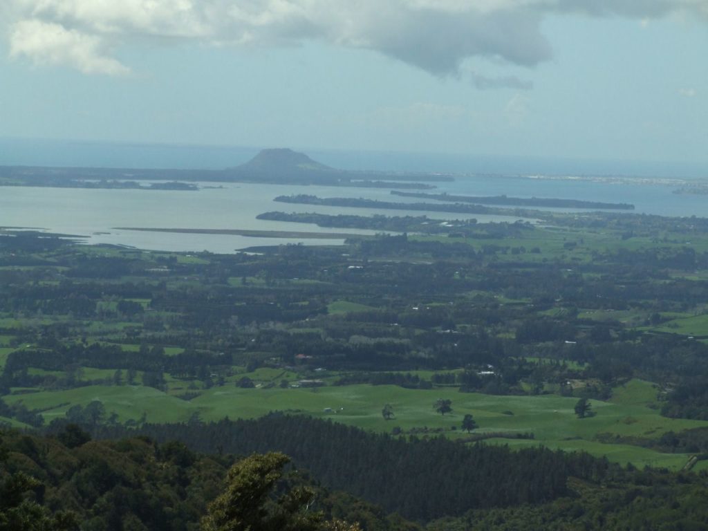
Views out to Tauranga
Sentinel Rock Summit
Now the sign says the track up to Sentinel Rock is closed. DOC is recommending trampers do not climb to the top of Sentinel Rock as it’s very steep and dangerous. I did ignore the sign and the last 10 m of the climb needs a lot of caution, just take your time and get a secure foothold before taking the next step. So go and have a look, from the lookout to the top of Sentinel Rock will take you around 20 mins. The view from Sentinel Rock on a fine day is fantastic, on a cloudy day take a warm jacket so you can sit down and enjoy the view, a flask of hot coffee and a slice of chocolate cake would round off the perfect day. Return the same way.
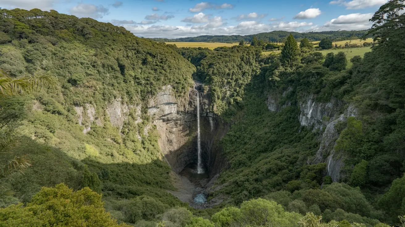
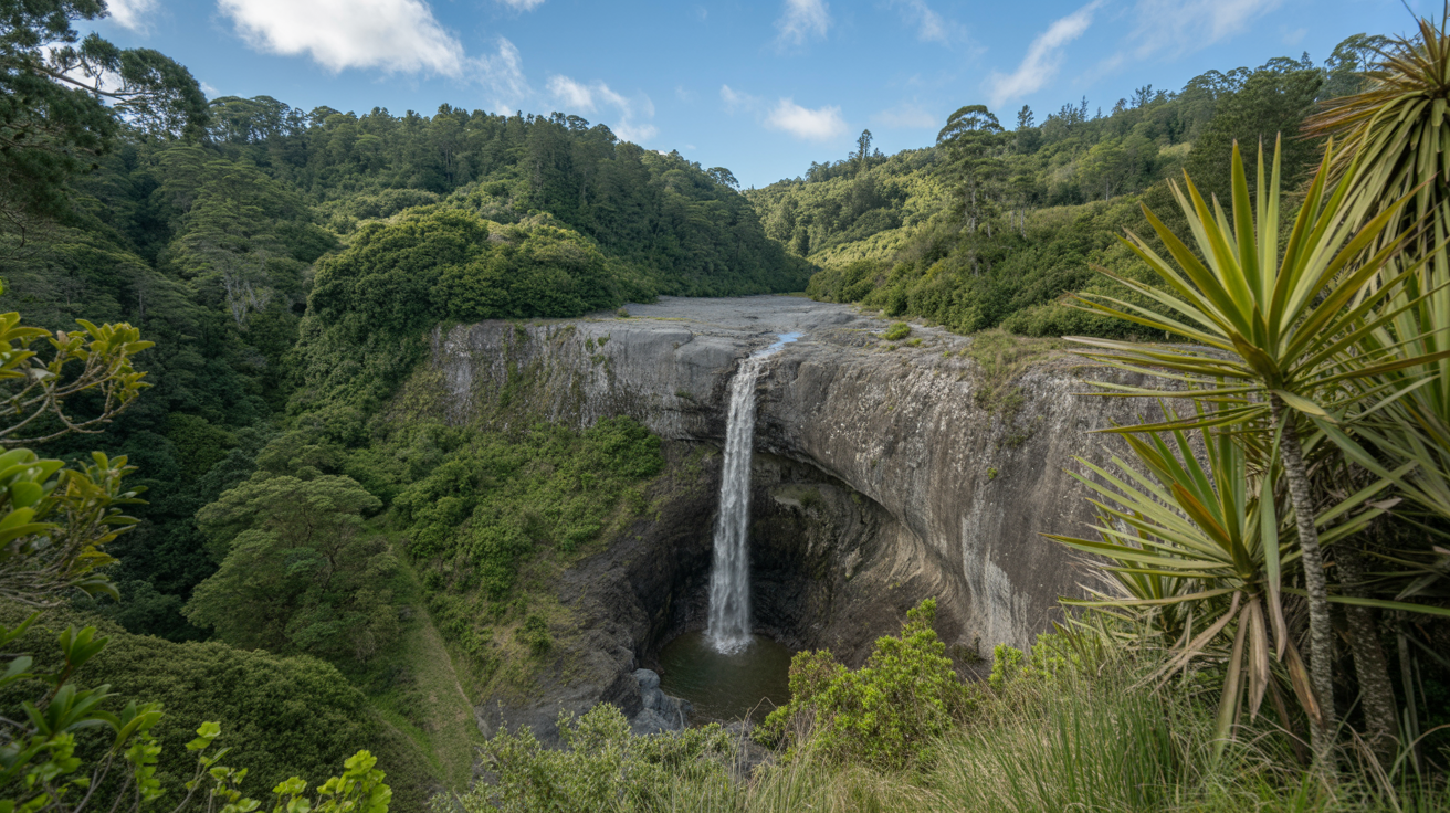
You'll love this easy 3.5km loop through native bush in the Hunua Ranges. Expect waterfalls, swimming holes, and tall kauri trees. Perfect for families and ...
You'll find stunning waterfalls and native bush on this easy 30-minute loop walk in the Hunua Ranges. Perfect for families and photos. Get directions and ...
Hi Ronald, thanks so much for your feedback. We’ve taken a look at the Topo map and it’s not showing Sentinel Rock correctly, well it’s misleading. I’ve added a screen shot below the Google map location above to show this. When you are at the summit you look down on Motutapere Hut, it’s a lot lower. Hope that helps.


2 Responses
According to topomap, Sentinel Rock is on the other ridge near Motutapere Hut, not where you described.
Hi Ronald, thanks so much for your feedback. We’ve taken a look at the Topo map and it’s not showing Sentinel Rock correctly, well it’s misleading. I’ve added a screen shot below the Google map location above to show this. When you are at the summit you look down on Motutapere Hut, it’s a lot lower. Hope that helps.